Uphill
742m
Length
11km
Duration
5h30min
Elev gain
742m
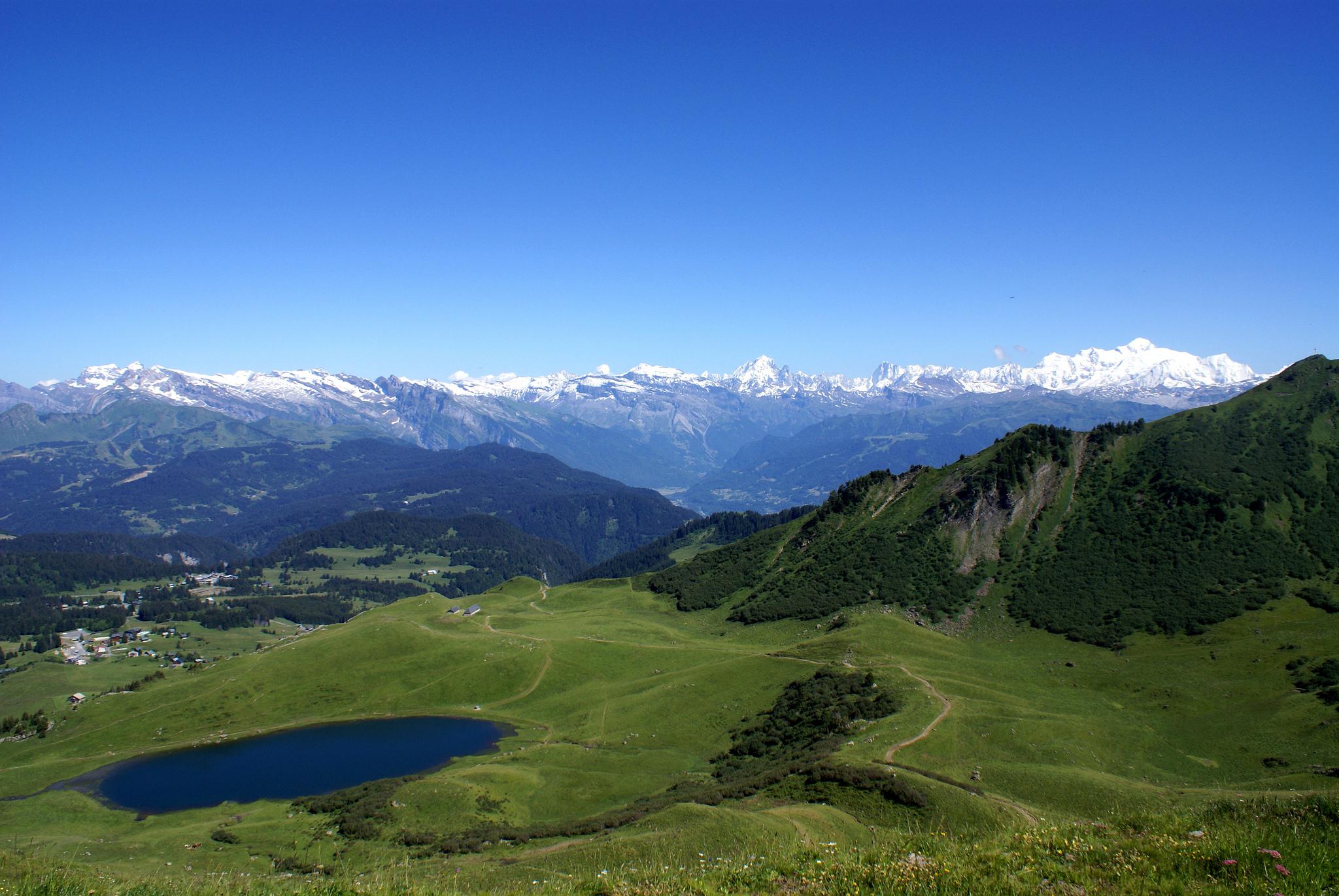
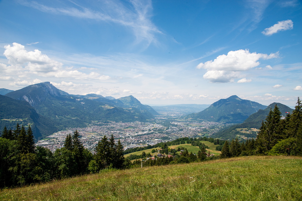
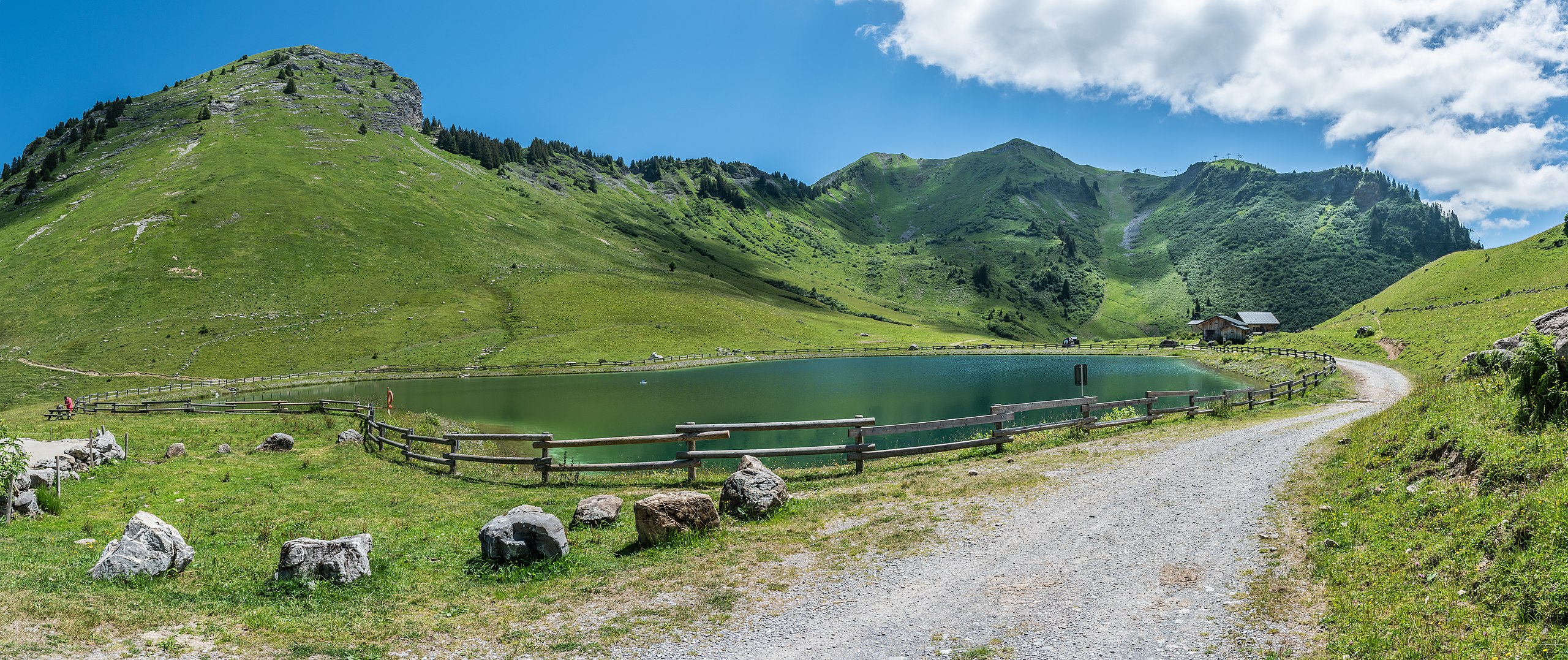
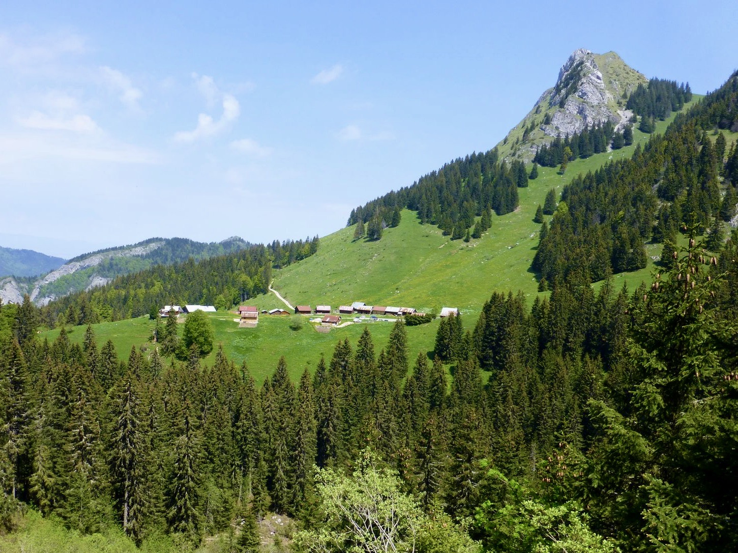
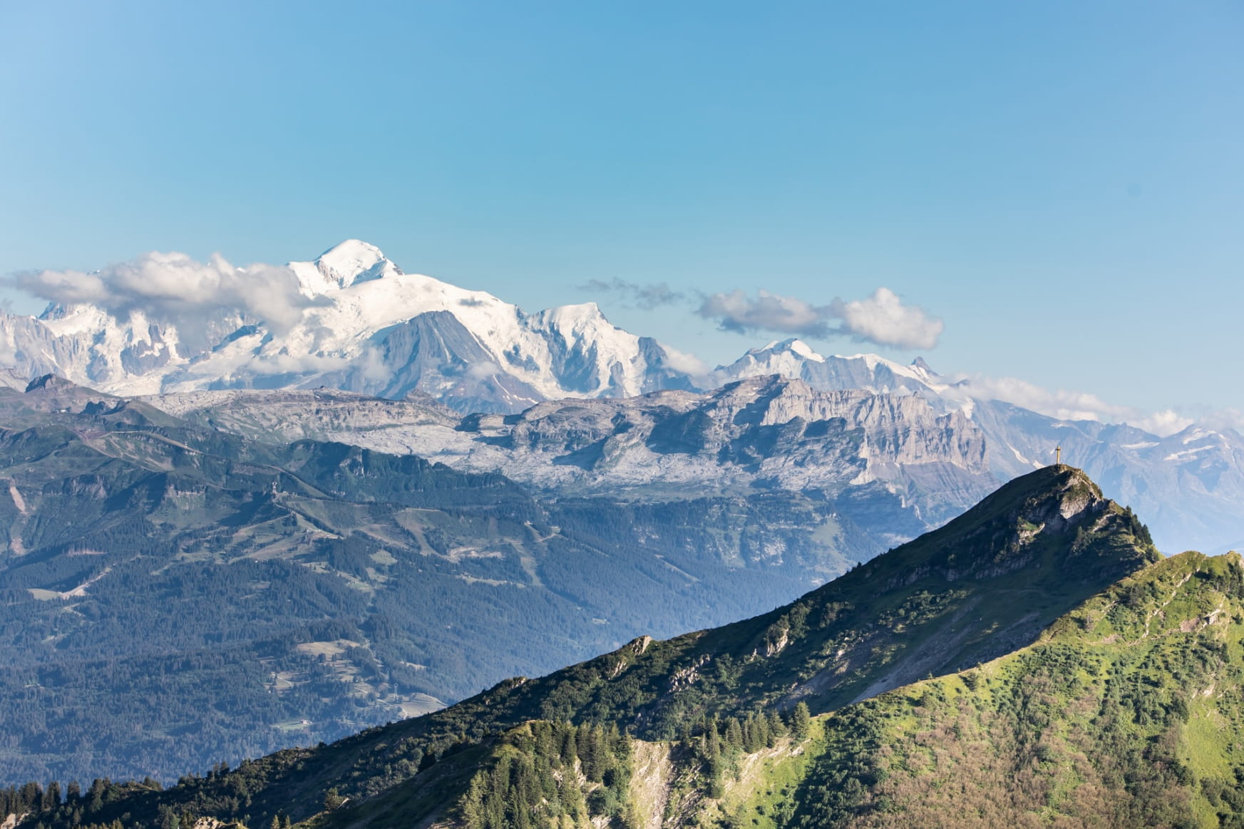
This loop passes by the Lac de Roy, the Frête de Pénaille, the Pointe de la Couennase to finally reach the Pointe de Marcelly. A 360° view of the mountain ranges: Aravis, Mont-Blanc and Dents du Midi. Breathtaking ! Be careful, some passages are aerial.

Already more than 200,000 users!
Uphill
742m
Highest point
1957m
Downhill
742m
Lowest point
1482m
Route type
Loop
Download the map on your smartphone to save battery and rest assured to always keep access to the route, even without signal.
Includes IGN France and Swisstopo.
Authorised on a leash
From May to October
1 rating
Also enjoy:

Already more than 200,000 users!