Uphill
540m
Length
7km
Duration
3h30min
Elev gain
540m
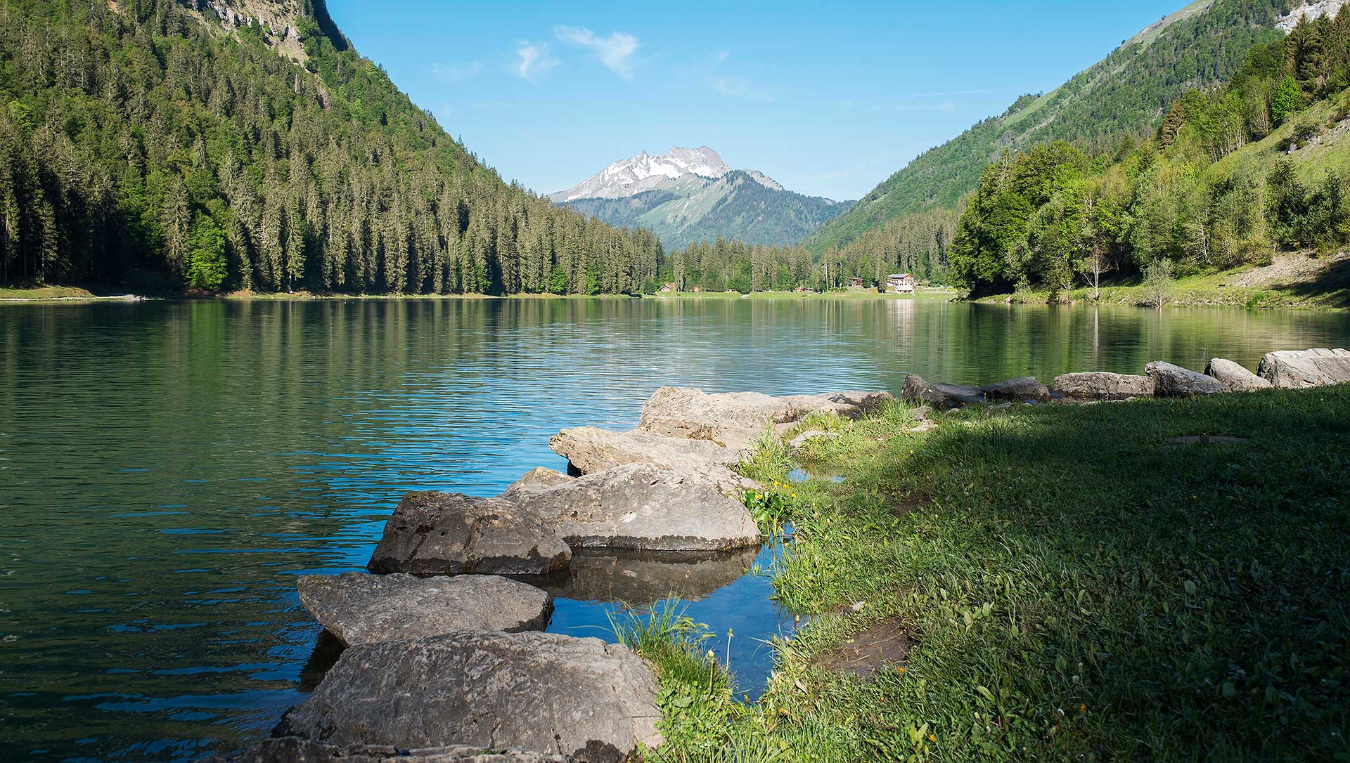
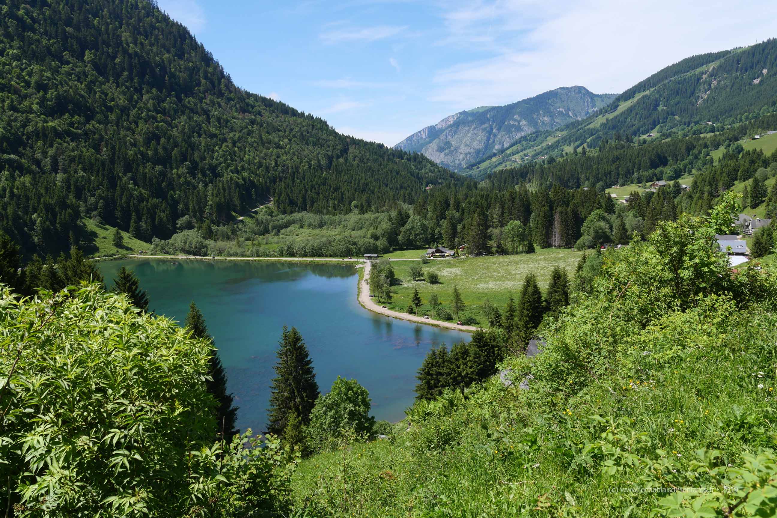
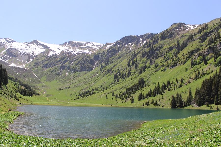
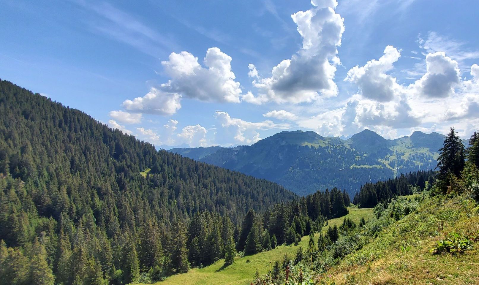
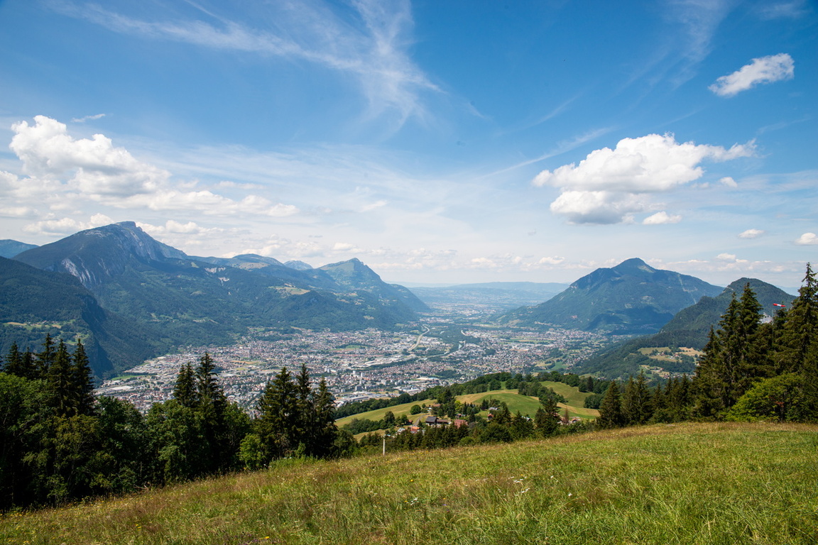
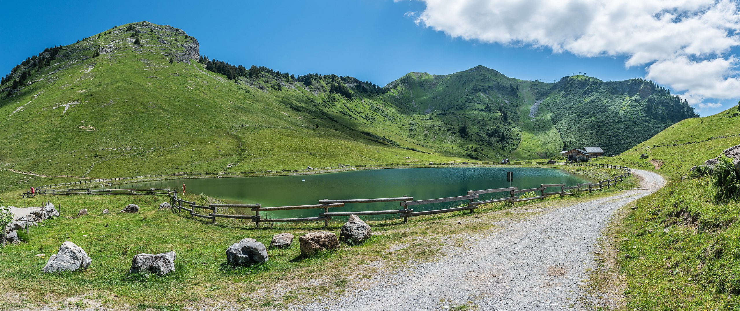
Pretty hike leading to the Pointe de Nyon (2,019 m) then to Lake Nyon-Guérin. The trail offers beautiful panoramic views of the peaks of Chablais and Mont-Blanc.

Already more than 200,000 users!
Uphill
540m
Highest point
1944m
Downhill
540m
Lowest point
1419m
Route type
Loop
Download the map on your smartphone to save battery and rest assured to always keep access to the route, even without signal.
Includes IGN France and Swisstopo.
I indicate whether dogs are allowed or prohibited on this trail
From May to October
1 rating
Also enjoy:

Already more than 200,000 users!