Uphill
53m
Length
3km
Duration
1h
Elev gain
53m
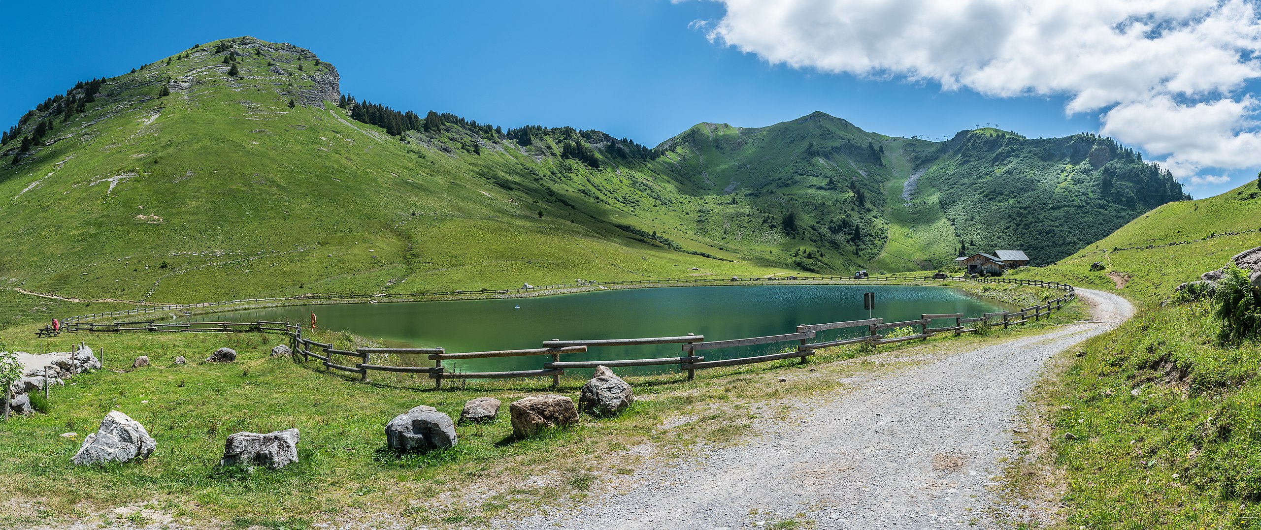
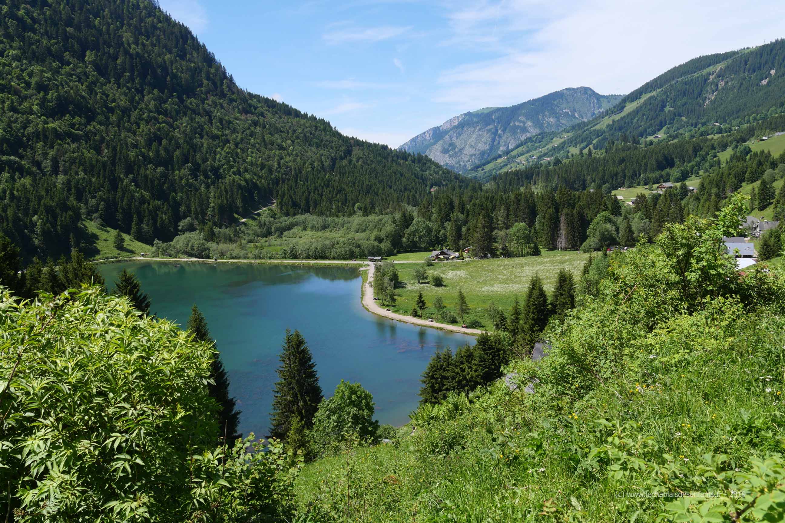
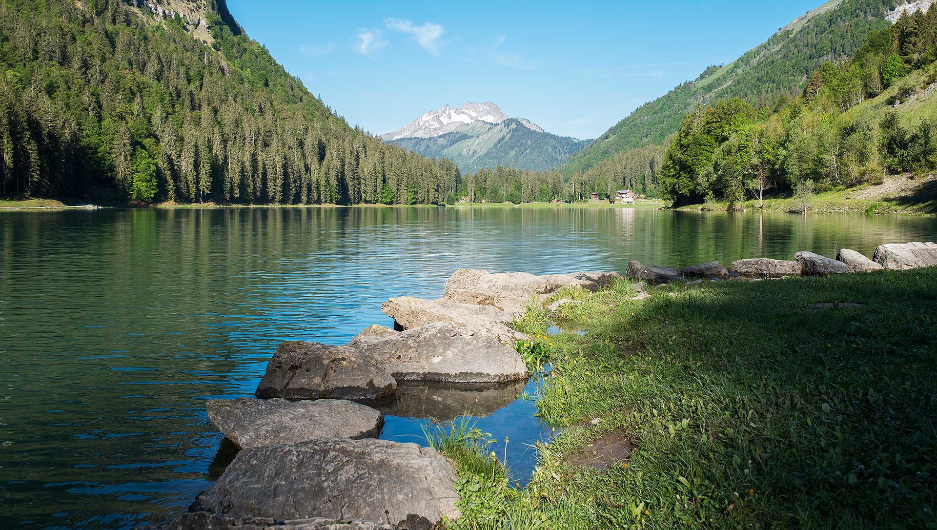
Easy walk and mainly in the forest around the beautiful lake of Montriond. Ideal outing for a picnic, with a specially equipped area.

Already more than 200,000 users!
Uphill
53m
Highest point
1105m
Downhill
53m
Lowest point
1062m
Route type
Loop
Download the map on your smartphone to save battery and rest assured to always keep access to the route, even without signal.
Includes IGN France and Swisstopo.
Authorised on a leash
Can be difficult in Winter
0 ratings
Also enjoy:

Already more than 200,000 users!