Uphill
333m
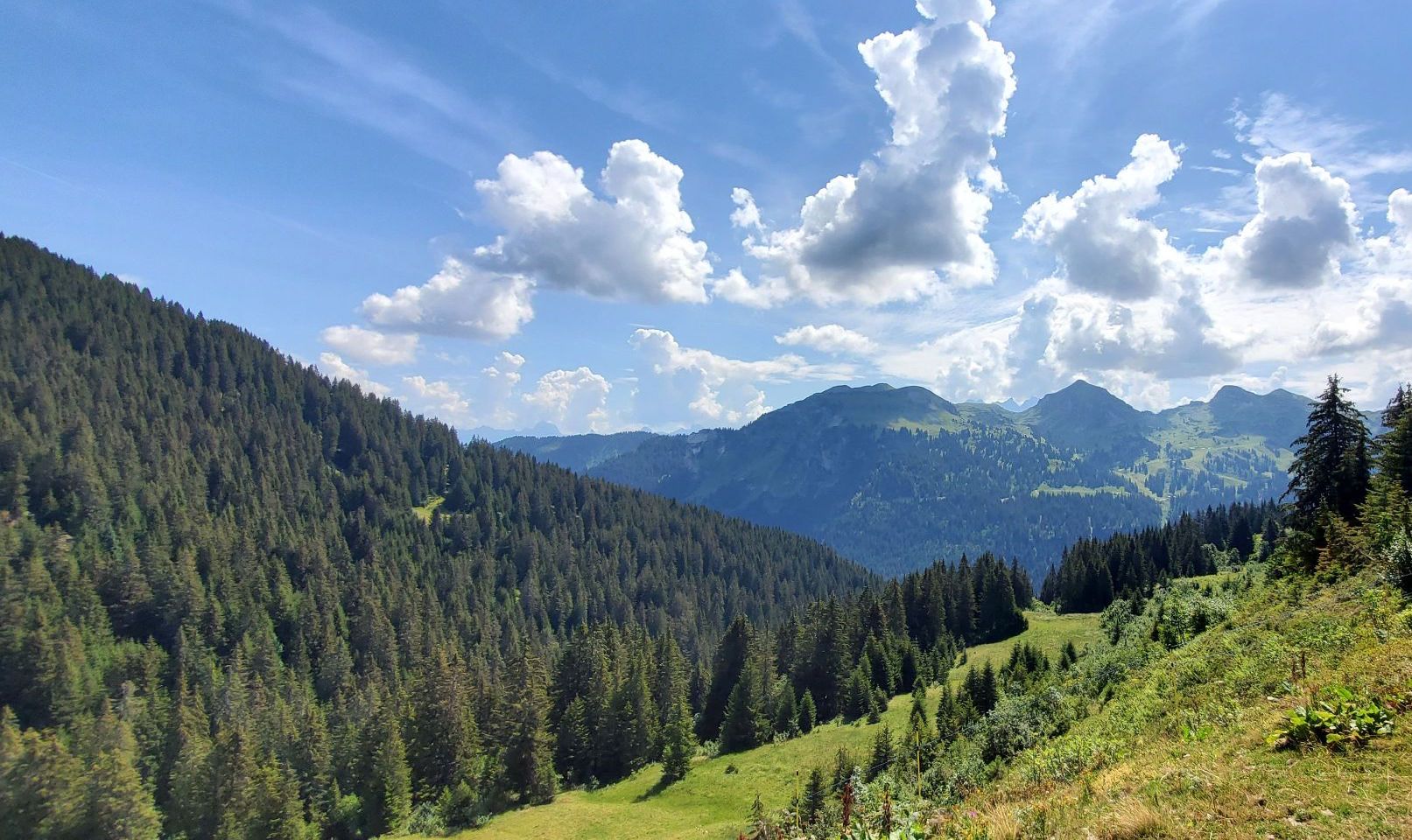
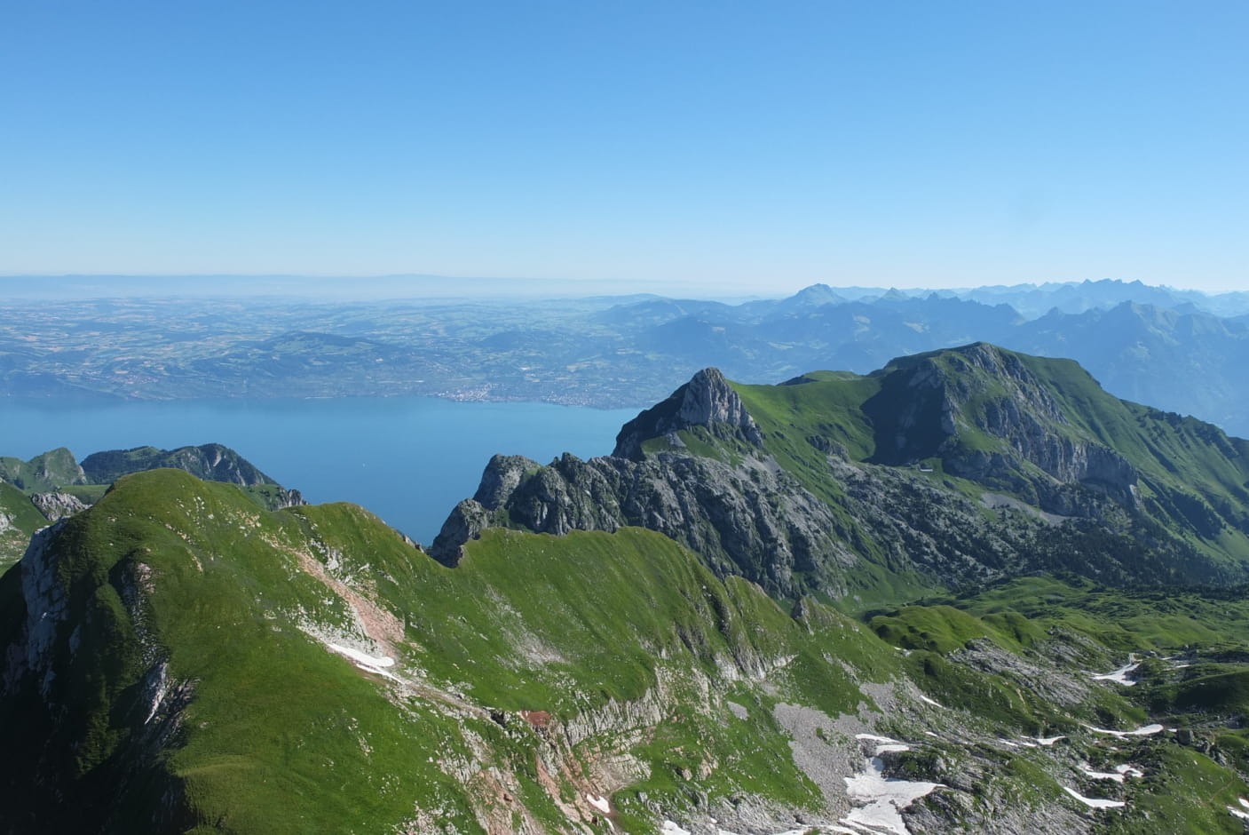
France > Auvergne-Rhône-Alpes > Haute-Savoie
Length
5km
Duration
2h30min
Elev gain
333m
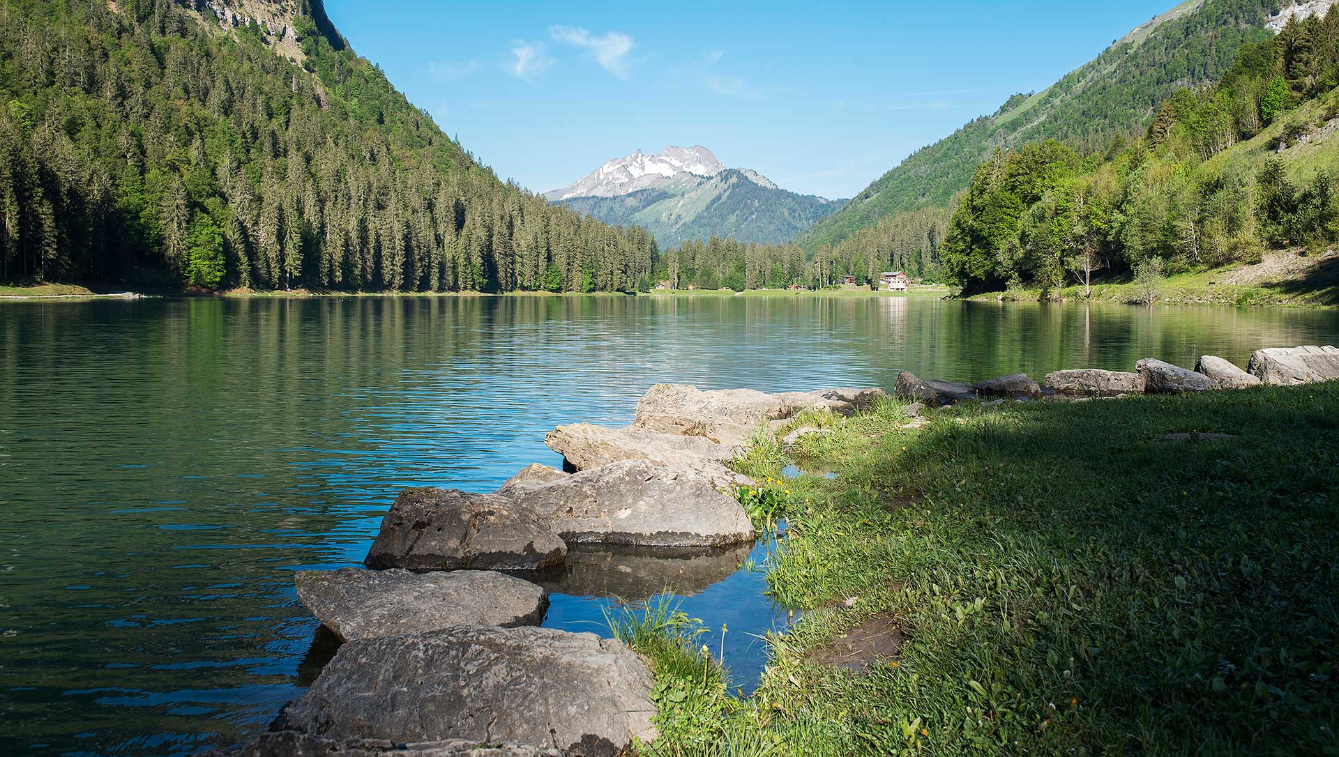
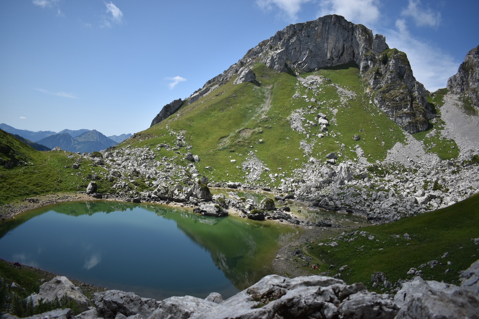
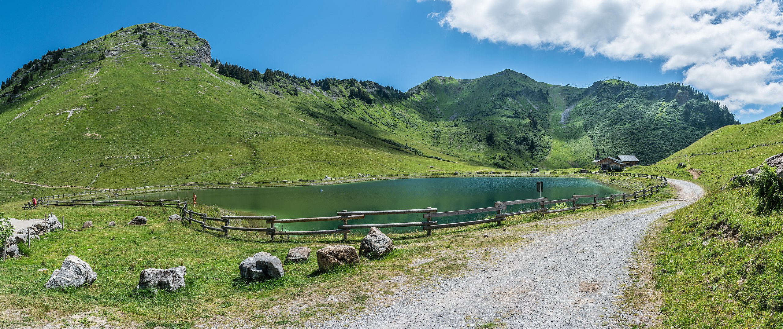
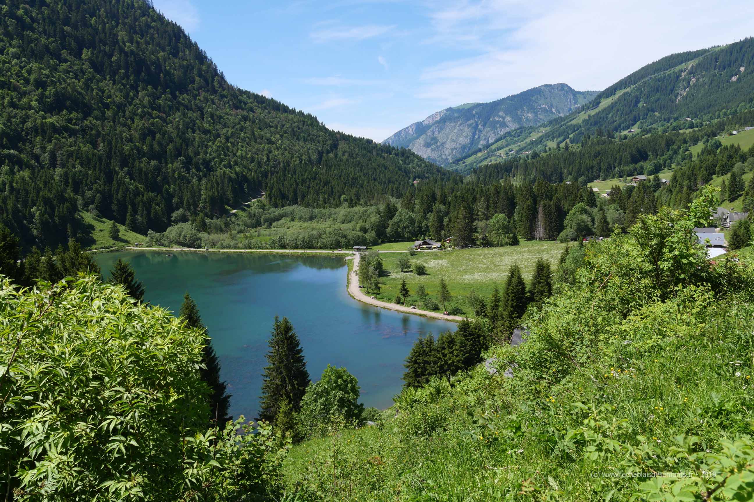
Pretty hike that runs along the Lac des Plagnes, then leads to the Tinderets refuge via a torrent, a waterfall and mountain pastures.

Already more than 200,000 users!
Uphill
333m
Highest point
1487m
Downhill
333m
Lowest point
1175m
Route type
There and back
Download the map on your smartphone to save battery and rest assured to always keep access to the route, even without signal.
Includes IGN France and Swisstopo.
I indicate whether dogs are allowed or prohibited on this trail
Can be difficult in Winter
2 ratings
Super rando ! Nous avons juste fait le tour entier du lac avant d’attaquer la partie qui mène au refuge, c’est malgré tout assez escarpé par endroit, cette rando ne conviendra pas à tout le monde. Mais mon fils de 5 ans a adoré !
Also enjoy:

Already more than 200,000 users!