Uphill
995m
Length
10km
Duration
6h30min
Elev gain
995m
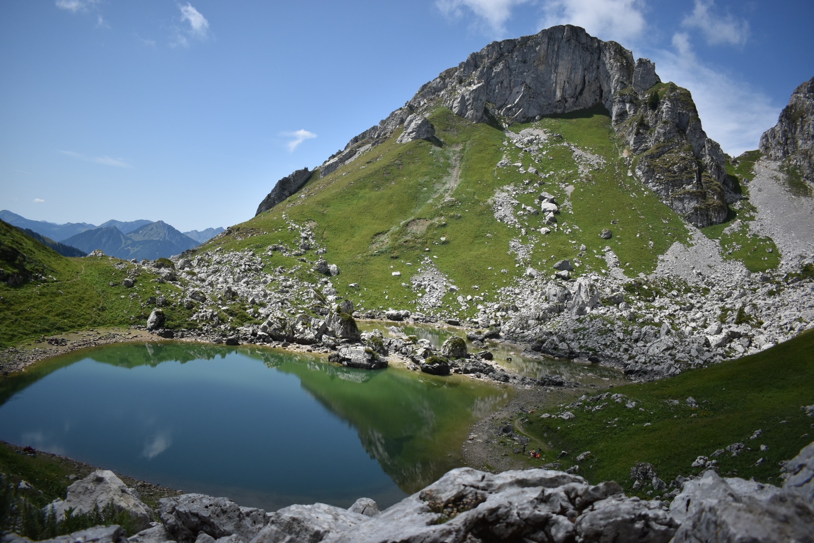
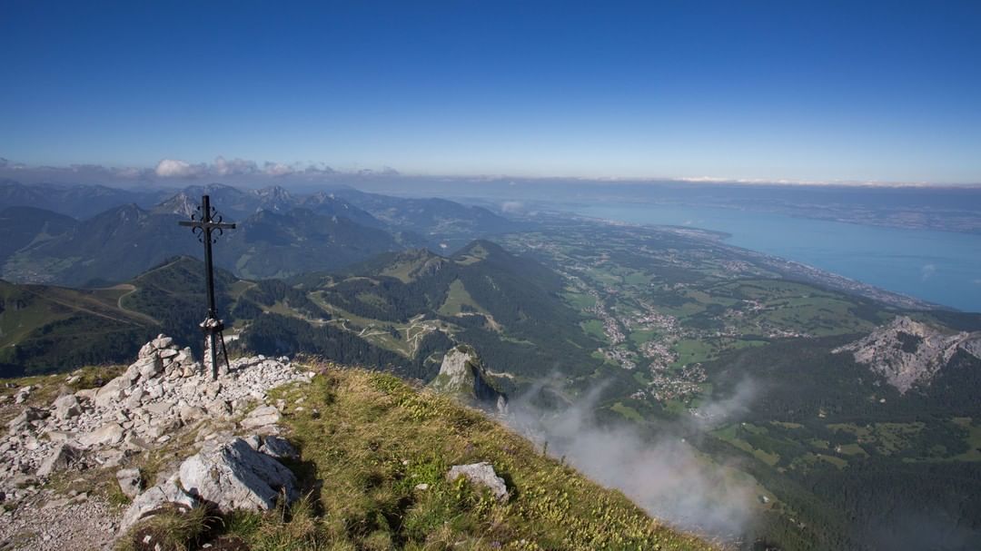
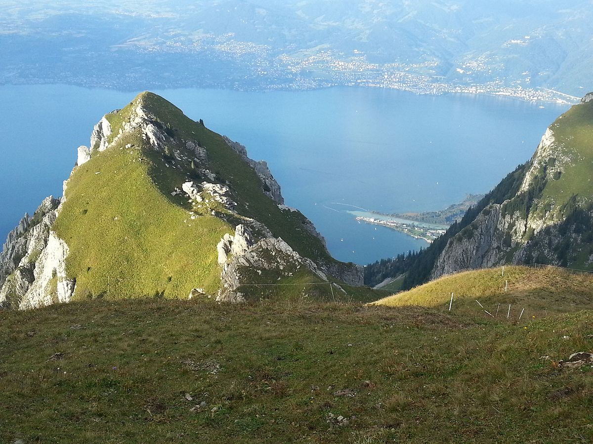
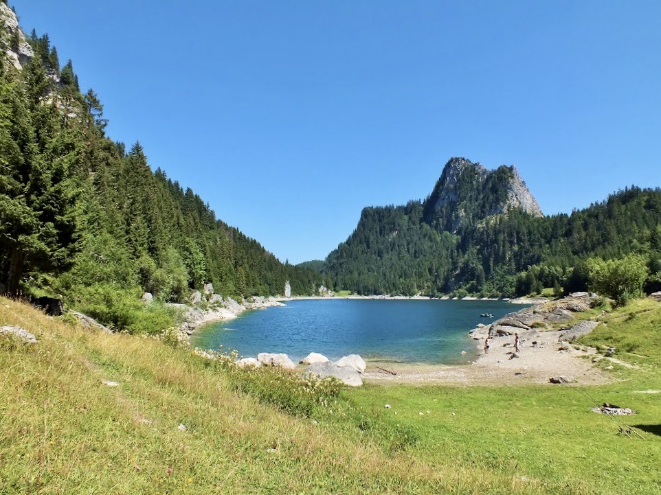
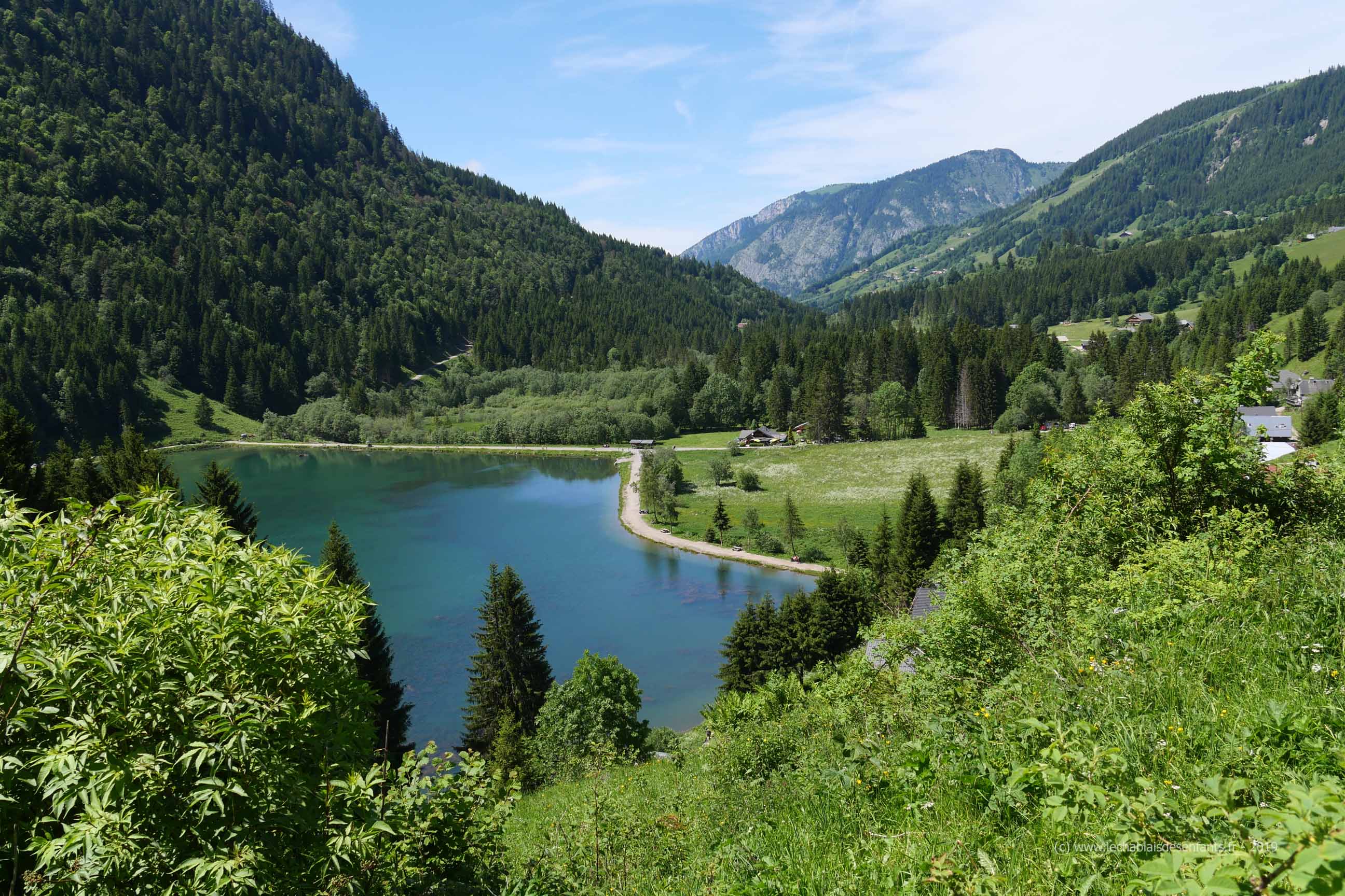
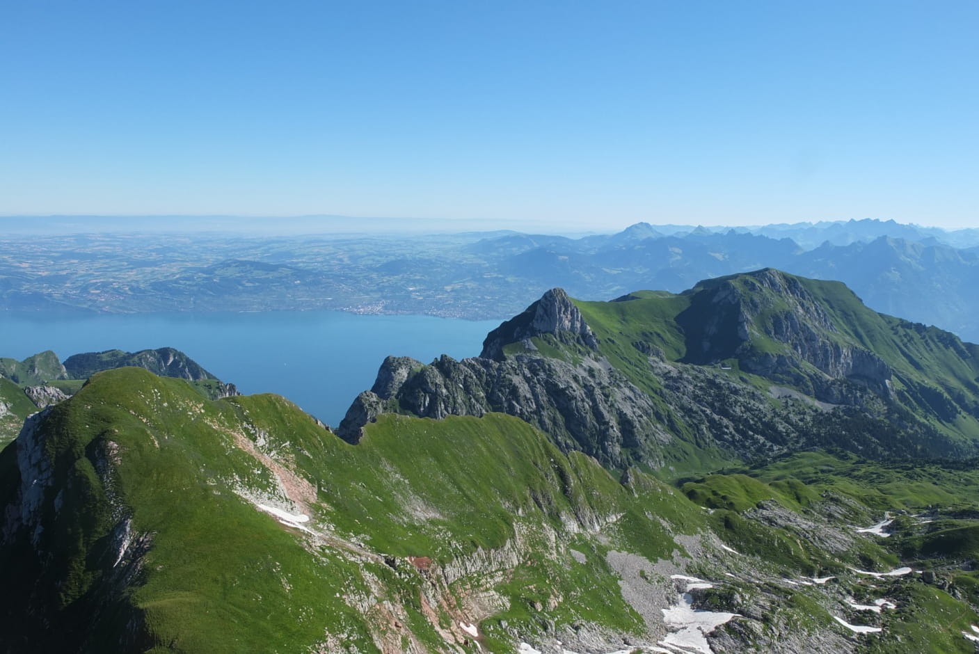
Superb hike between Pays de Savoie and Switzerland, revealing grandiose landscapes with Lake Geneva in the background.
The ascent is demanding and technical with aerial passages. It might be better to avoid this trail if you are prone to vertigo.

Already more than 200,000 users!
Uphill
995m
Highest point
2392m
Downhill
995m
Lowest point
1508m
Route type
Loop
Download the map on your smartphone to save battery and rest assured to always keep access to the route, even without signal.
Includes IGN France and Swisstopo.
I indicate whether dogs are allowed or prohibited on this trail
From May to September
0 ratings
Also enjoy:

Already more than 200,000 users!