Uphill
428m
Length
7km
Duration
3h
Elev gain
428m
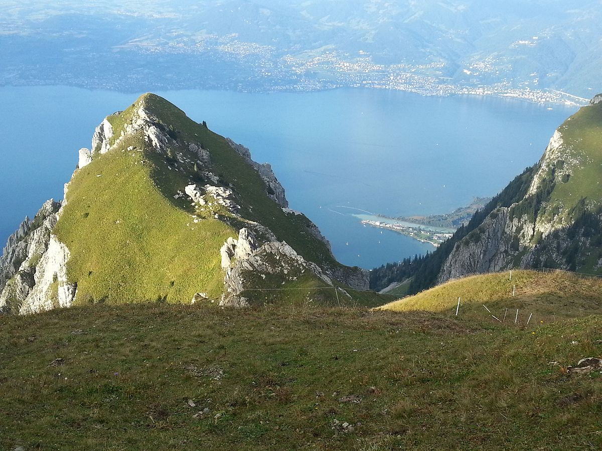
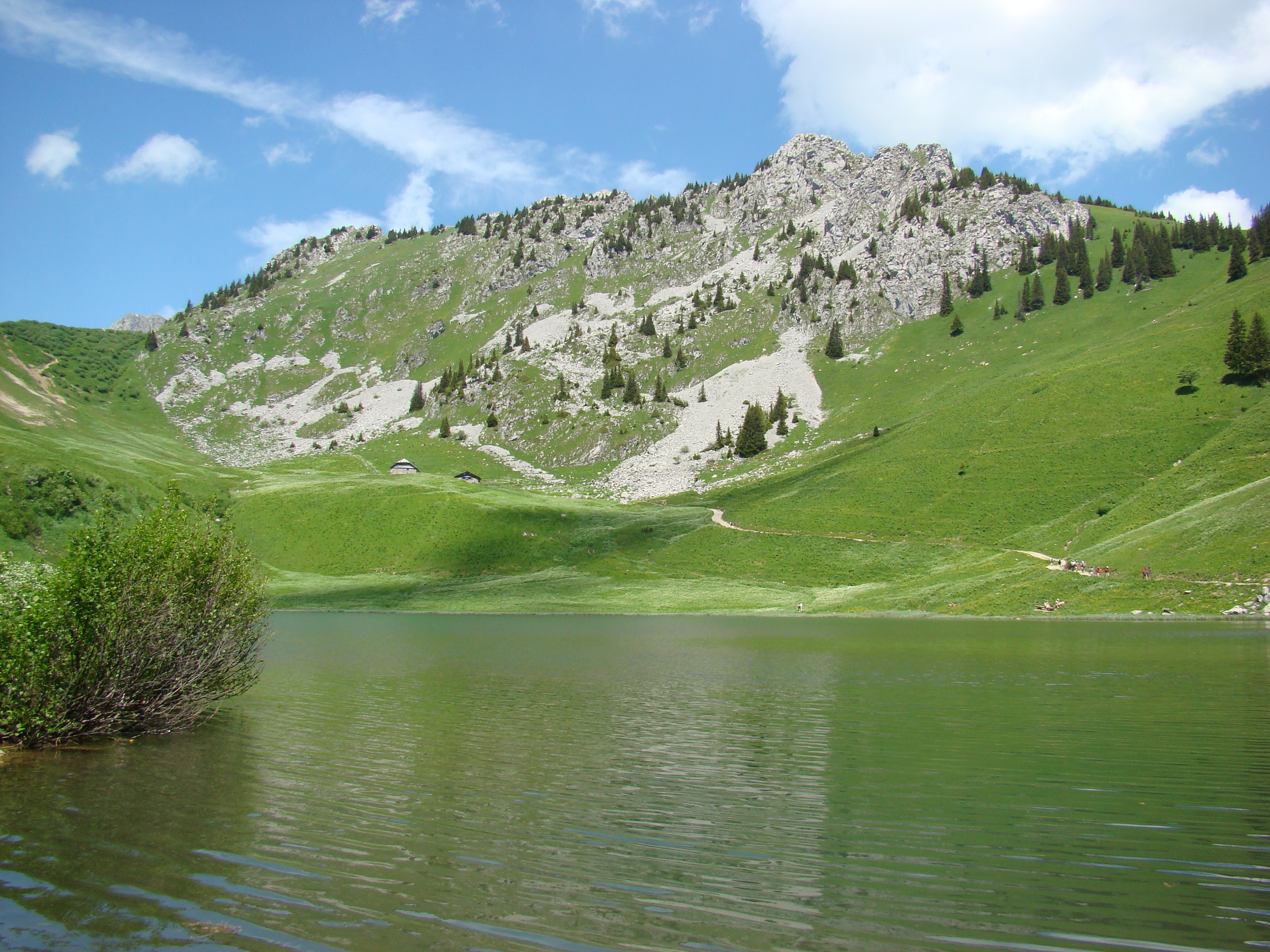
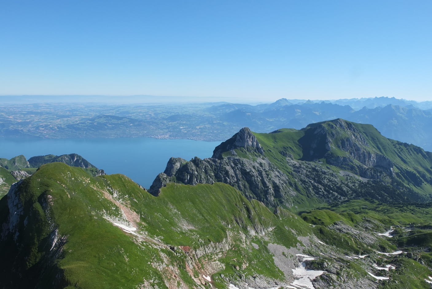
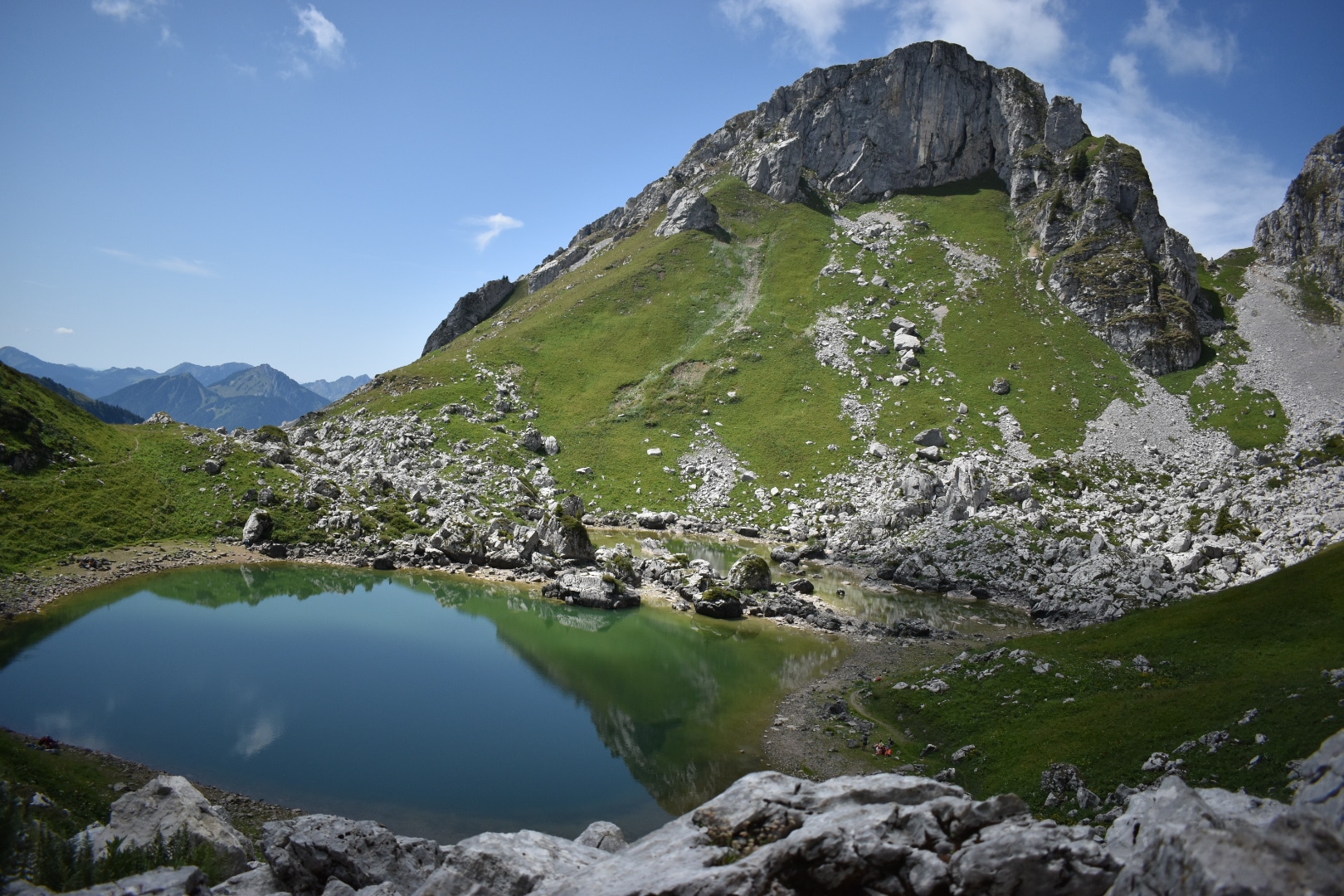
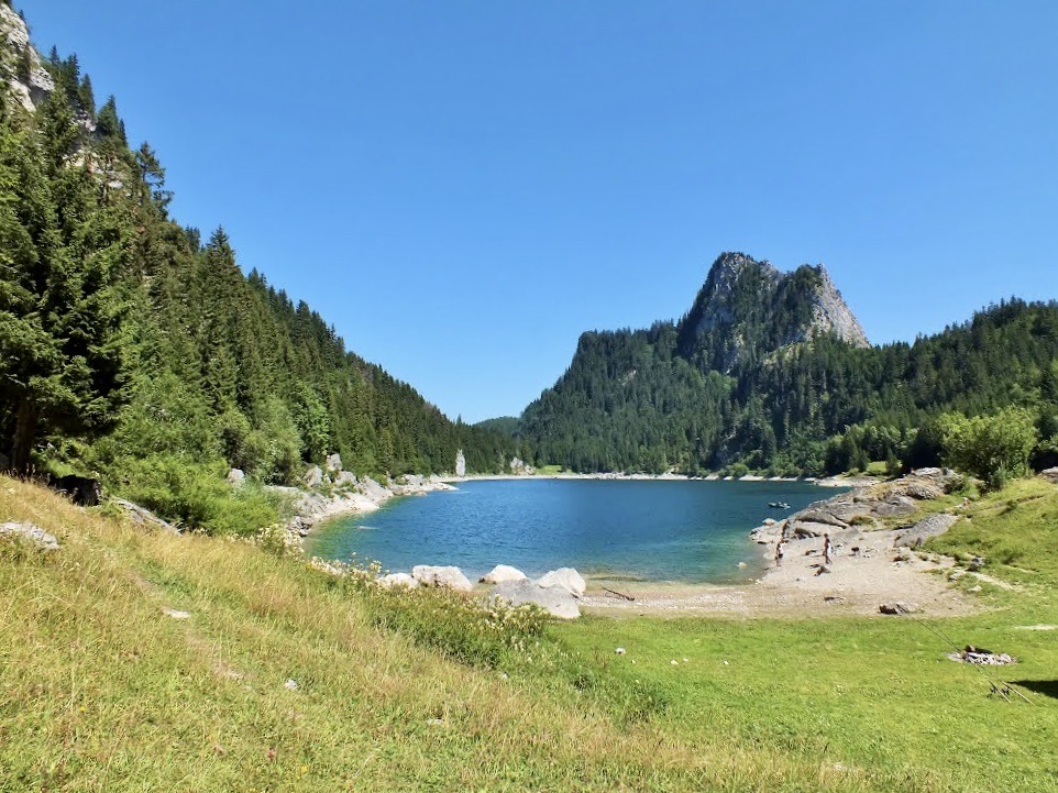
Hike around a pretty alpine lake, surrounded by rugged terrain, forests and wild flowers. Swimming is possible for the brave that don't fear cold.

Already more than 200,000 users!
Uphill
428m
Highest point
1458m
Downhill
428m
Lowest point
1088m
Route type
Loop
Download the map on your smartphone to save battery and rest assured to always keep access to the route, even without signal.
Includes IGN France and Swisstopo.
I indicate whether dogs are allowed or prohibited on this trail
Can be difficult in Winter
3 ratings
Also enjoy:

Already more than 200,000 users!