Uphill
1173m
Length
12km
Duration
8h
Elev gain
1173m
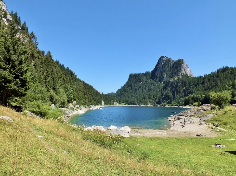
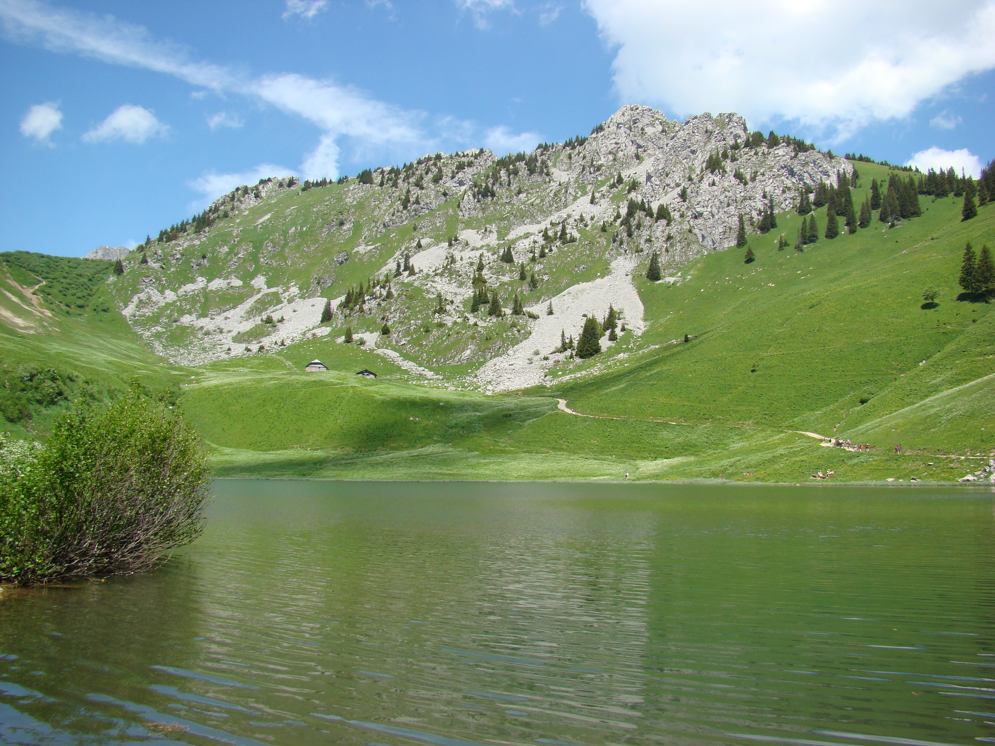
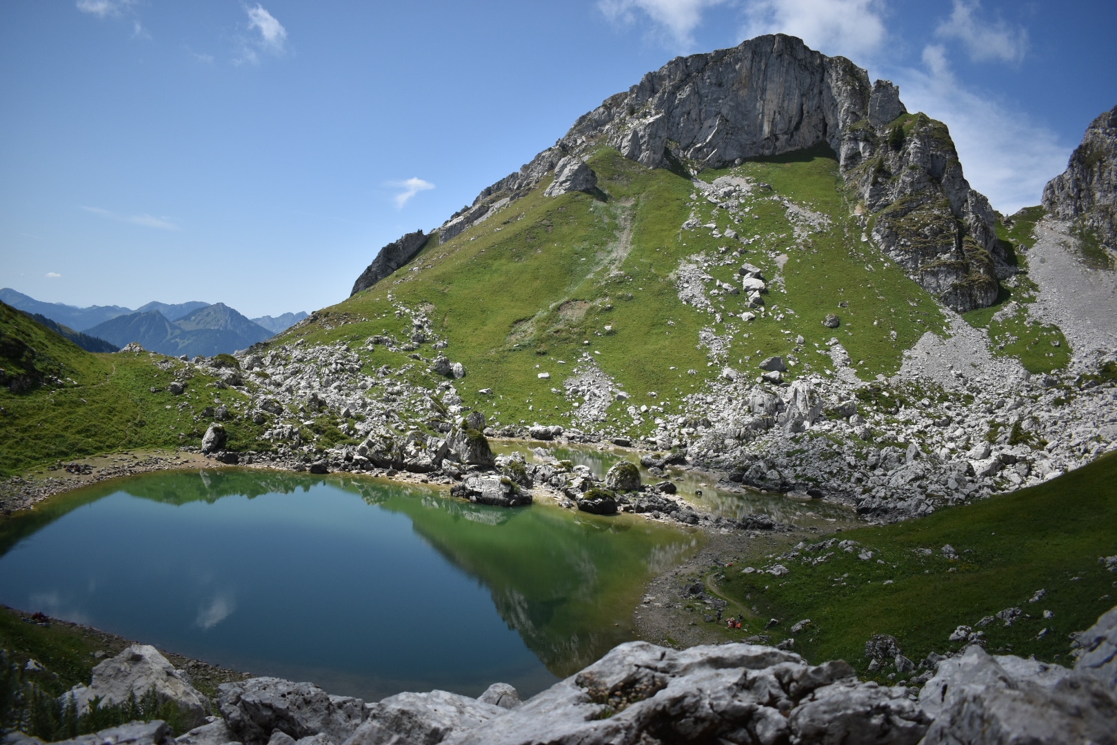
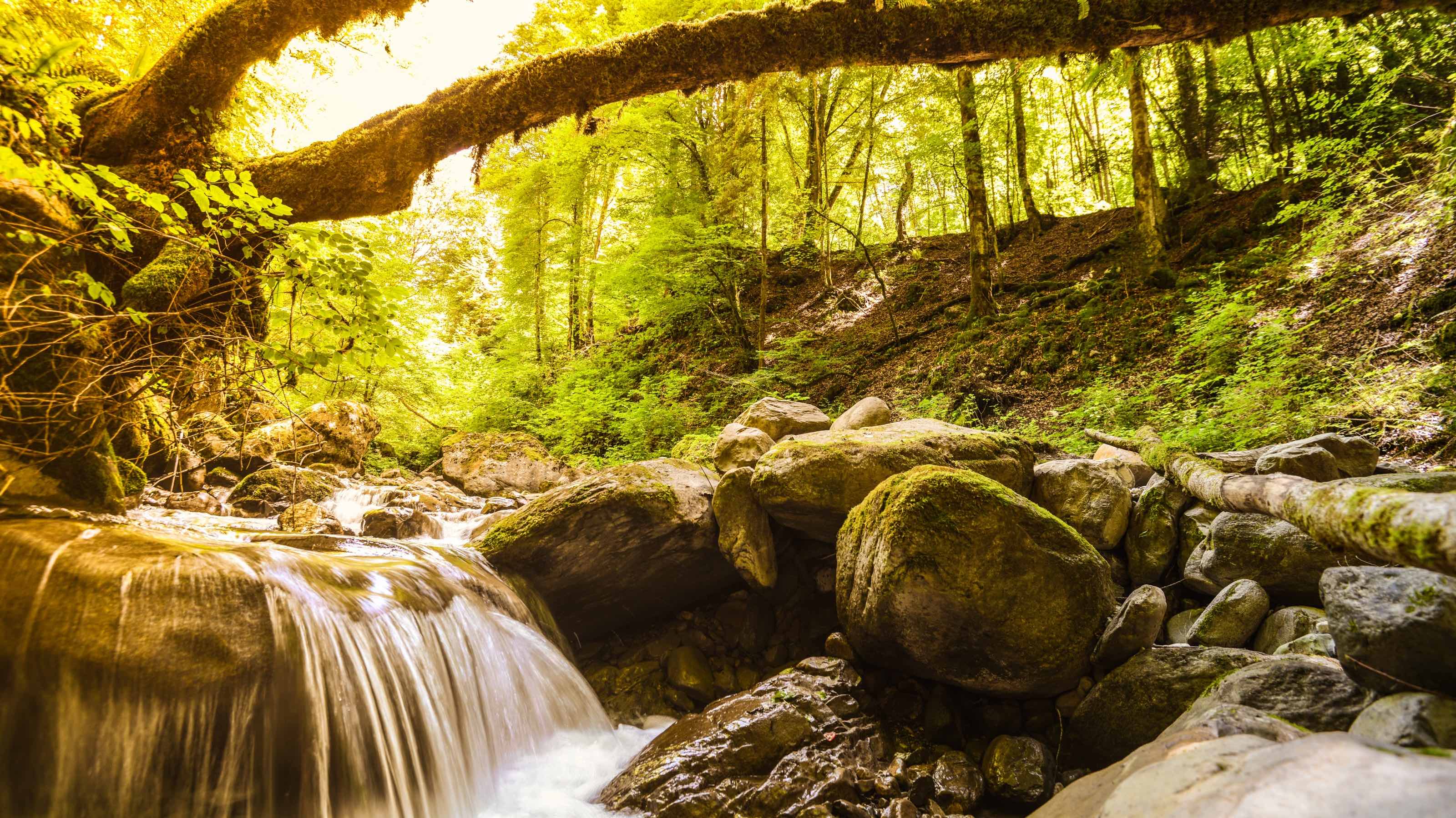
Long but magnificent hike to attack the Grammont, located at 2,172 meters above sea level. The start of the route is steep and steep until you reach Lake Tanay, a very pretty high-altitude lake. After a short break, it is necessary to resume in the direction of Grammont on a slightly less steep path but which can sometimes prove to be a little technical.
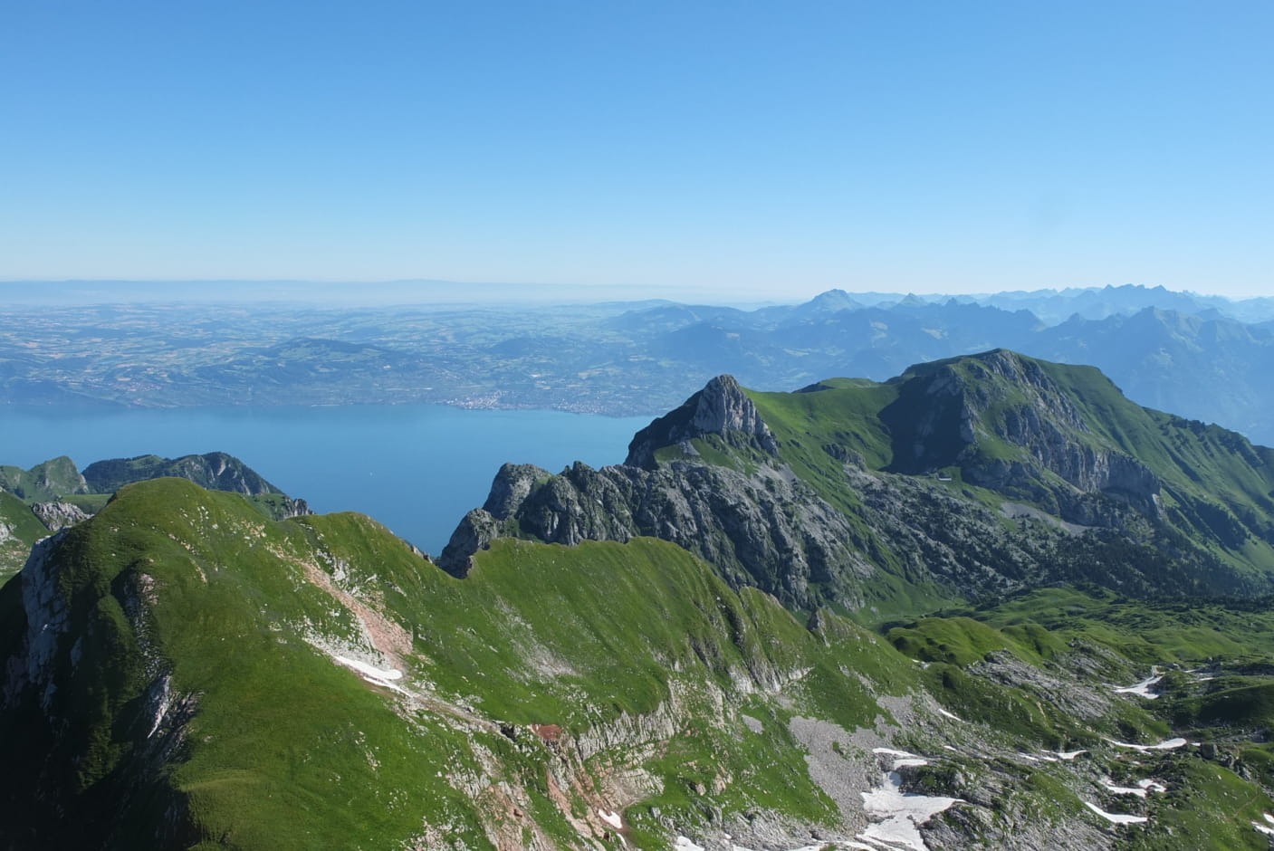
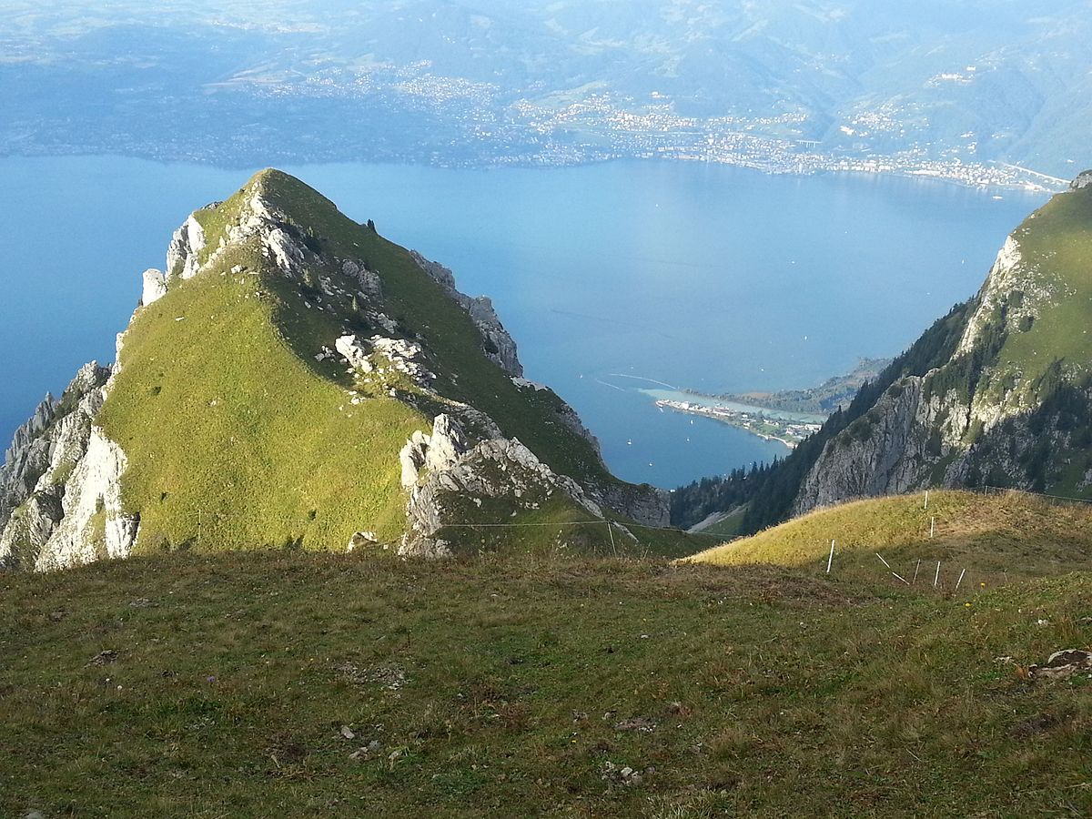
At the top, the view of Lake Geneva and the surrounding mountains is breathtaking. You then have to go down what you have climbed, but this time, with the view in addition, which makes the descent somewhat easier.

Already more than 200,000 users!
Uphill
1173m
Highest point
2153m
Downhill
1173m
Lowest point
1092m
Route type
There and back
Download the map on your smartphone to save battery and rest assured to always keep access to the route, even without signal.
Includes IGN France and Swisstopo.
I indicate whether dogs are allowed or prohibited on this trail
From May to September
4 ratings
Also enjoy:

Already more than 200,000 users!