Uphill
933m
Length
11km
Duration
6h30min
Elev gain
933m
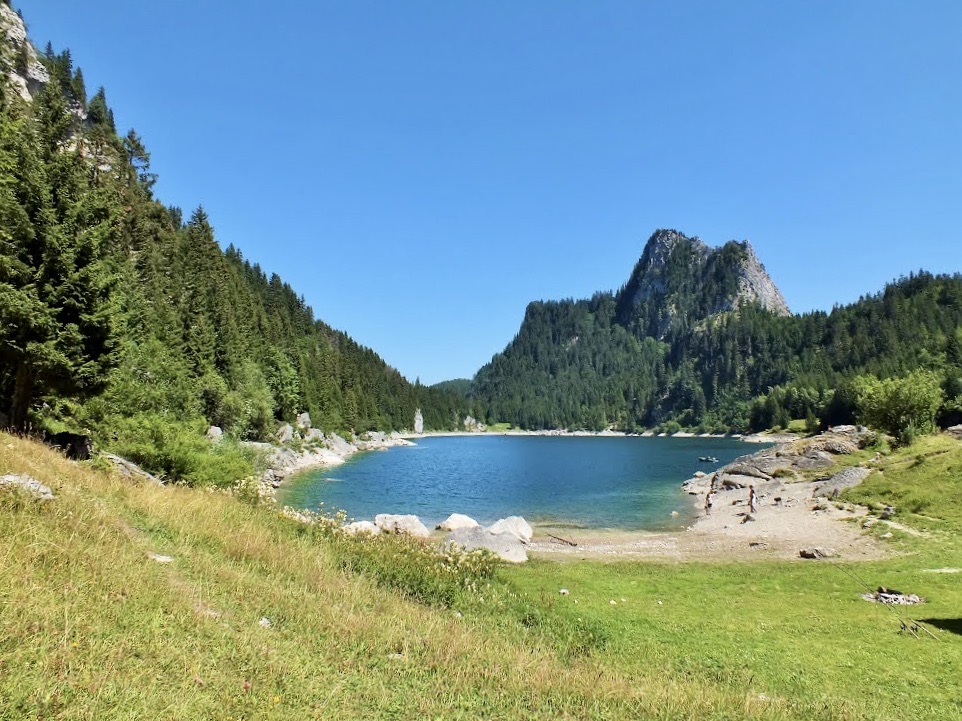
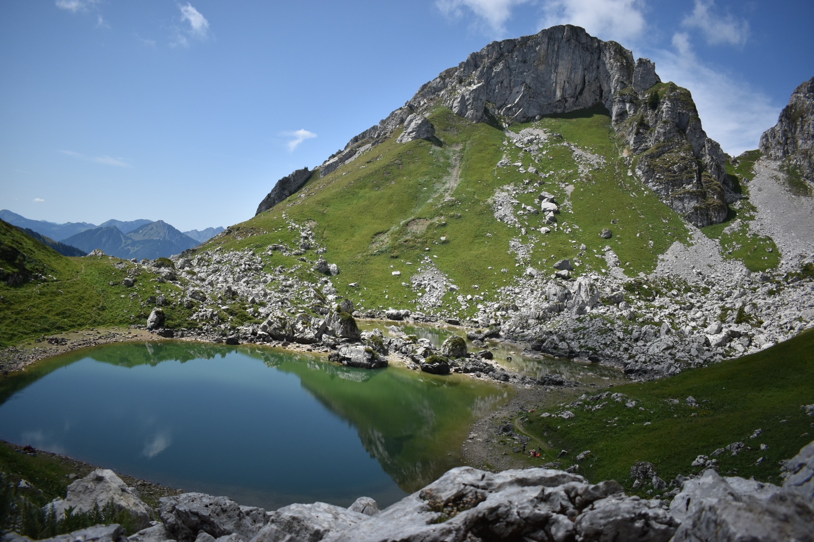
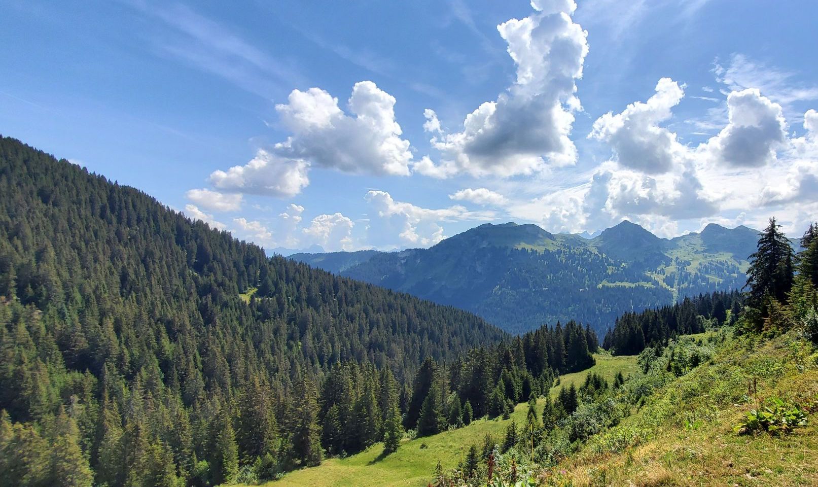
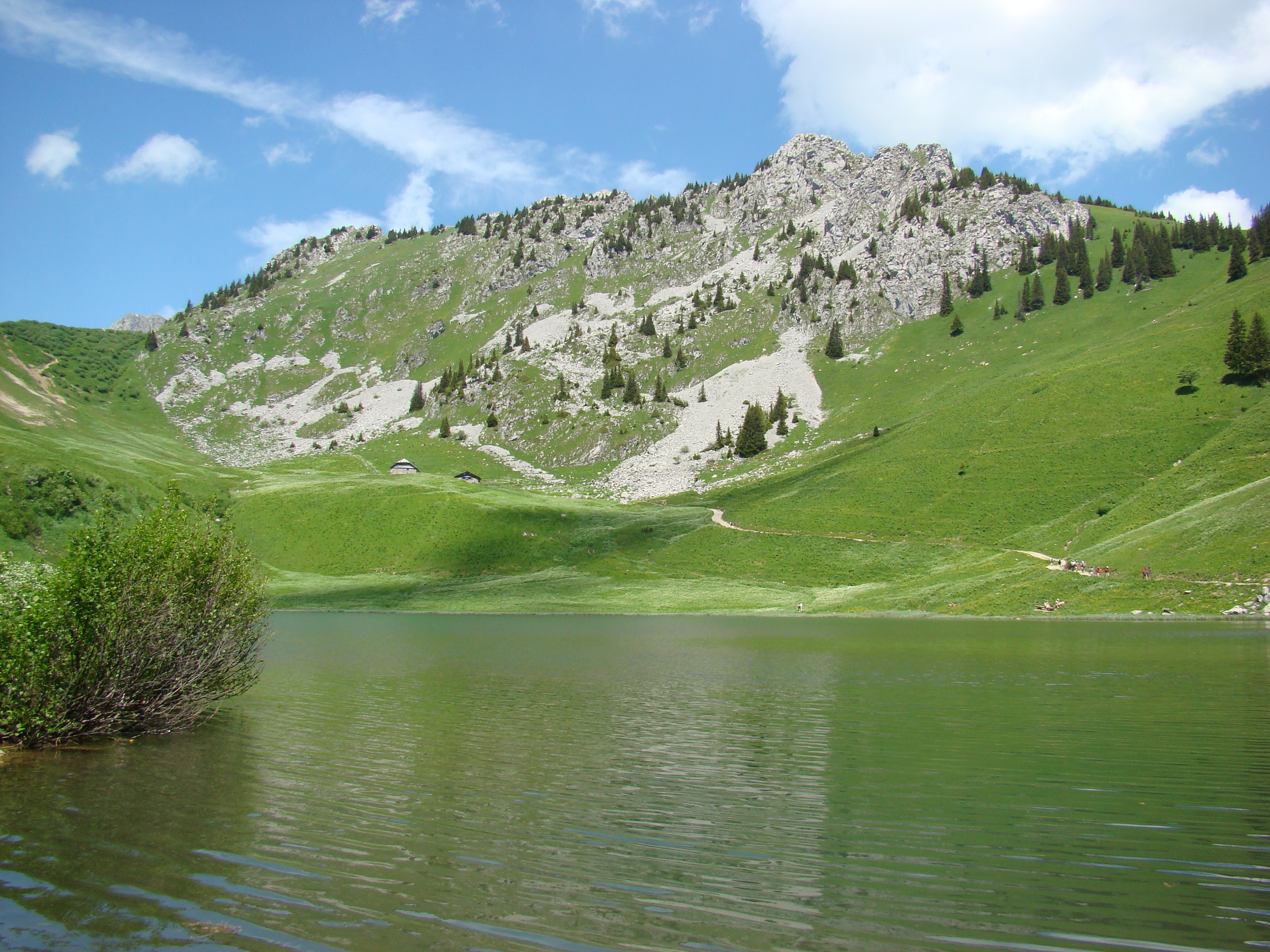
Here is a long and pretty hike that leaves to discover the lake of Arvouin. The route makes a loop in grandiose natural landscapes, but borrows paths which can sometimes prove steep and slippery. Caution required in rainy weather.

Already more than 200,000 users!
Uphill
933m
Highest point
1904m
Downhill
933m
Lowest point
1197m
Route type
Loop
Download the map on your smartphone to save battery and rest assured to always keep access to the route, even without signal.
Includes IGN France and Swisstopo.
I indicate whether dogs are allowed or prohibited on this trail
From May to October
0 ratings
Also enjoy:

Already more than 200,000 users!