Uphill
515m
Length
4km
Duration
2h
Elev gain
515m
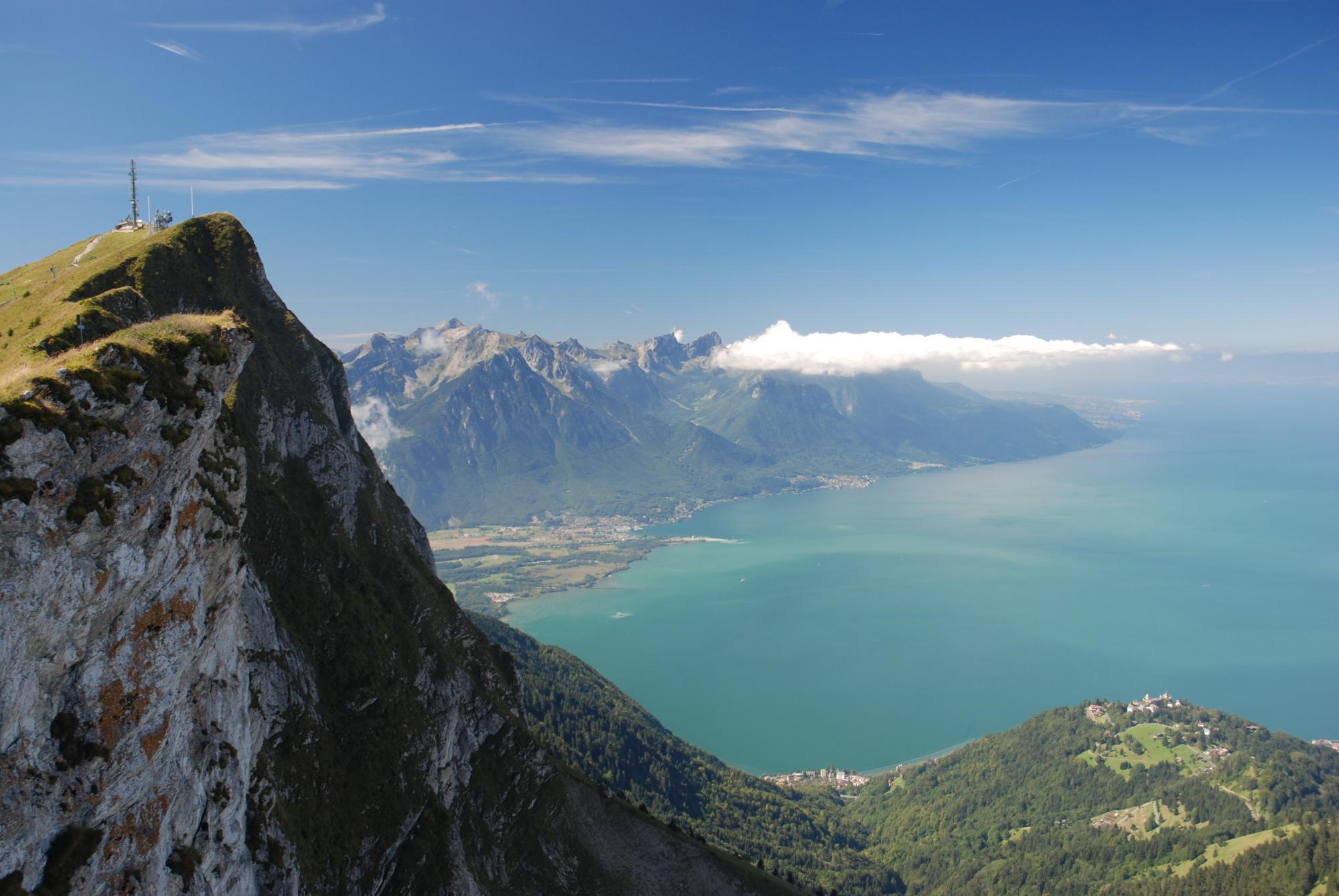
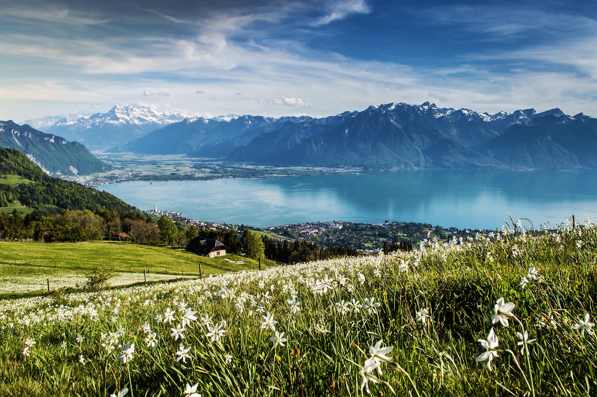
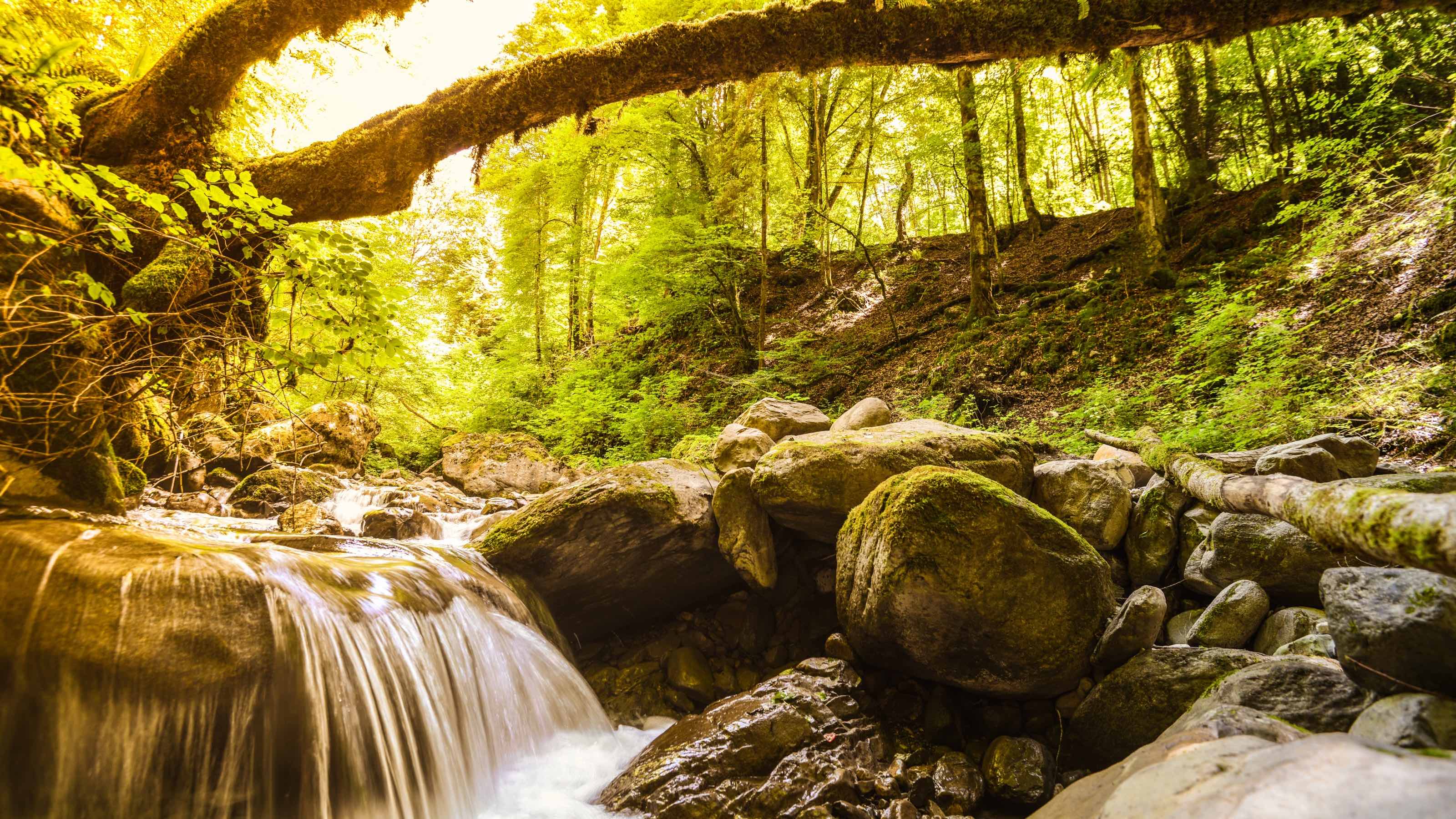
A few steps away from the center of Montreux, this trail takes you along the "Baye de Montreux" river up to Les Avants. Wild nature and a waterfall make it a pretty walk.

Already more than 200,000 users!
Uphill
515m
Highest point
974m
Downhill
7m
Lowest point
448m
Route type
One way
Download the map on your smartphone to save battery and rest assured to always keep access to the route, even without signal.
Includes IGN France and Swisstopo.
West end: Les Planches or Montreux train stations.
East end: Les Avants train station.
I indicate whether dogs are allowed or prohibited on this trail
Can be difficult in Winter
3 ratings
Also enjoy:

Already more than 200,000 users!