Uphill
878m
Length
11km
Duration
6h
Elev gain
878m
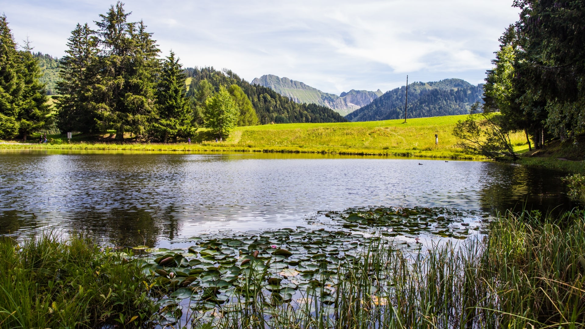
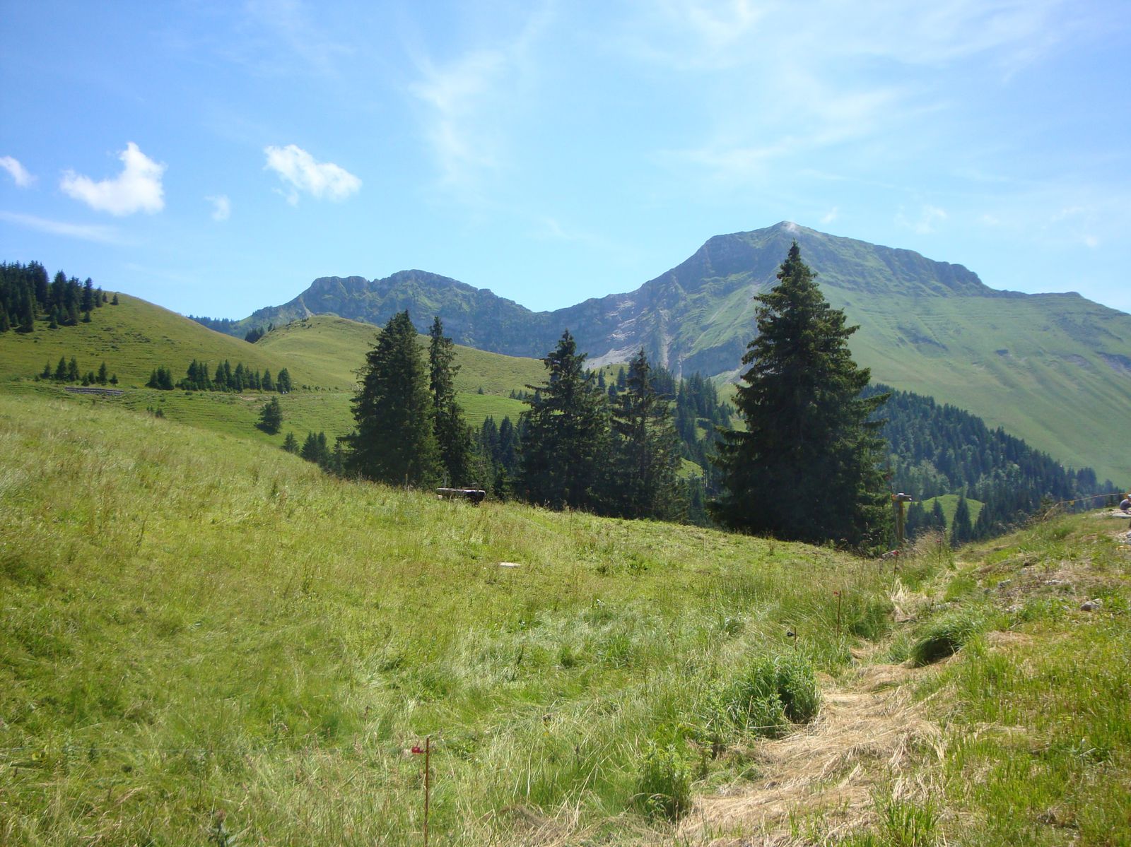
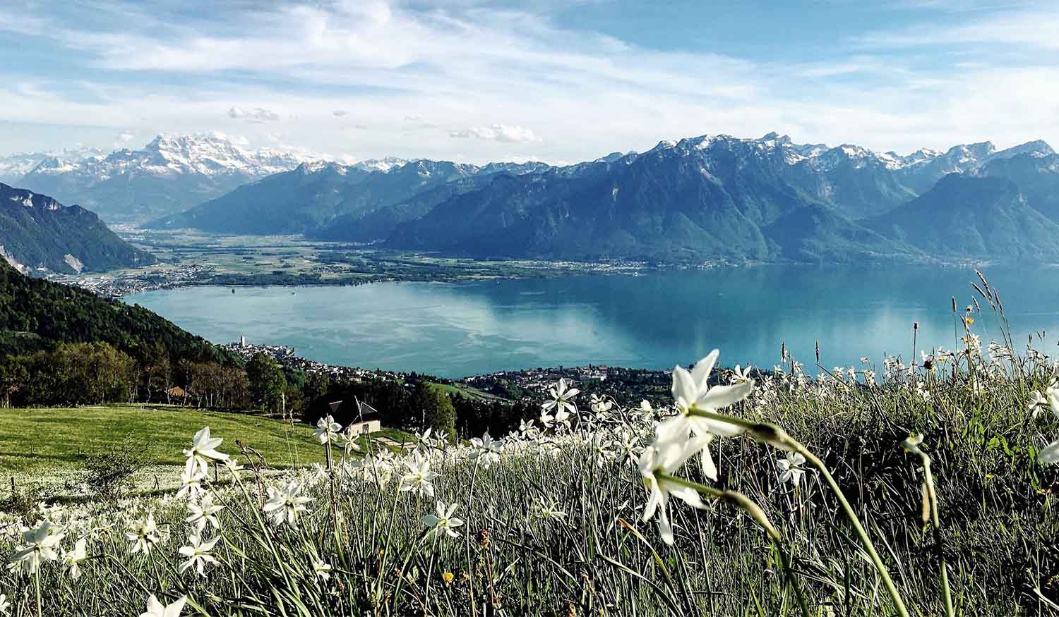
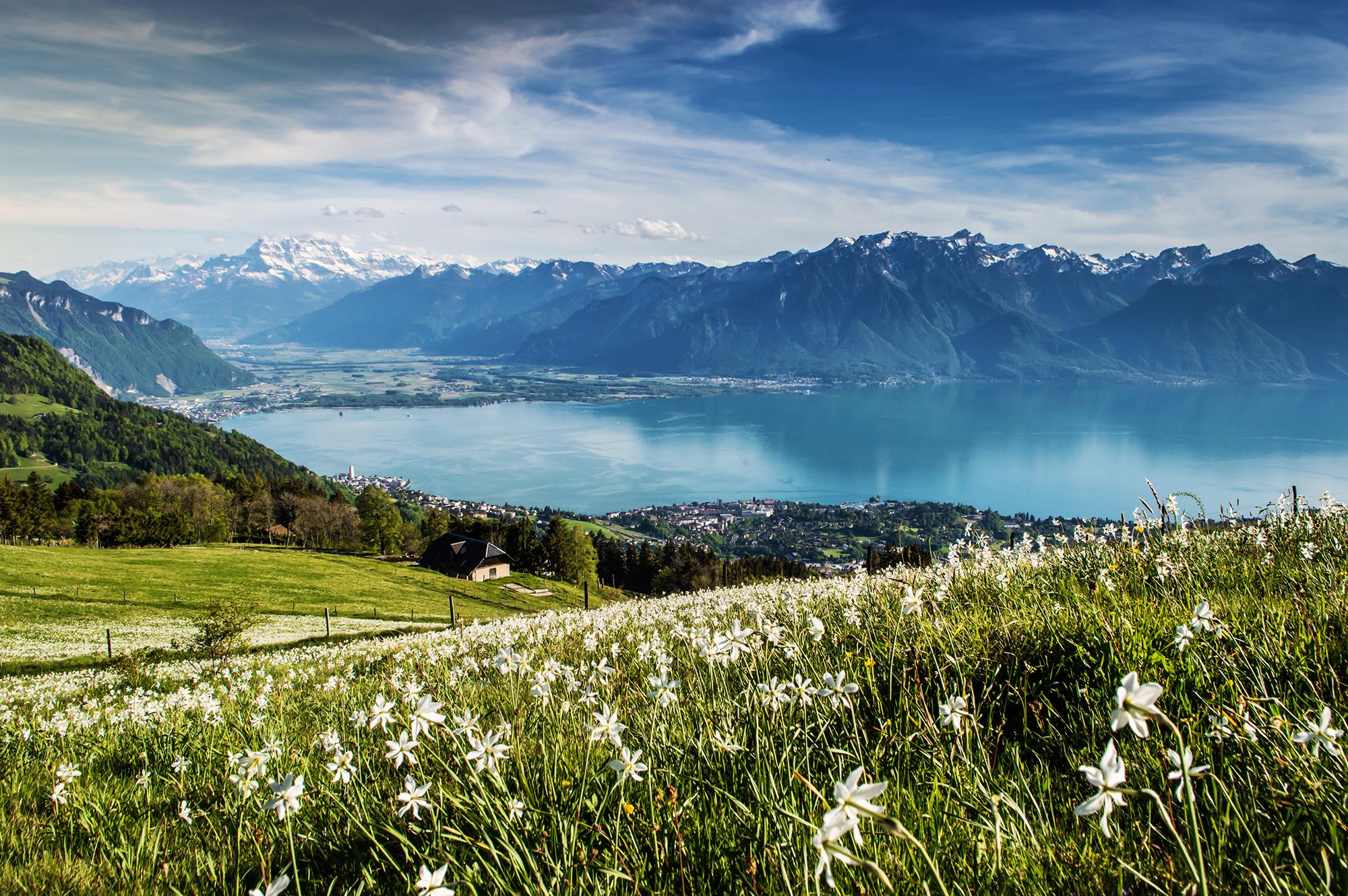
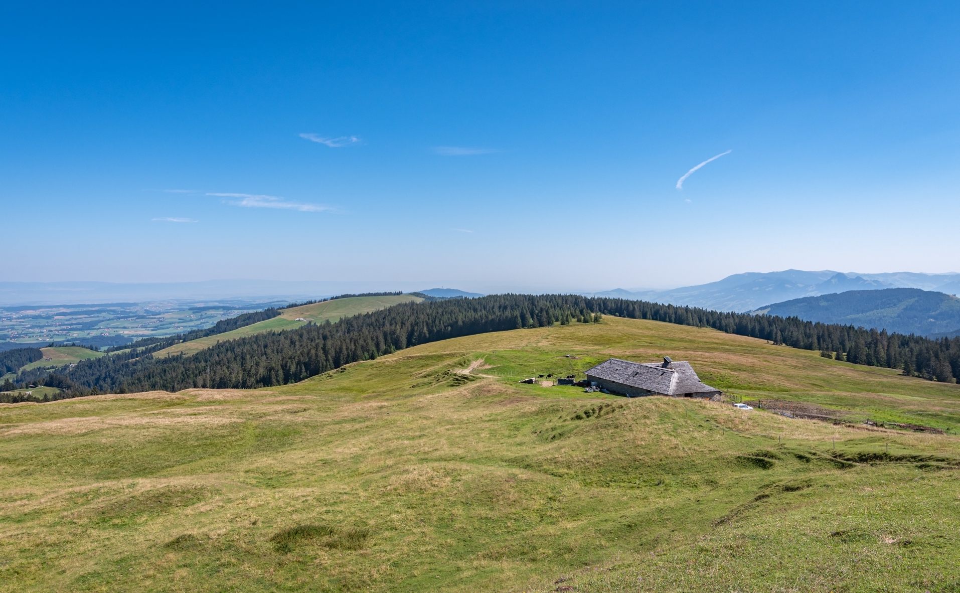
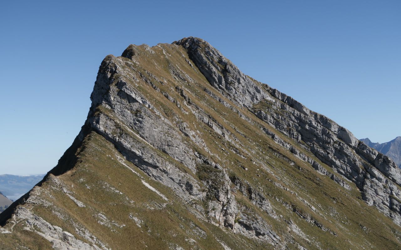
Departing from Les Joncs, this round trip climbs up to the Dent de Lys, located at an altitude of more than 2,000 meters, passing through Mys Derrey (1,864m). Once at the top, the view of the Friboug and Paccots region is simply splendid.

Already more than 200,000 users!
Uphill
878m
Highest point
1984m
Downhill
878m
Lowest point
1201m
Route type
There and back
Download the map on your smartphone to save battery and rest assured to always keep access to the route, even without signal.
Includes IGN France and Swisstopo.
I indicate whether dogs are allowed or prohibited on this trail
From May to October
0 ratings
Also enjoy:

Already more than 200,000 users!