Uphill
477m
Length
10km
Duration
4h
Elev gain
477m
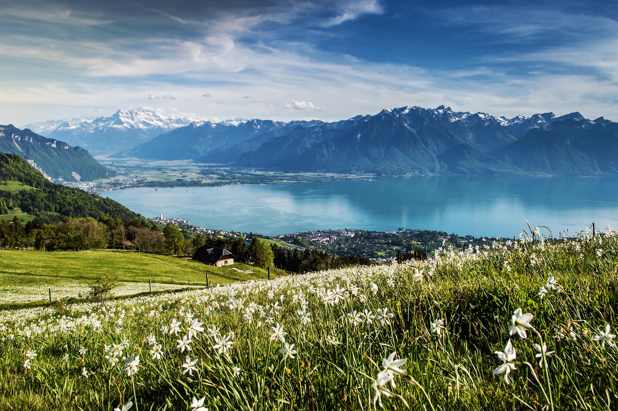
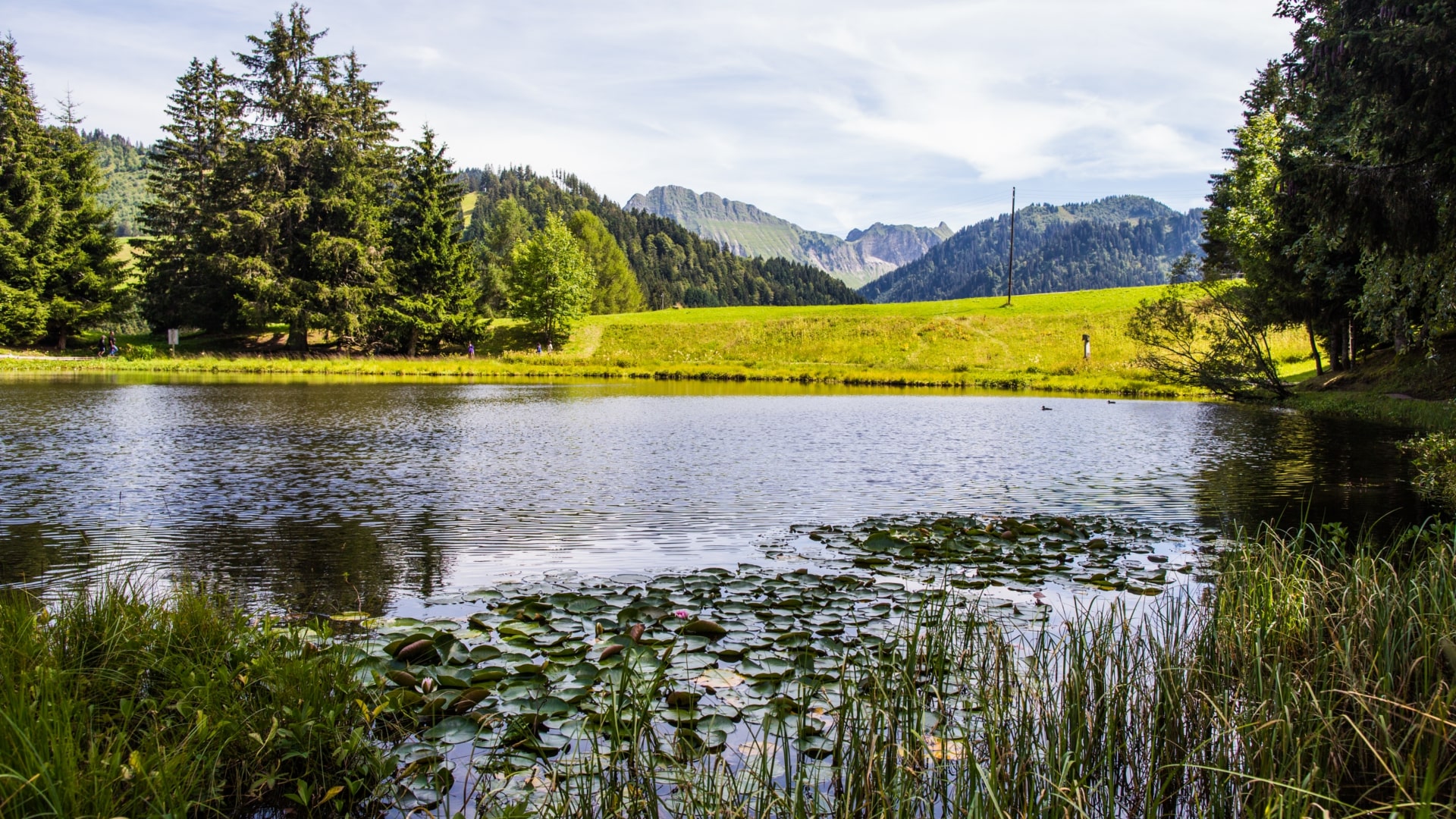
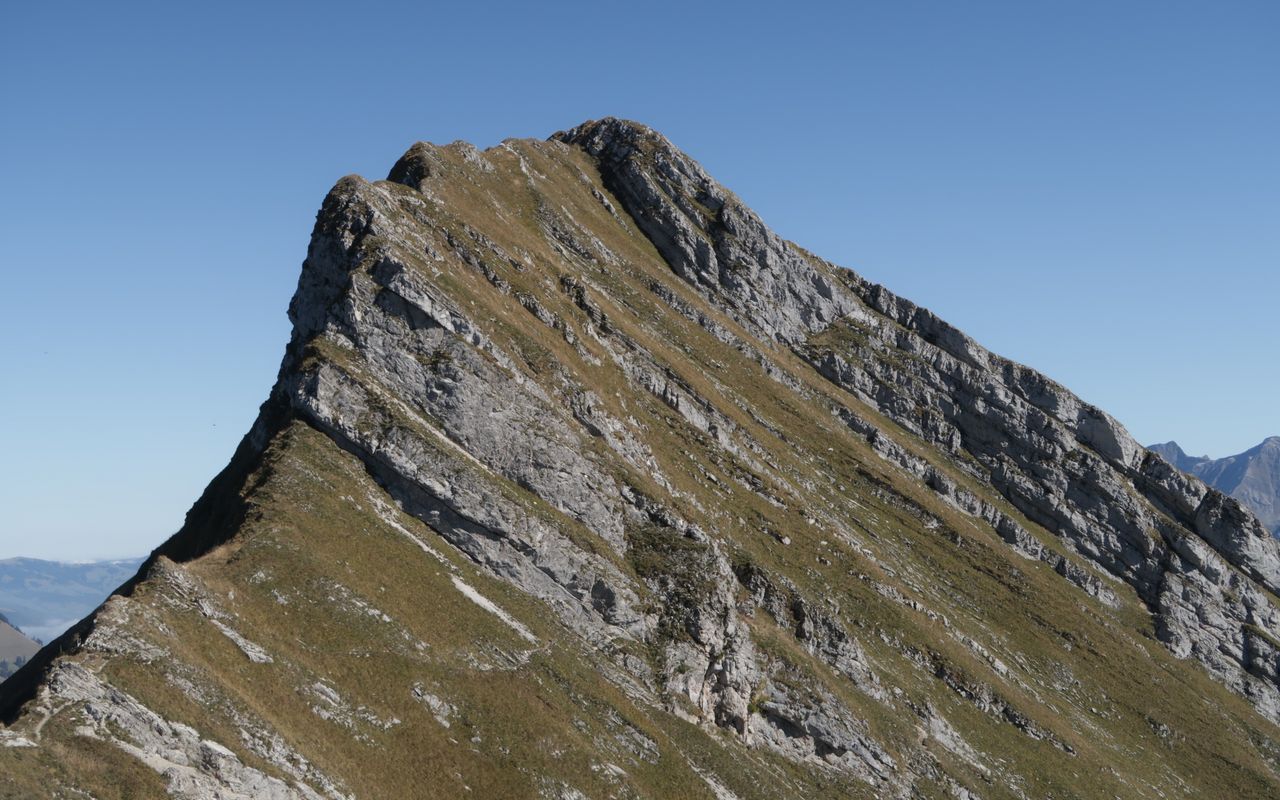
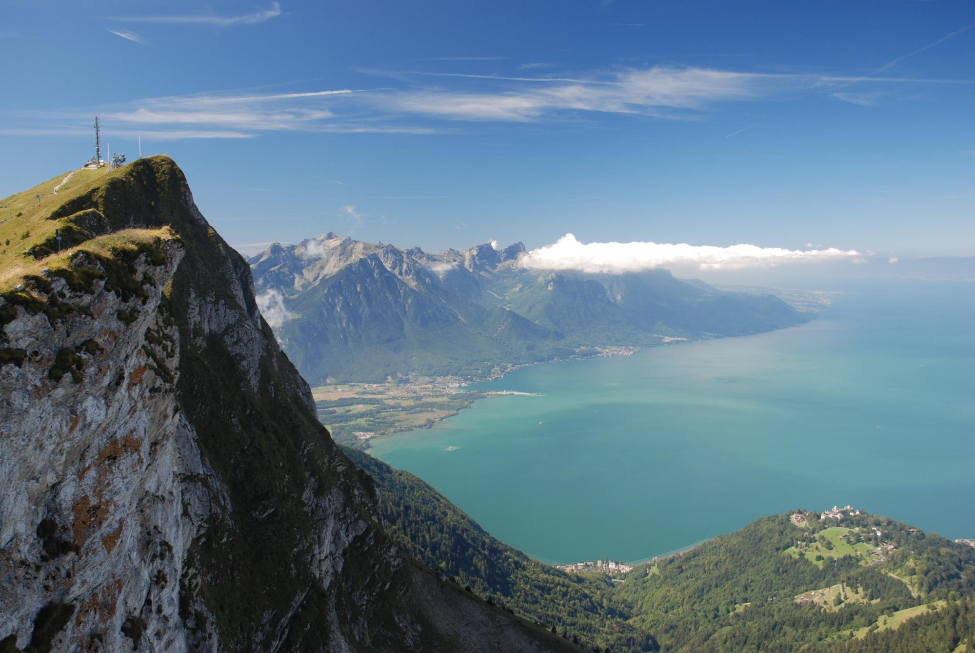
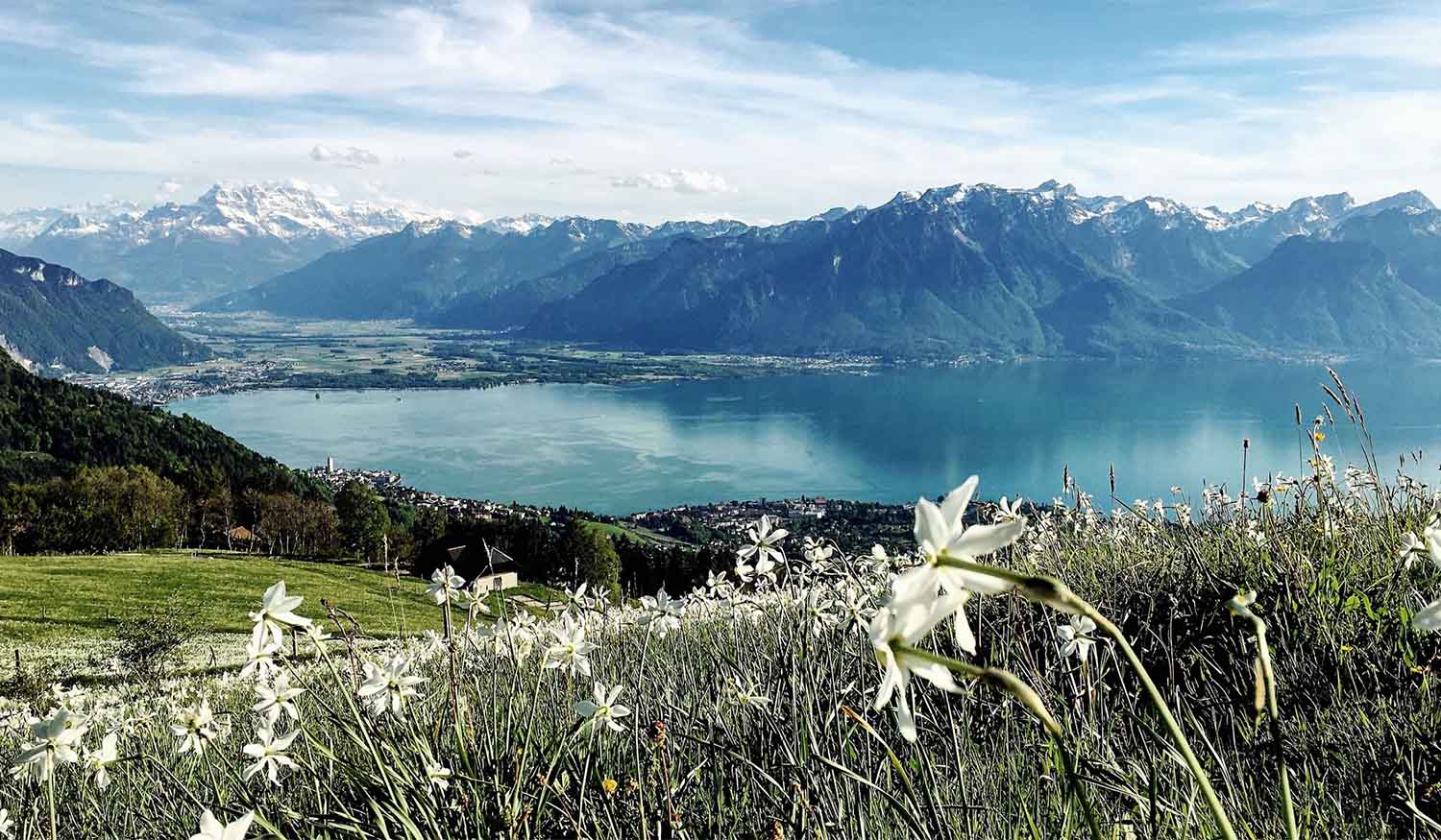
Here is a beautiful hike located near Blonay, in the canton of Vaud. The route loops around the Pléiades mountain and passes by its summit, offering splendid views of the surroundings and in particular Lake Geneva.

Already more than 200,000 users!
Uphill
477m
Highest point
1387m
Downhill
477m
Lowest point
957m
Route type
Loop
Download the map on your smartphone to save battery and rest assured to always keep access to the route, even without signal.
Includes IGN France and Swisstopo.
I indicate whether dogs are allowed or prohibited on this trail
Can be difficult in Winter
3 ratings
Also enjoy:

Already more than 200,000 users!