Uphill
384m
Length
7km
Duration
3h
Elev gain
384m
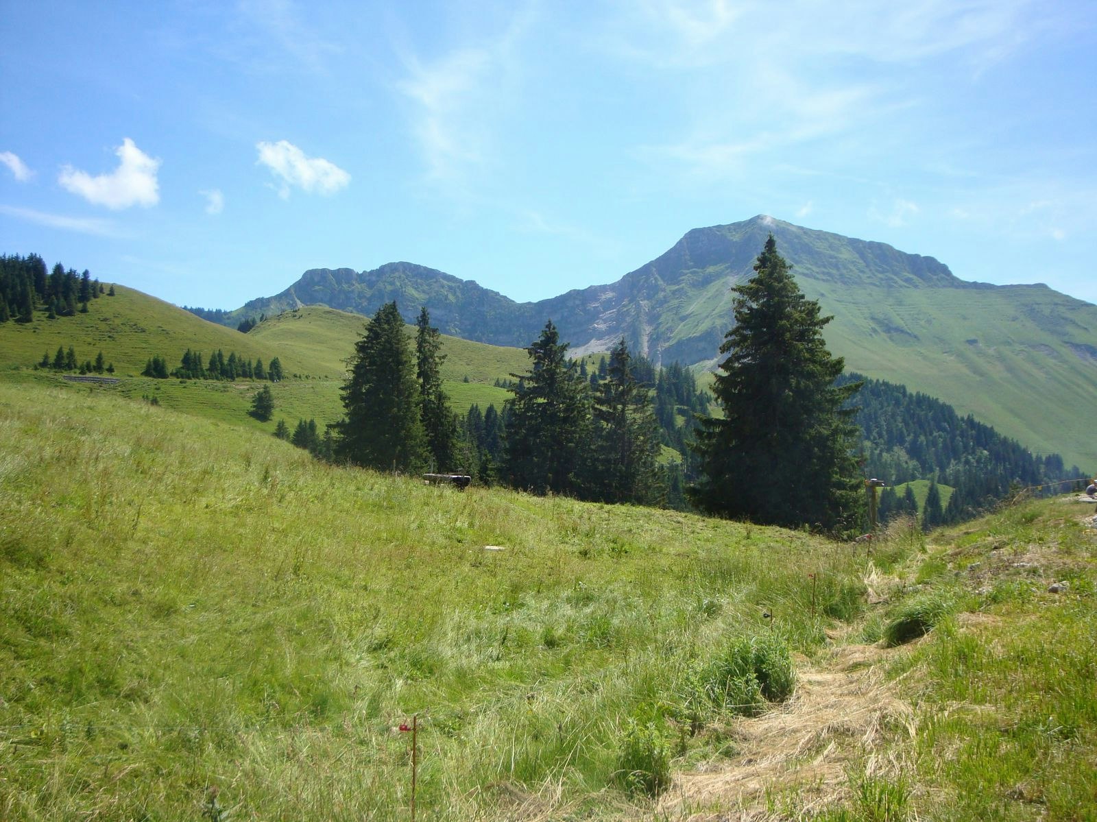
Great hike that starts in the woods and ends in the mountain pastures with a magnificent view. The trail is punctuated with explanatory panels on the production of "Gruyère" cheese. At the top, the Vuipay refreshment bar allows you to take a gourmet break before heading back to the starting point.

Already more than 200,000 users!
Uphill
384m
Highest point
1511m
Downhill
384m
Lowest point
1140m
Route type
Loop
Download the map on your smartphone to save battery and rest assured to always keep access to the route, even without signal.
Includes IGN France and Swisstopo.
I indicate whether dogs are allowed or prohibited on this trail
Can be difficult in Winter
2 ratings
Also enjoy:

Already more than 200,000 users!


