Uphill
607m
Switzerland > Fribourg > Gruyère Pays-d'Enhaut Nature Park
Length
8km
Duration
3h30min
Elev gain
607m
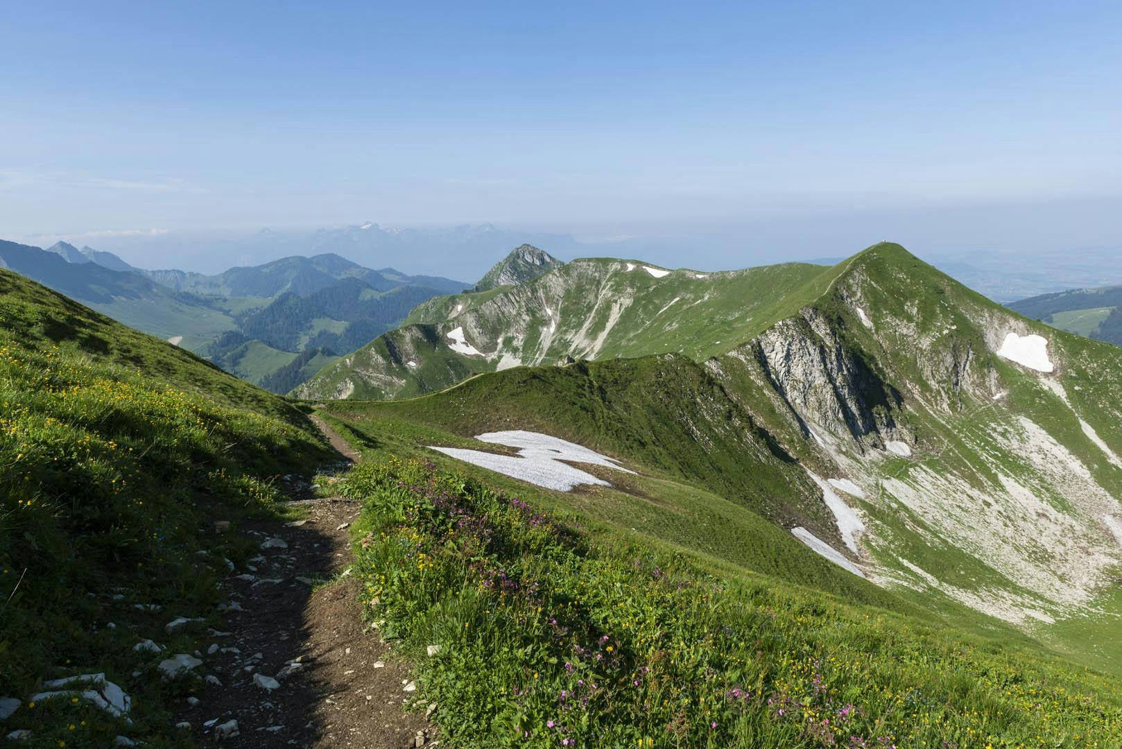
Departing from the Plan-Francey funicular station, this route climbs to the summit of Moléson (2,002 m) via a crest, which requires good physical condition and a sure foot. At the top, the view is splendid. The descent to the starting point is via a cable car.

Already more than 200,000 users!
Uphill
607m
Highest point
1965m
Downhill
158m
Lowest point
1400m
Route type
One way
Download the map on your smartphone to save battery and rest assured to always keep access to the route, even without signal.
Includes IGN France and Swisstopo.
Station de Plan-Francey (funicular) at the starting point.
Station de Moléson (cable car) at the arrival.
I indicate whether dogs are allowed or prohibited on this trail
From May to October
2 ratings
Also enjoy:

Already more than 200,000 users!


