Uphill
507m
Switzerland > Fribourg > Gruyère Pays-d'Enhaut Nature Park
Length
14km
Duration
5h
Elev gain
507m
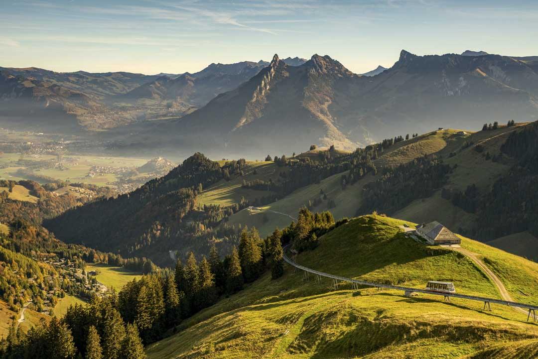
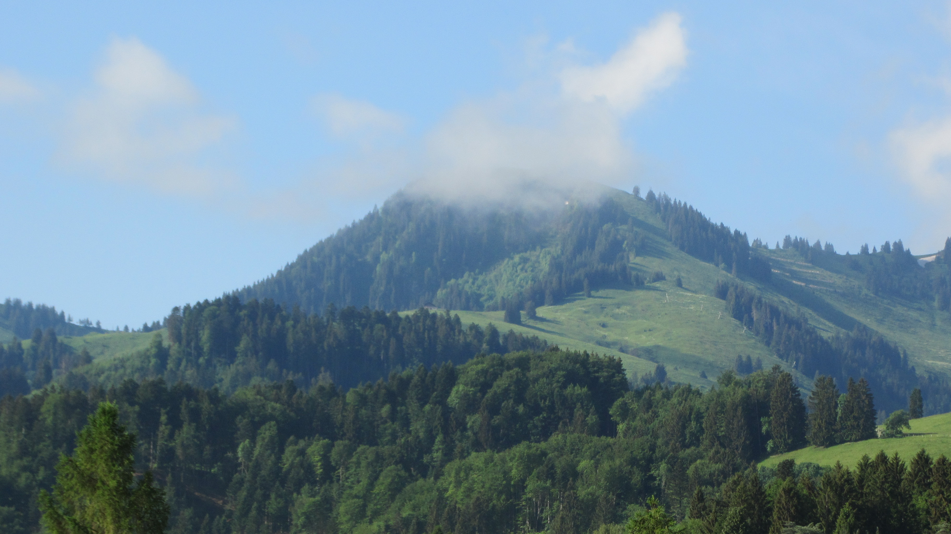
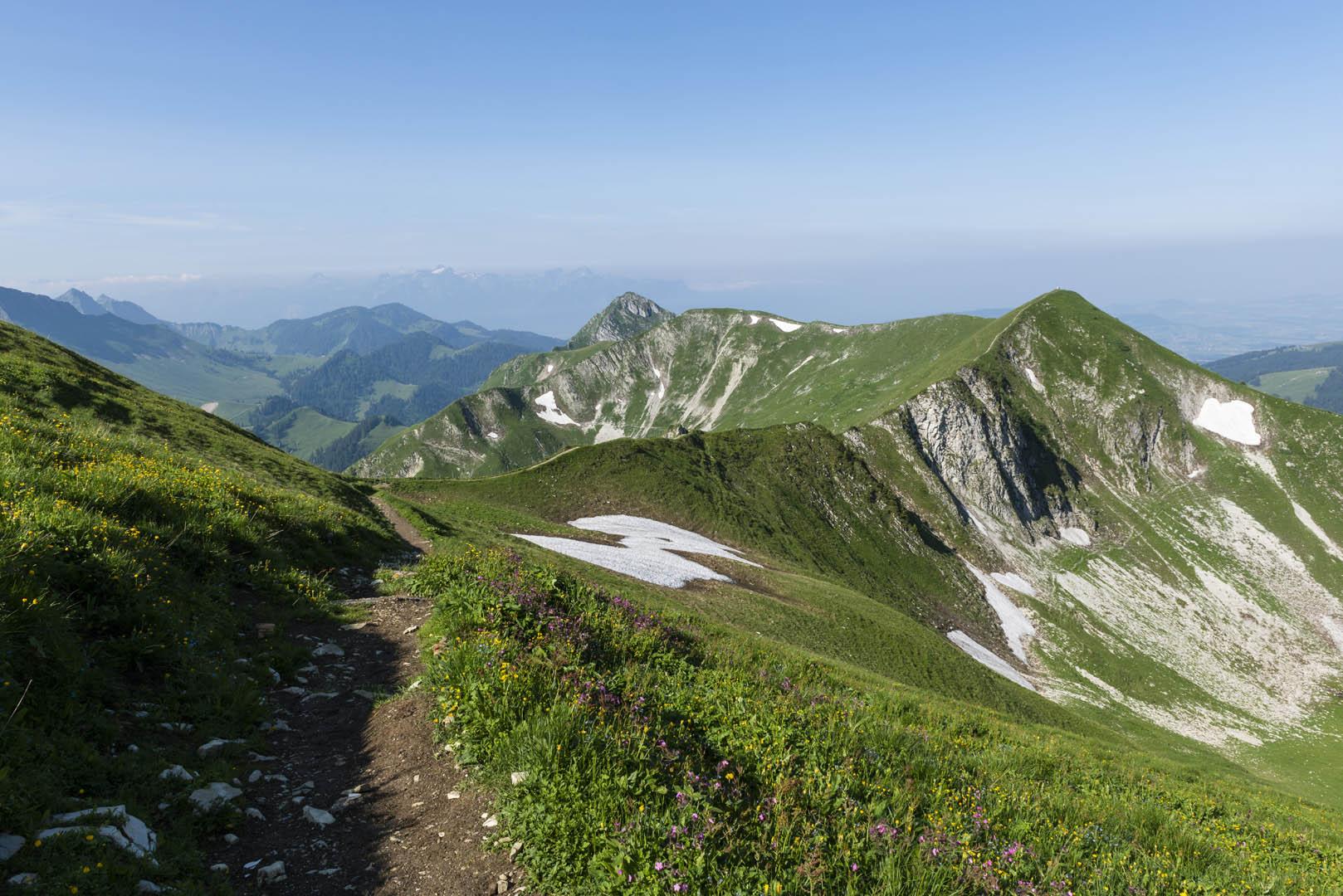
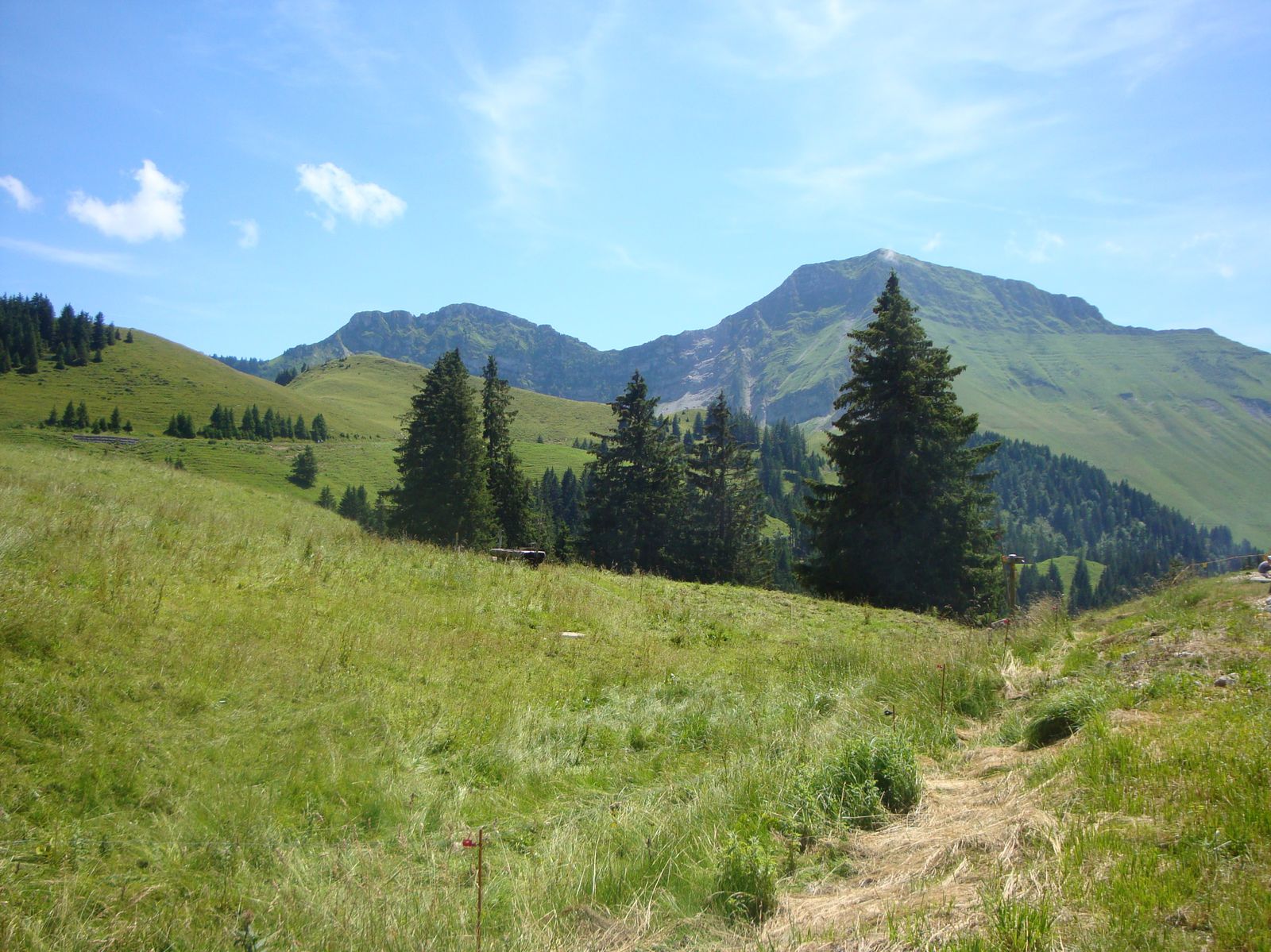
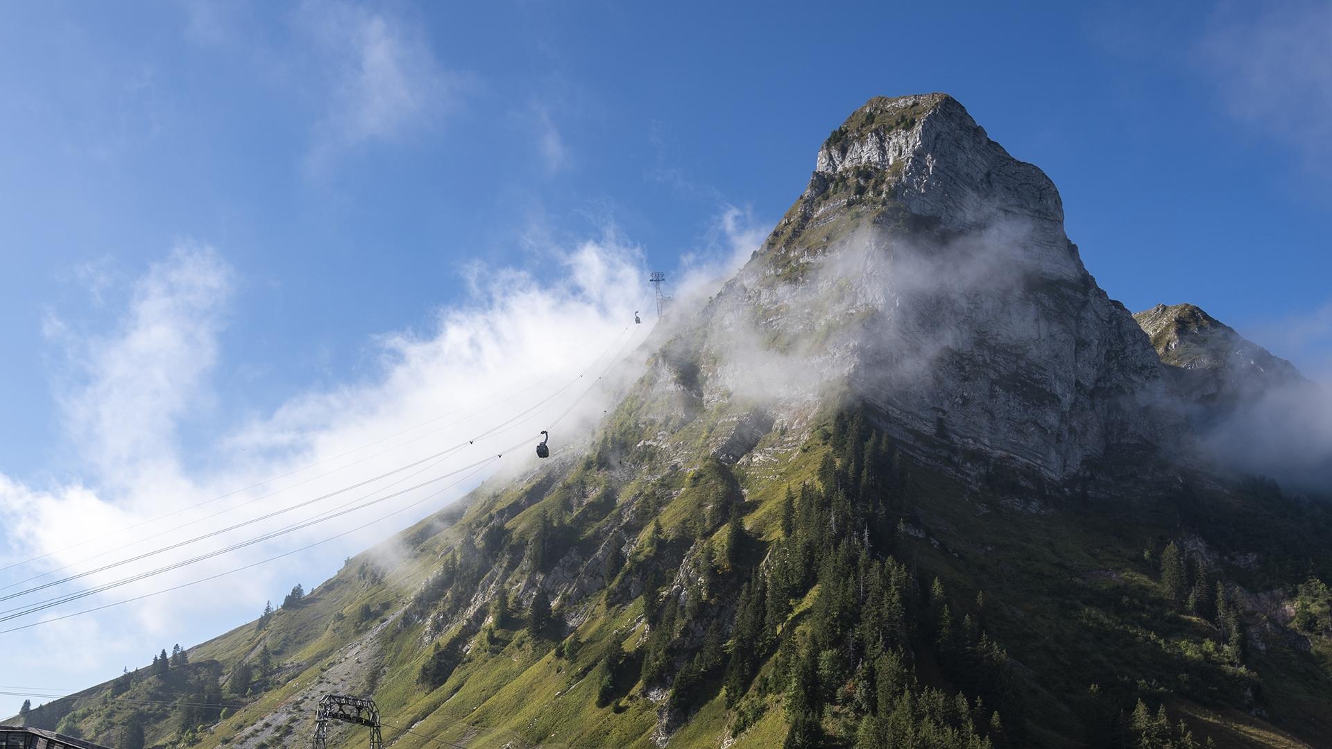
Nice hike from the village of Moléson. The route makes a loop on hilly paths that pass the Gros Plané refreshment bar and the Plan-Francey funicular station, all at the foot of the Moléson (2,002 m). The landscapes are superb and the viewpoints follow one another!

Already more than 200,000 users!
Uphill
507m
Highest point
1510m
Downhill
507m
Lowest point
1104m
Route type
Loop
Download the map on your smartphone to save battery and rest assured to always keep access to the route, even without signal.
Includes IGN France and Swisstopo.
Parking at the start of the hike.
Station de Moléson-Village nearby (funicular).
I indicate whether dogs are allowed or prohibited on this trail
Can be difficult in Winter
0 ratings
Also enjoy:

Already more than 200,000 users!