Uphill
419m
Length
8km
Duration
3h
Elev gain
419m
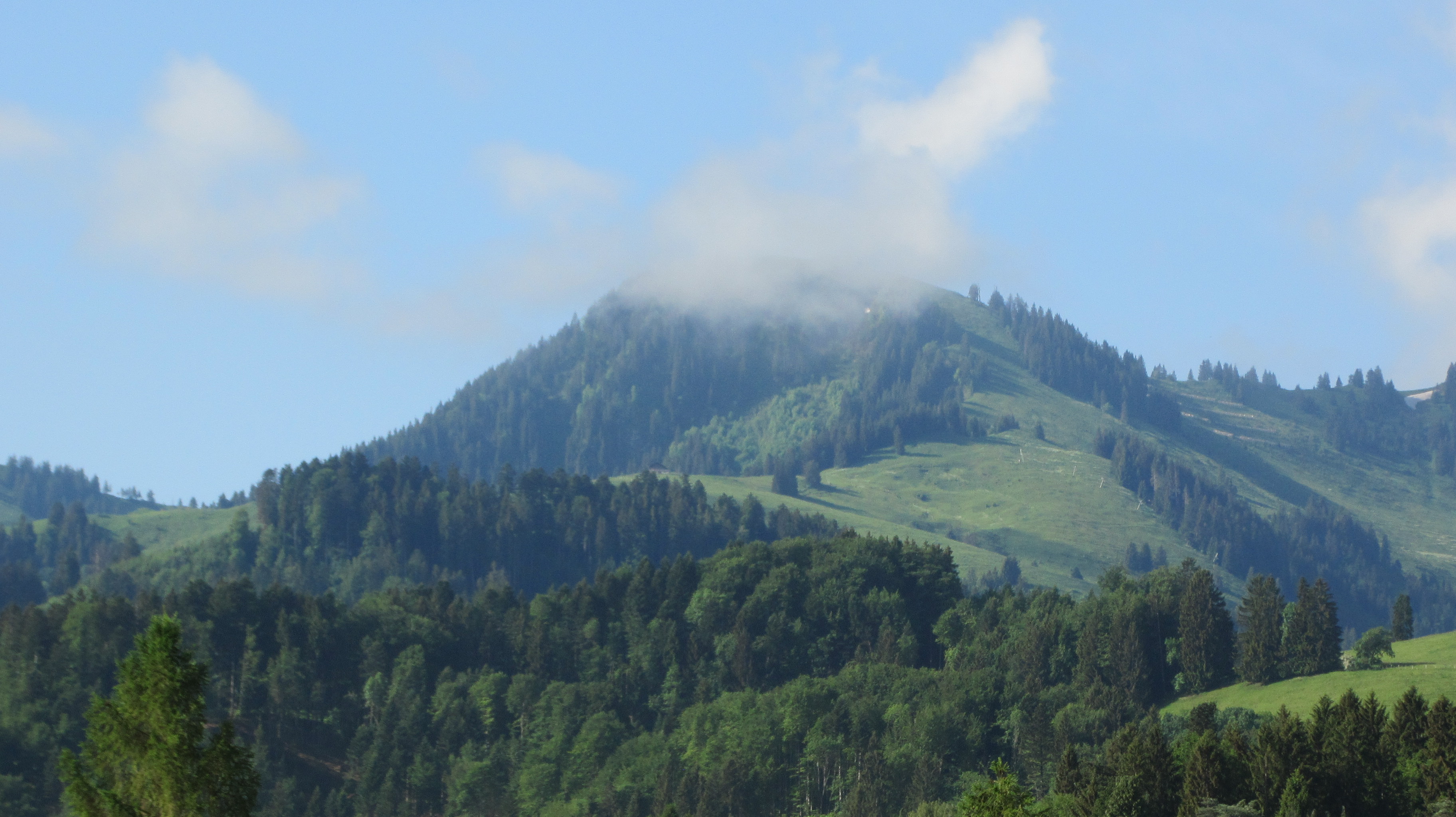
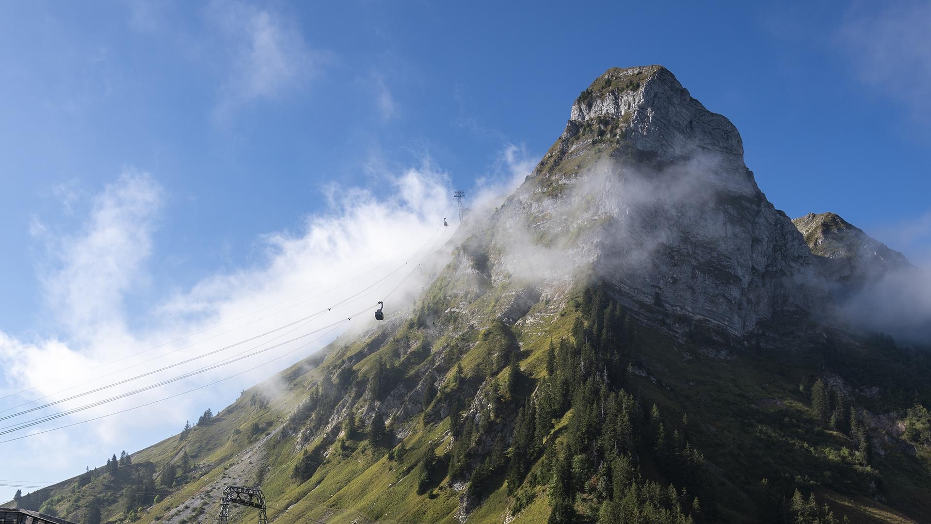
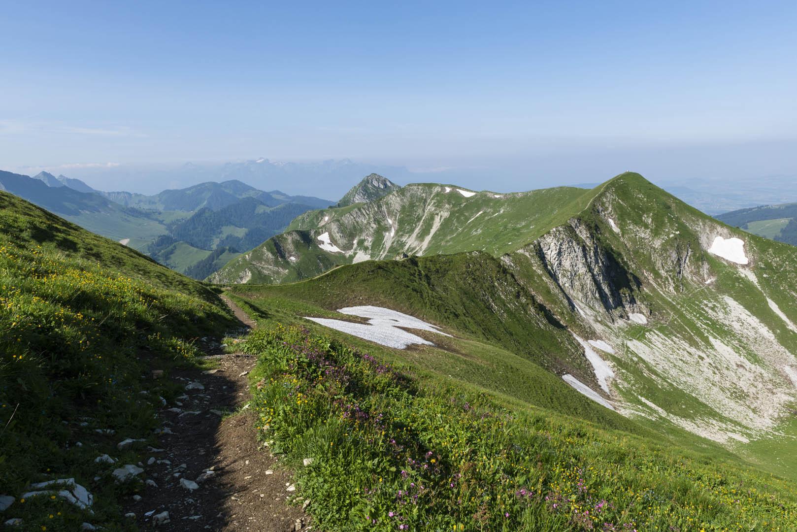
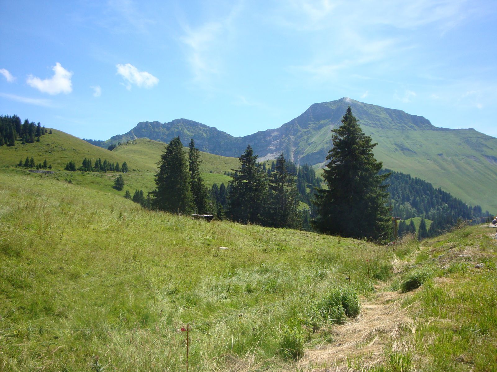
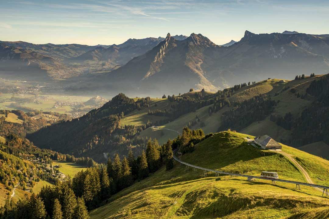
Here is a pretty hike that starts near Moléson-sur-Gruyères. Halfway through, the trail reaches the Plan-Francey mountain hotel, where the view over the county of Gruyère and the Friborg Pre-Alps is breathtaking. The return to the starting point is on a pretty little relatively steep path.

Already more than 200,000 users!
Uphill
419m
Highest point
1510m
Downhill
419m
Lowest point
1102m
Route type
Loop
Download the map on your smartphone to save battery and rest assured to always keep access to the route, even without signal.
Includes IGN France and Swisstopo.
I indicate whether dogs are allowed or prohibited on this trail
Can be difficult in Winter
3 ratings
Also enjoy:

Already more than 200,000 users!