Uphill
637m
Length
12km
Duration
5h
Elev gain
637m
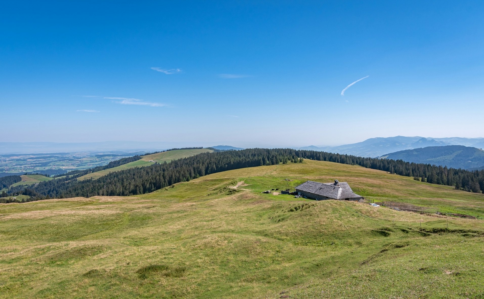
Departing from Semsales, this pretty hike takes place in the heart of the Swiss Pre-Alps in the canton of Fribourg. The route leads to Niremont, located at 1,514 meters above sea level, passing by the Goille au Cerf refreshment bar, where a short break is essential. Once at the top, the view of the Moléson, Lake Geneva and the Jura mountains is spectacular.

Already more than 200,000 users!
Uphill
637m
Highest point
1508m
Downhill
637m
Lowest point
864m
Route type
Loop
Download the map on your smartphone to save battery and rest assured to always keep access to the route, even without signal.
Includes IGN France and Swisstopo.
I indicate whether dogs are allowed or prohibited on this trail
Can be difficult in Winter
0 ratings
Also enjoy:

Already more than 200,000 users!


