Uphill
750m
Switzerland > Vaud > Gruyère Pays-d'Enhaut Nature Park
Length
10km
Duration
5h
Elev gain
750m
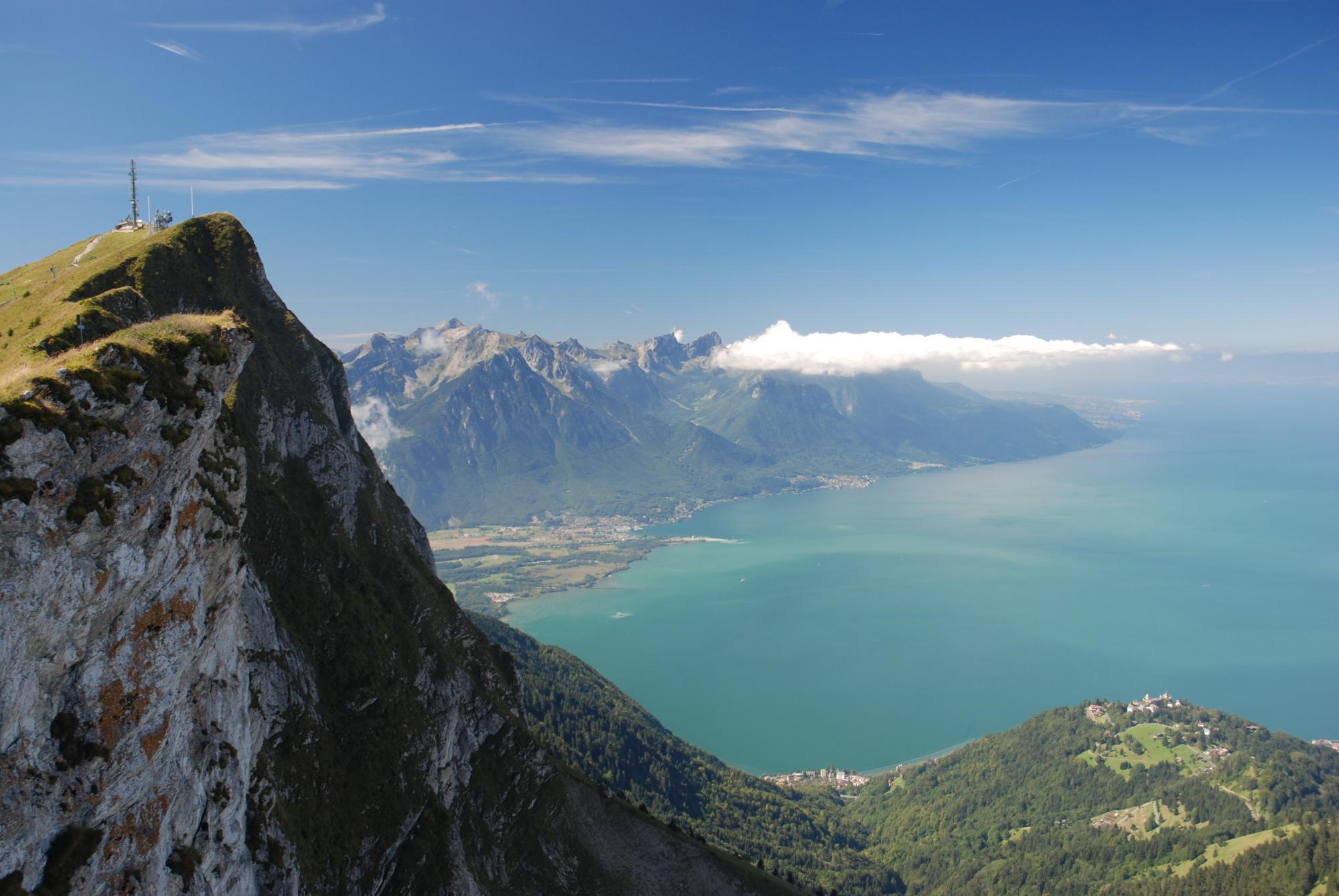
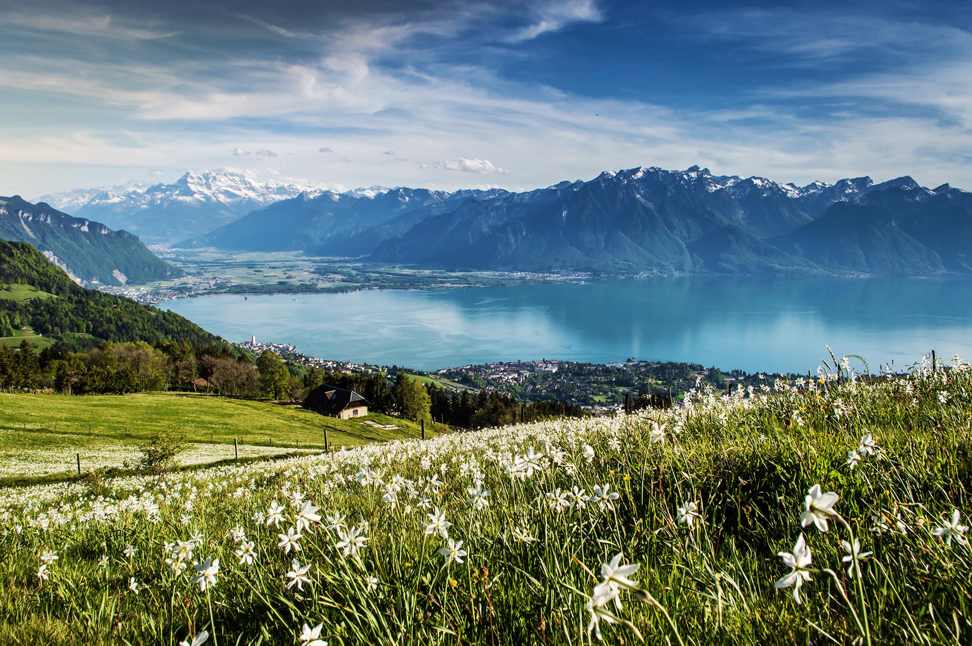
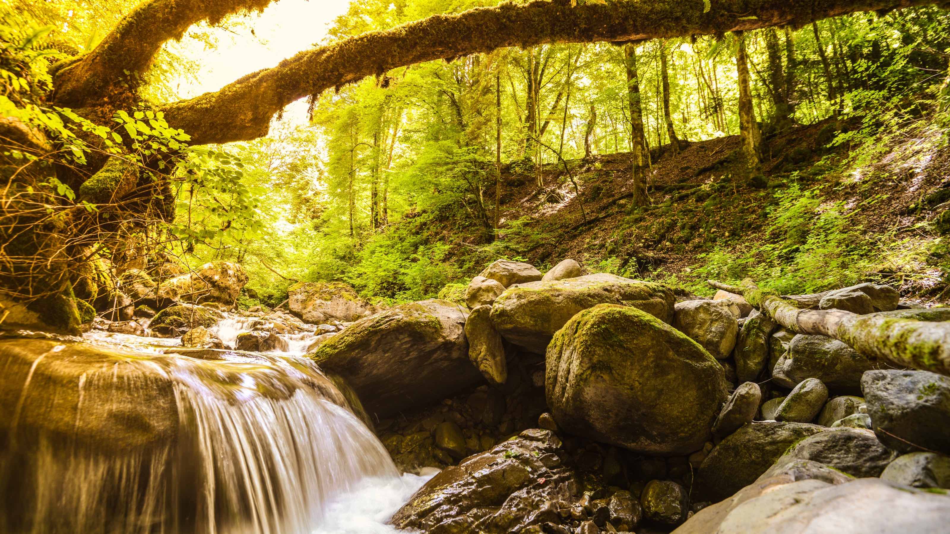
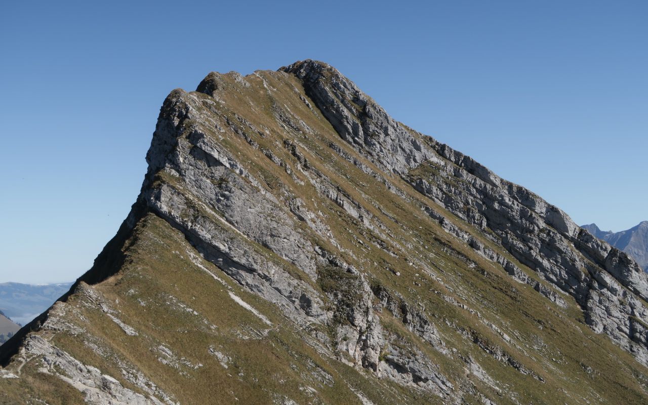
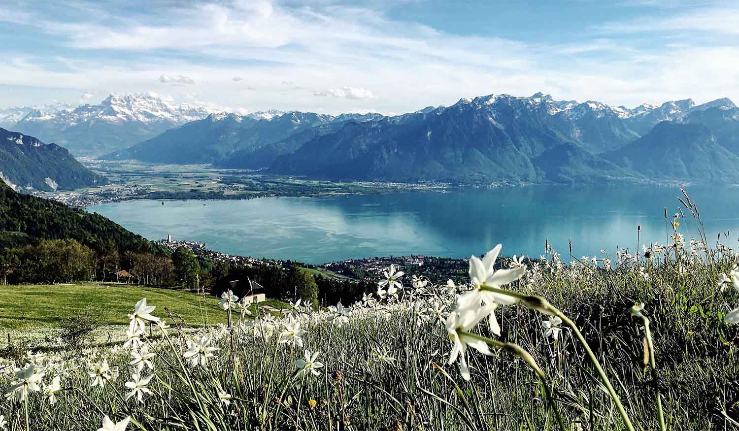
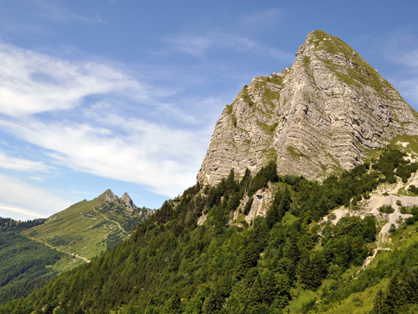
Starting from Col de Jaman, this trail leads to the emblematic Dent de Jaman, a tooth-shaped summit overlooking the Vaud pre-Alps. It then goes to the rocks of Naye, and the way back is in the forest. Magnificent views all along on Lake Geneva and the Alps.

Already more than 200,000 users!
Uphill
750m
Highest point
2018m
Downhill
750m
Lowest point
1491m
Route type
Loop
Download the map on your smartphone to save battery and rest assured to always keep access to the route, even without signal.
Includes IGN France and Swisstopo.
Parking du col de Jaman.
Jaman and Rochers de Naye train stations are both on the trail.
I indicate whether dogs are allowed or prohibited on this trail
From May to September
2 ratings
Also enjoy:

Already more than 200,000 users!