Uphill
506m
Length
13km
Duration
4h30min
Elev gain
506m
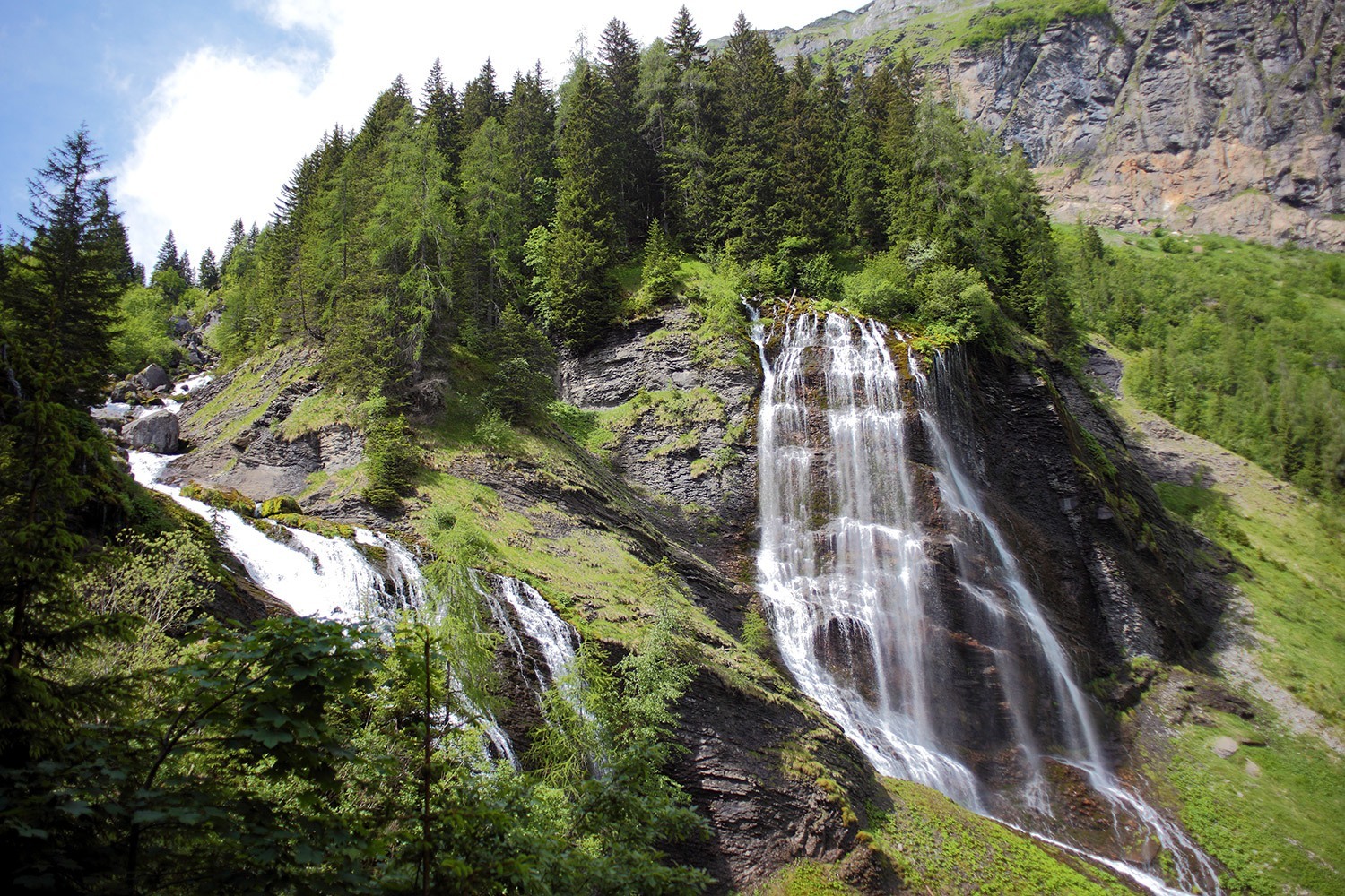
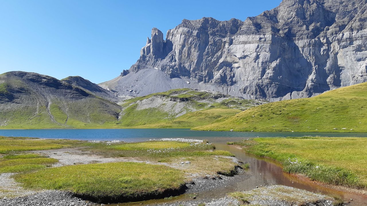
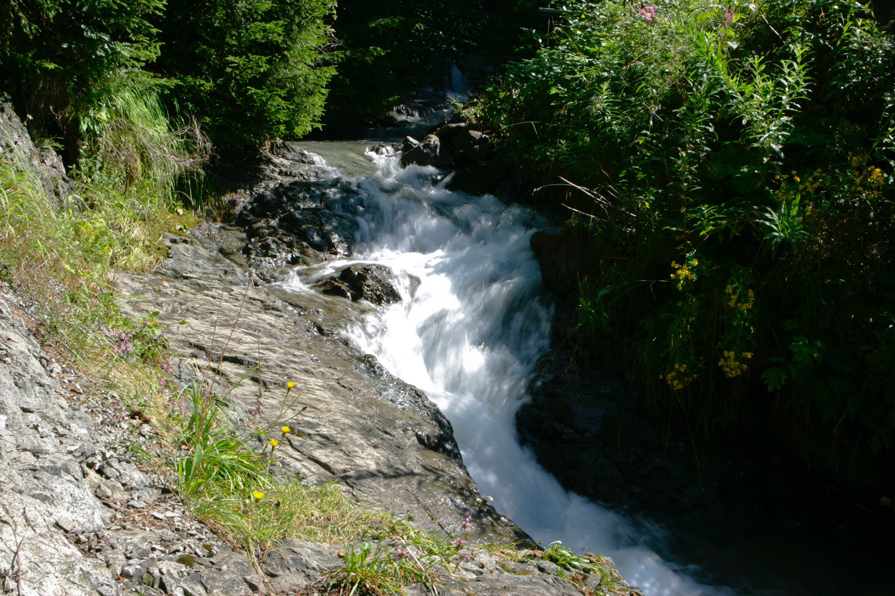
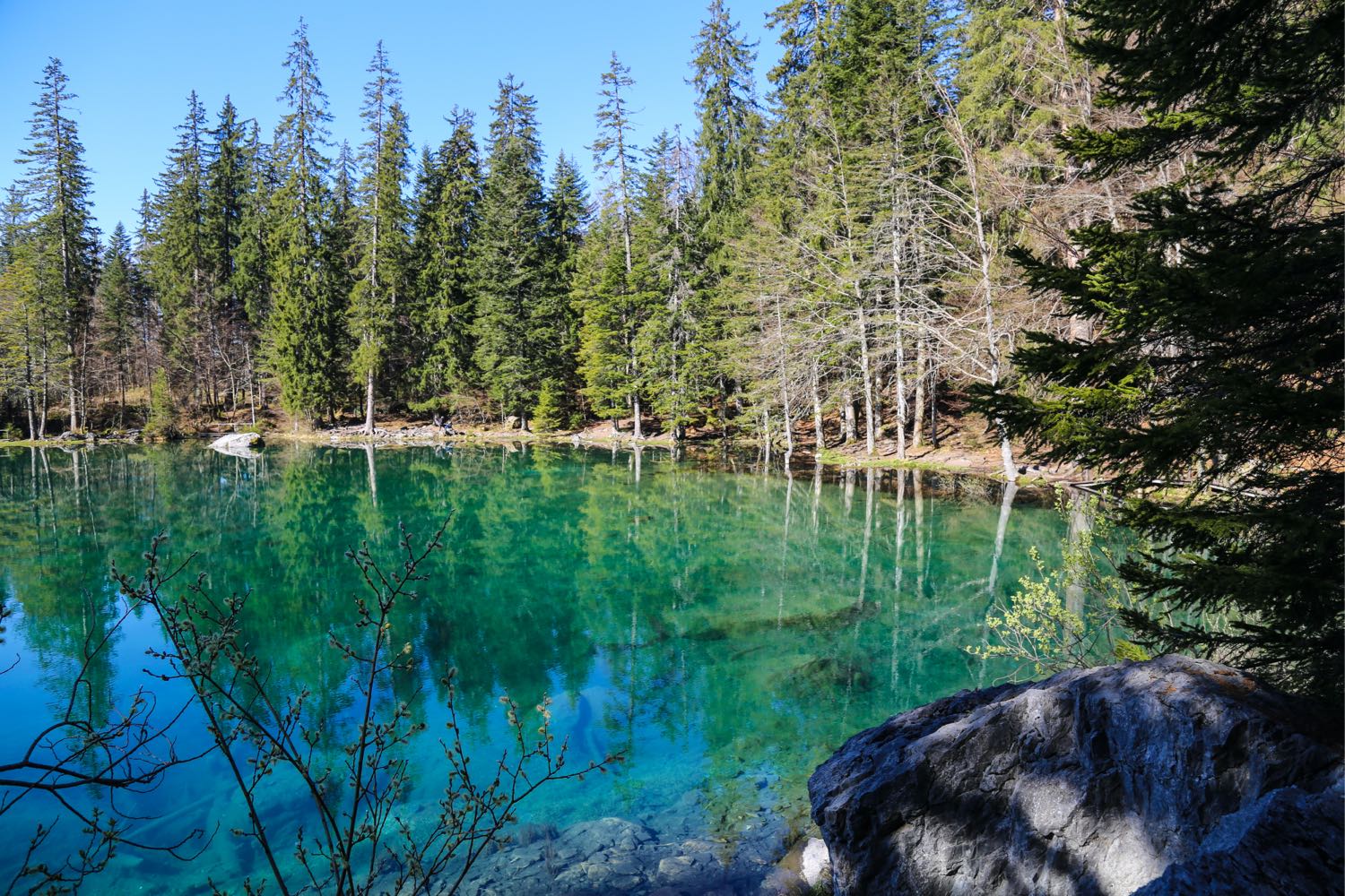
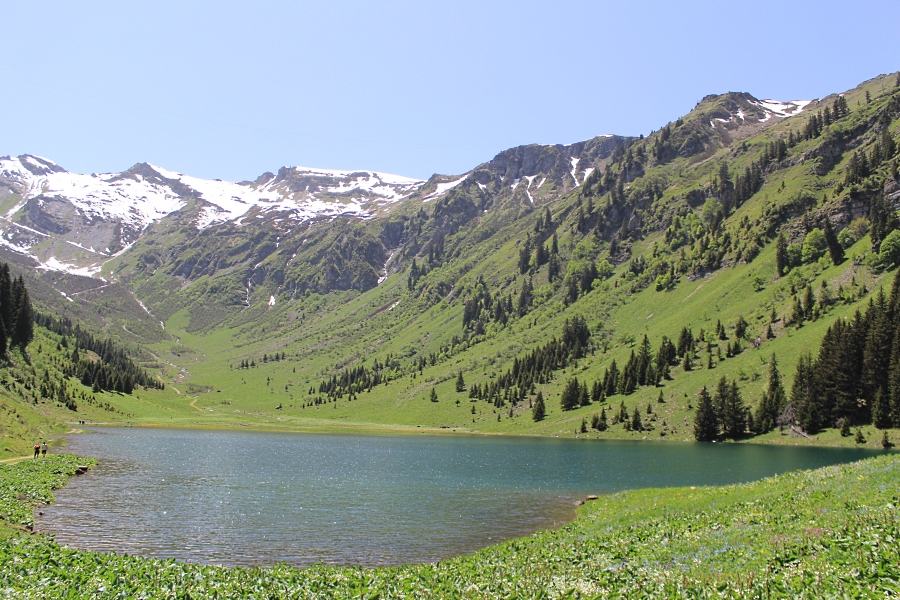
There and back trail to the pretty lake of Gers located at an altitude of 1,537 m. This path, which alternates between forest then mountain pastures, remains relatively accessible despite the distance.

Already more than 200,000 users!
Uphill
506m
Highest point
1553m
Downhill
506m
Lowest point
1131m
Route type
There and back
Download the map on your smartphone to save battery and rest assured to always keep access to the route, even without signal.
Includes IGN France and Swisstopo.
I indicate whether dogs are allowed or prohibited on this trail
Can be difficult in Winter
0 ratings
Also enjoy:

Already more than 200,000 users!