Uphill
1307m
Length
19km
Duration
9h30min
Elev gain
1307m
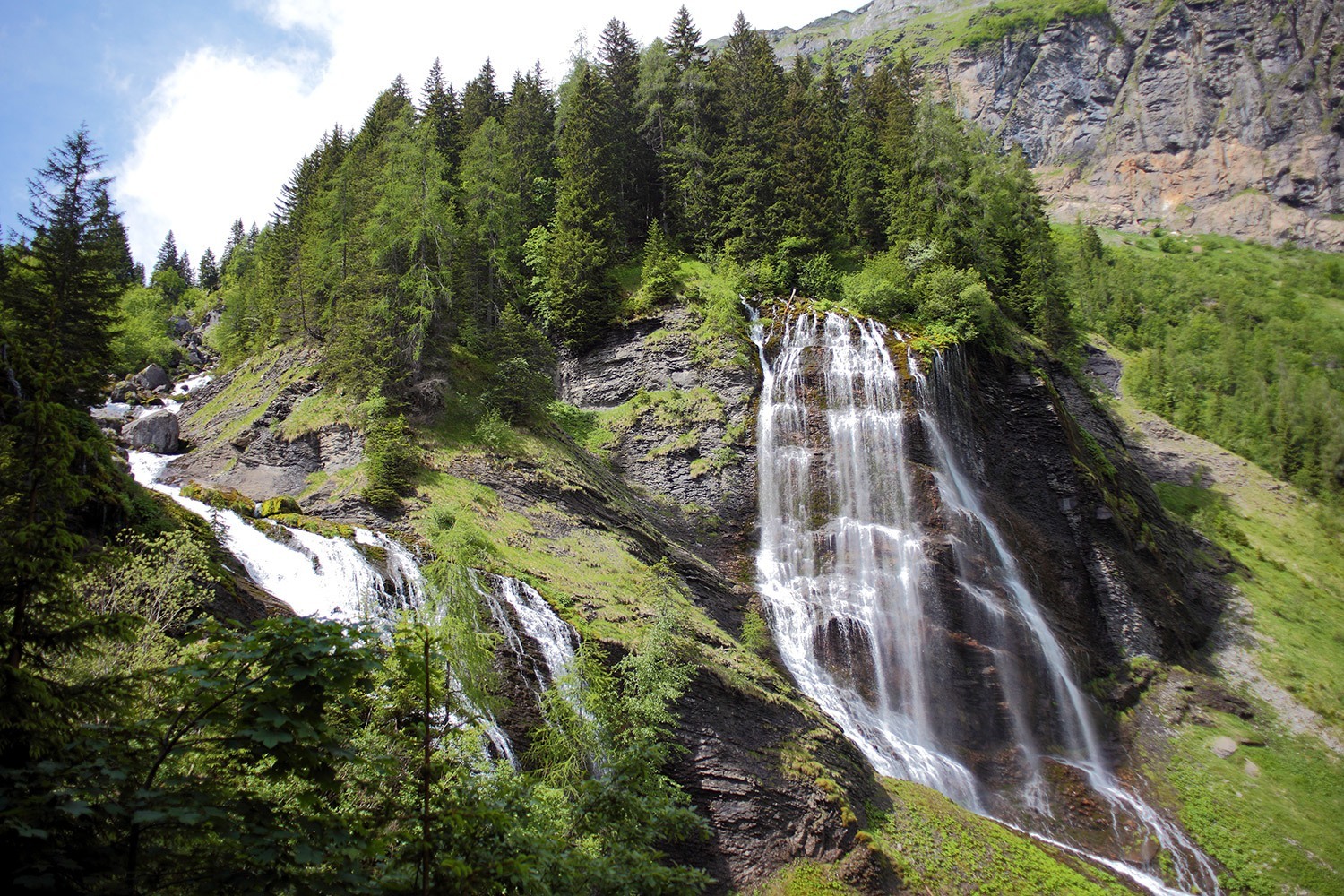
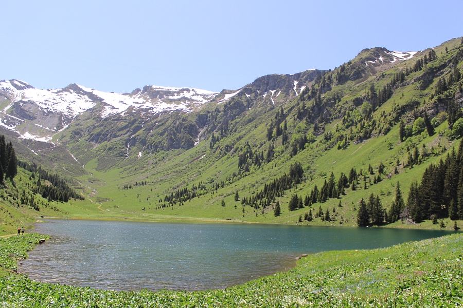
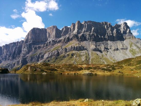
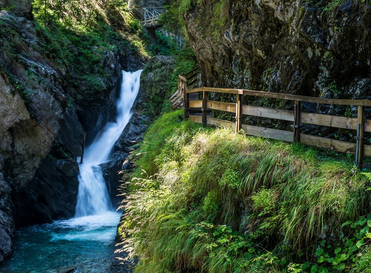
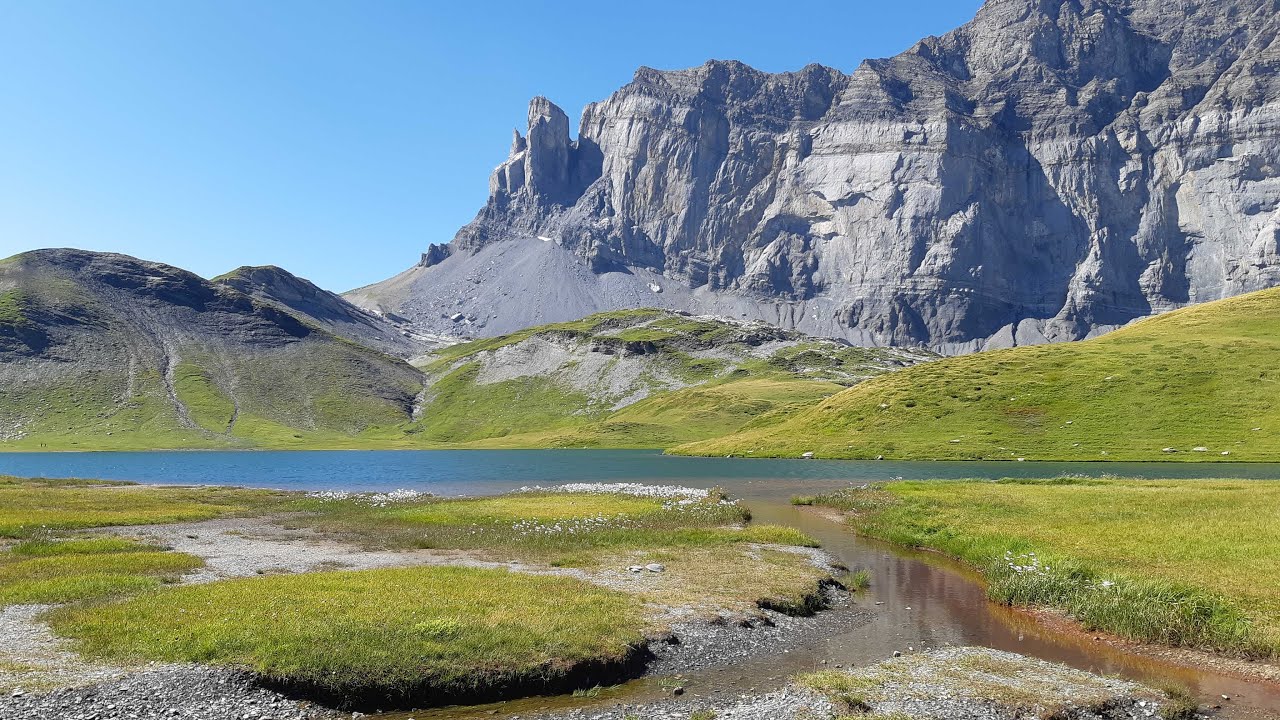
Located in the heart of the Sixt-Passy nature reserve, Lake Anterne is earned with a steep climb. But the landscapes are magnificent and the marmots frequently come out. The return is made at the Col d'Anterne (2,257 m).
An popular trail in Haute-Savoie.

Already more than 200,000 users!
Uphill
1307m
Highest point
2267m
Downhill
1307m
Lowest point
1175m
Route type
There and back
Download the map on your smartphone to save battery and rest assured to always keep access to the route, even without signal.
Includes IGN France and Swisstopo.
I indicate whether dogs are allowed or prohibited on this trail
From May to September
1 rating
Also enjoy:

Already more than 200,000 users!