Uphill
1063m
Length
14km
Duration
7h30min
Elev gain
1063m
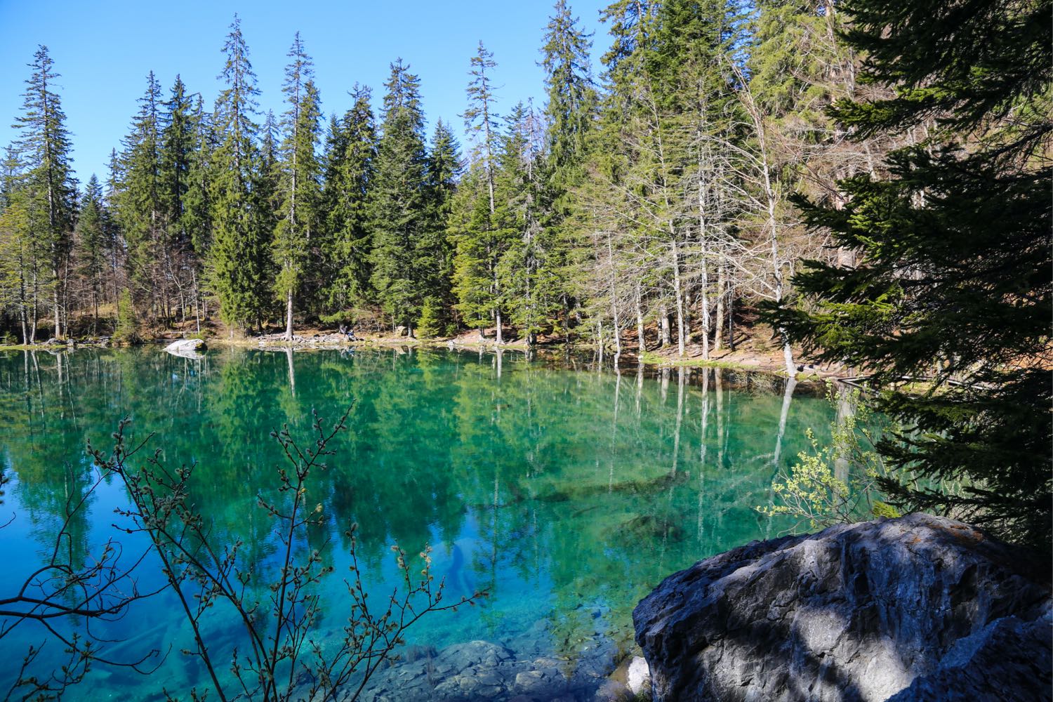
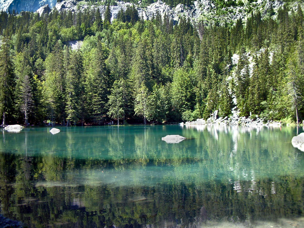
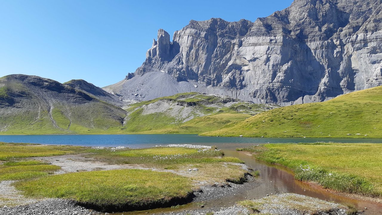
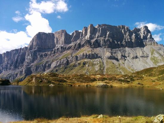
The path runs along the Souay torrent, before arriving at Pormenaz lake and offering a superb view of the long barrier of the Rochers des Fiz.

Already more than 200,000 users!
Uphill
1063m
Highest point
2314m
Downhill
1063m
Lowest point
1274m
Route type
Loop
Download the map on your smartphone to save battery and rest assured to always keep access to the route, even without signal.
Includes IGN France and Swisstopo.
I indicate whether dogs are allowed or prohibited on this trail
From May to September
2 ratings
Très sympa, mais attention à la neige au mois de mai ! Avec la fonte, le ruisseau a traverser a tendance a augmenter son débit au fil de la journée, et la traversée est plus difficile au retour qu'à l'aller.
Also enjoy:

Already more than 200,000 users!