Uphill
341m
Length
7km
Duration
2h30min
Elev gain
341m
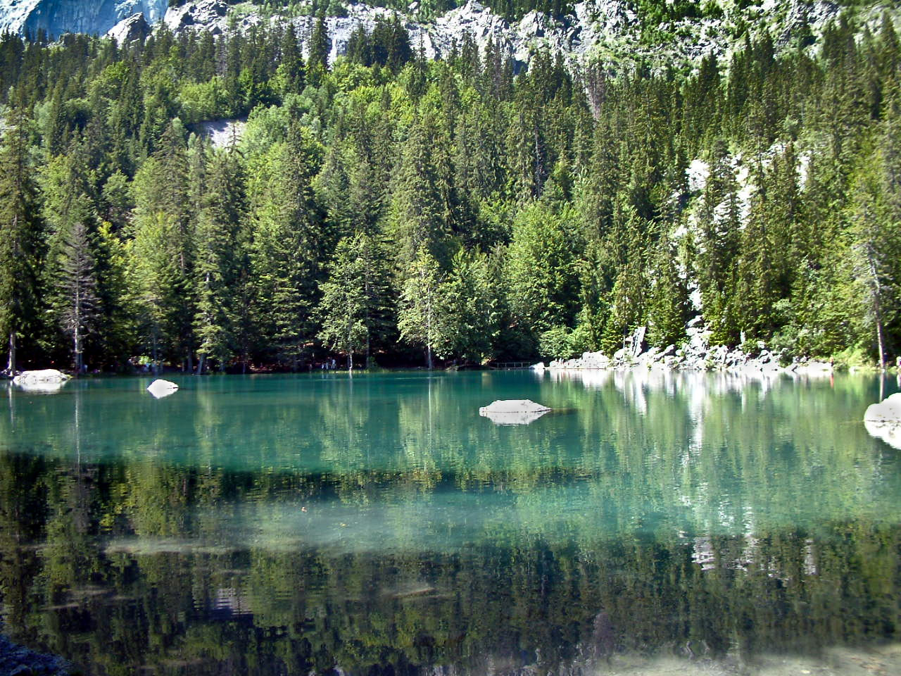
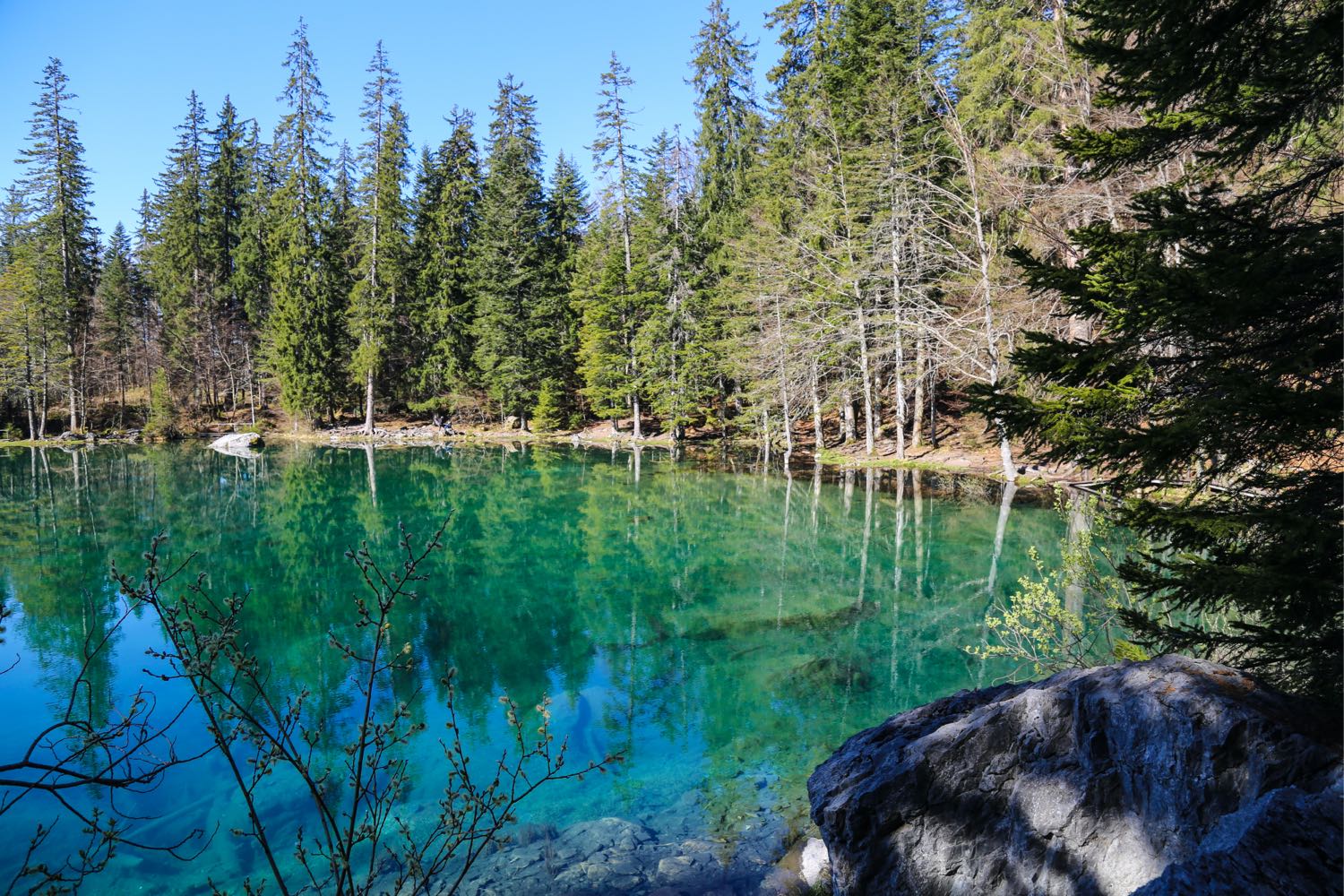
Walk leading to the very pretty Lac Vert, a listed natural site surrounded by forest. An ideal place for a picnic.
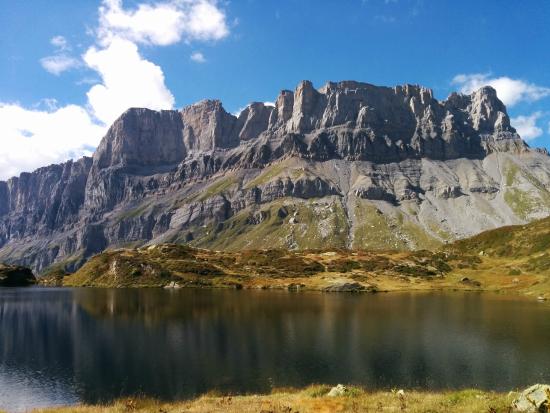
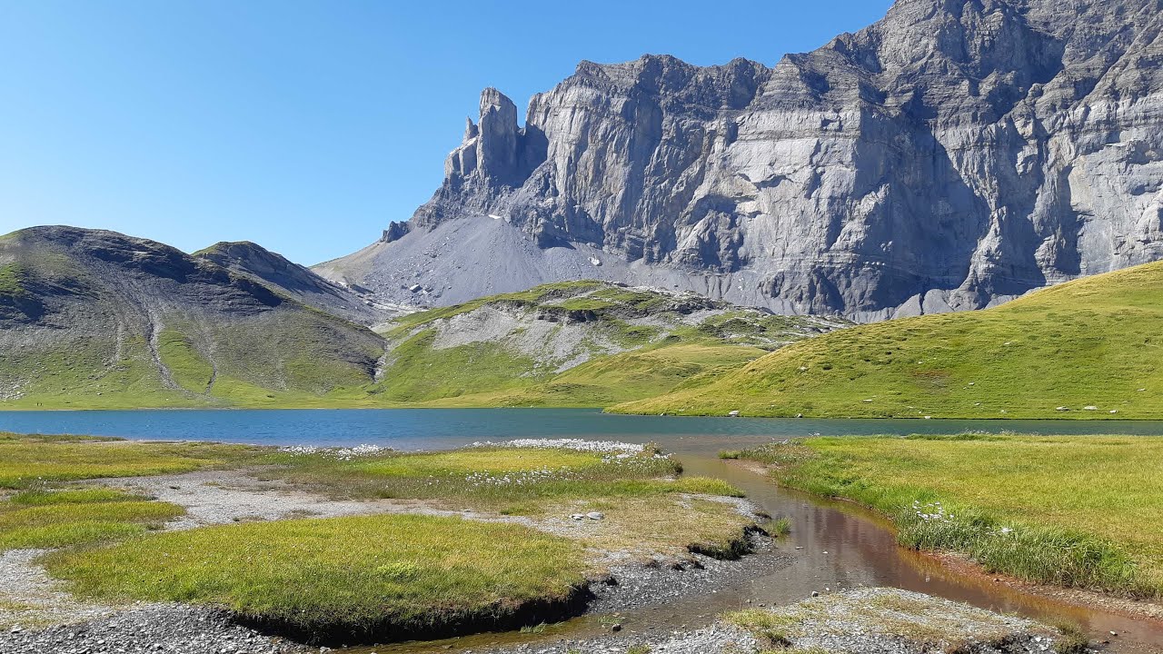
Superb views of the Mont-Blanc massif and the Fiz range.

Already more than 200,000 users!
Uphill
341m
Highest point
1615m
Downhill
341m
Lowest point
1268m
Route type
Loop
Download the map on your smartphone to save battery and rest assured to always keep access to the route, even without signal.
Includes IGN France and Swisstopo.
I indicate whether dogs are allowed or prohibited on this trail
From May to October
11 ratings
Also enjoy:

Already more than 200,000 users!