Uphill
452m
France > Auvergne-Rhône-Alpes > Haute-Savoie
Length
8km
Duration
3h30min
Elev gain
452m
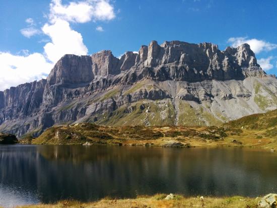
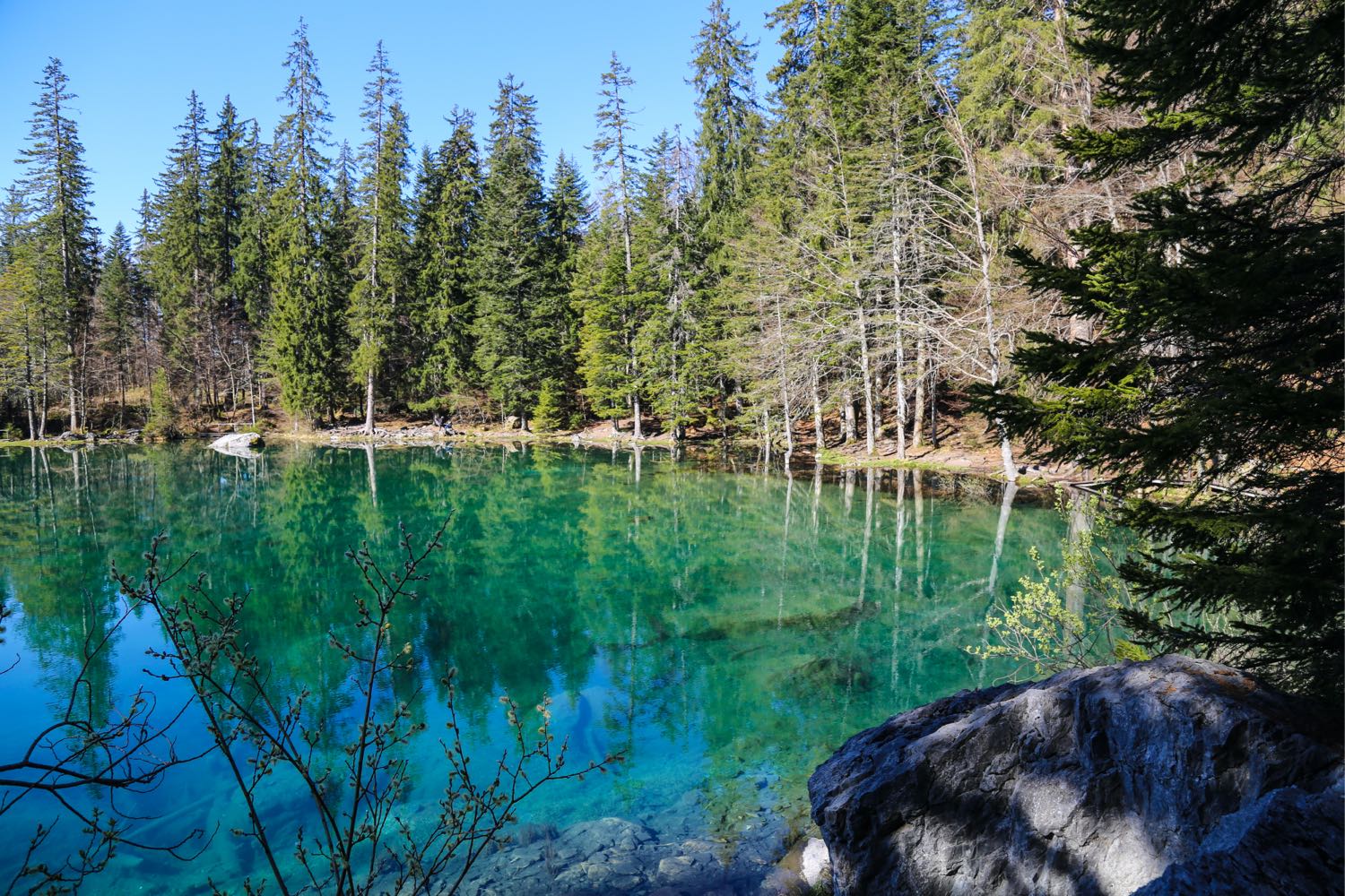
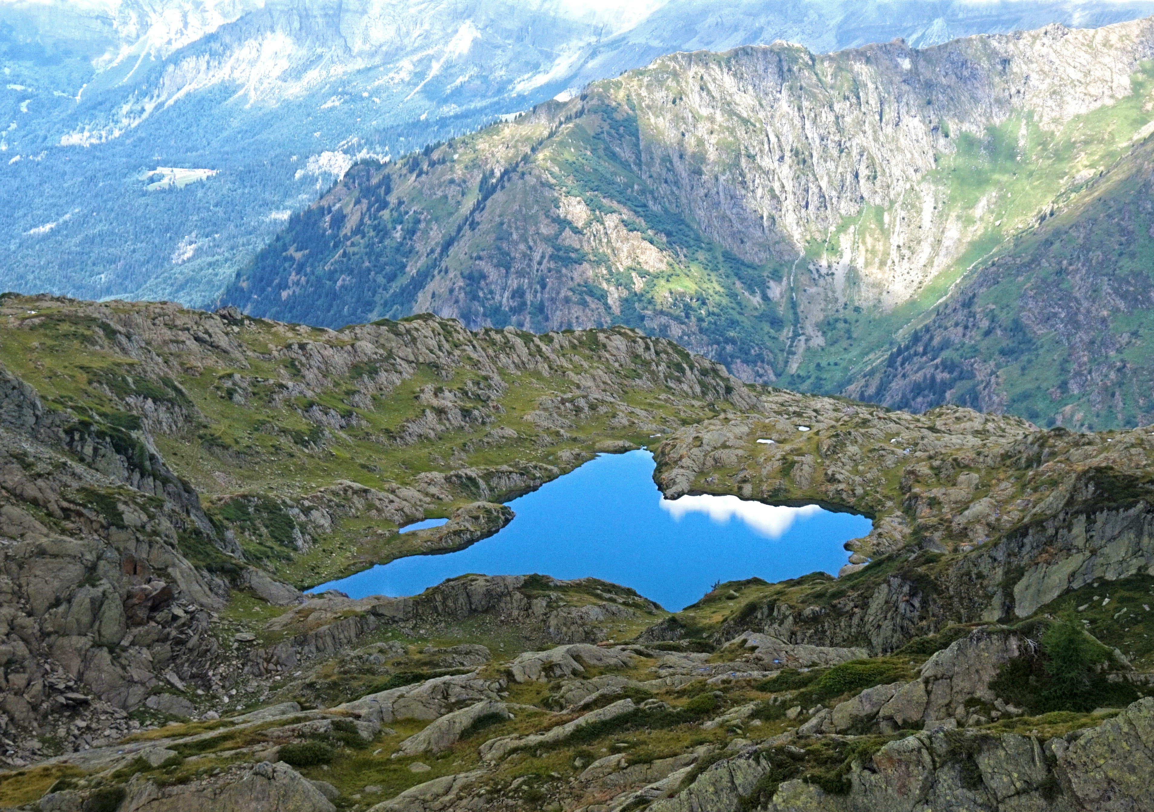
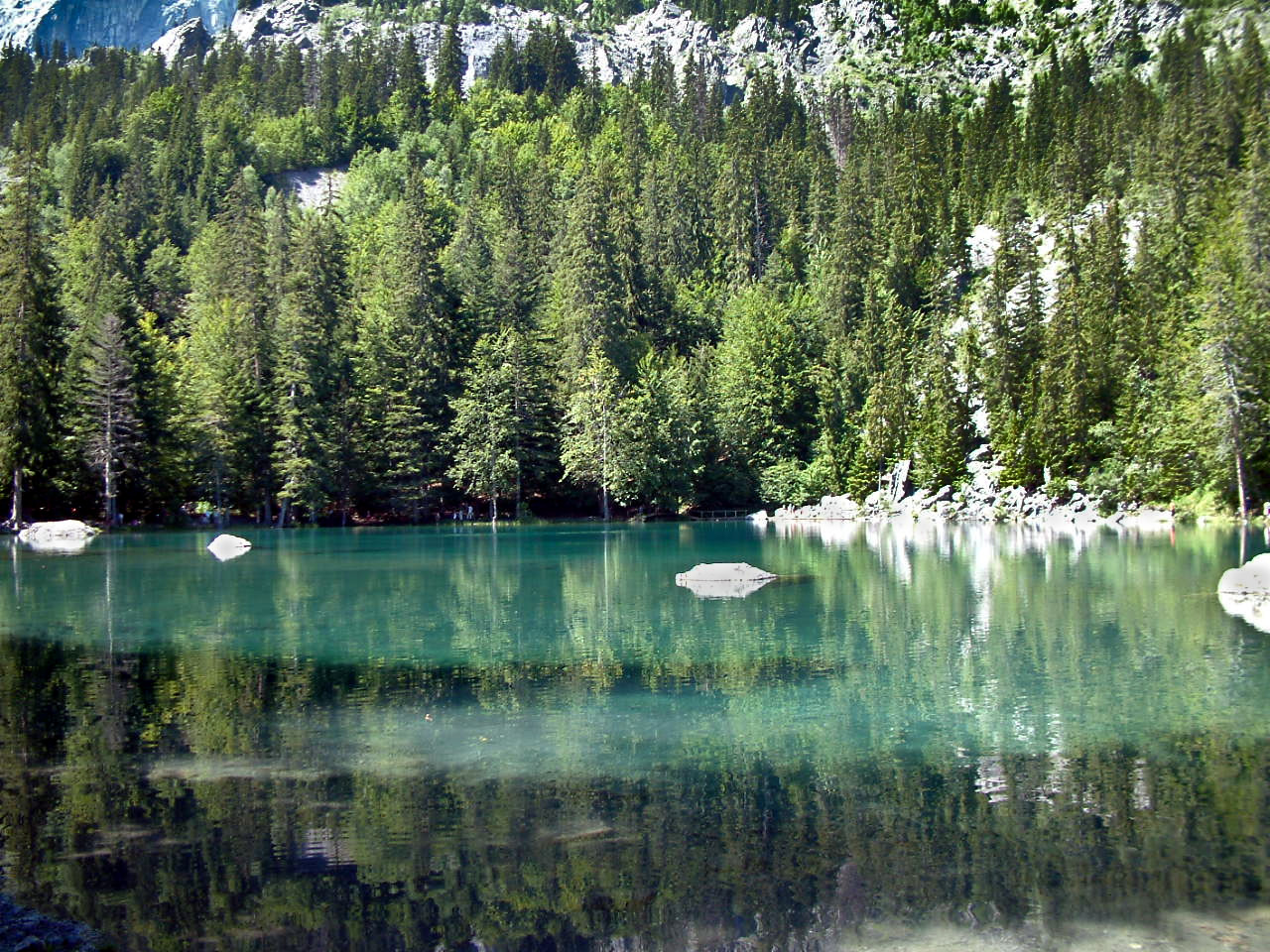
Hike along the Trois Gouilles trail, a gouille being a small body of water. In addition to the initial trail, a detour is added to the very beautiful Lac Vert.
Note that the climb is quite steep.

Already more than 200,000 users!
Uphill
452m
Highest point
1281m
Downhill
452m
Lowest point
840m
Route type
Loop
Download the map on your smartphone to save battery and rest assured to always keep access to the route, even without signal.
Includes IGN France and Swisstopo.
I indicate whether dogs are allowed or prohibited on this trail
Can be difficult in Winter
6 ratings
Also enjoy:

Already more than 200,000 users!