Uphill
645m
Length
11km
Duration
5h
Elev gain
645m
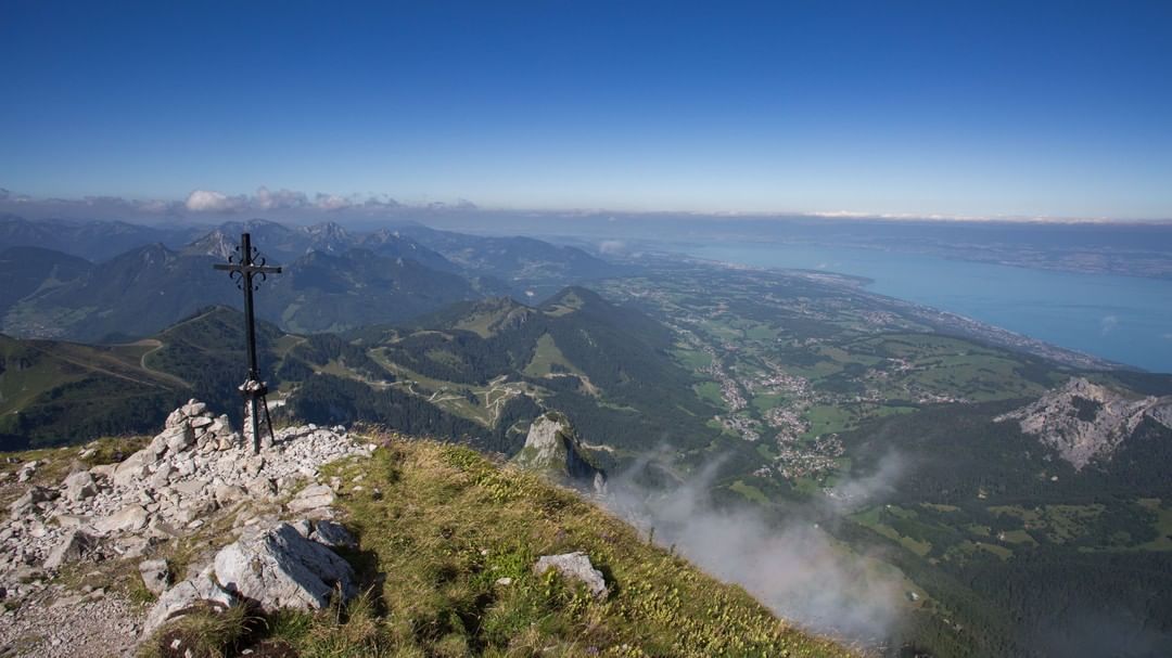
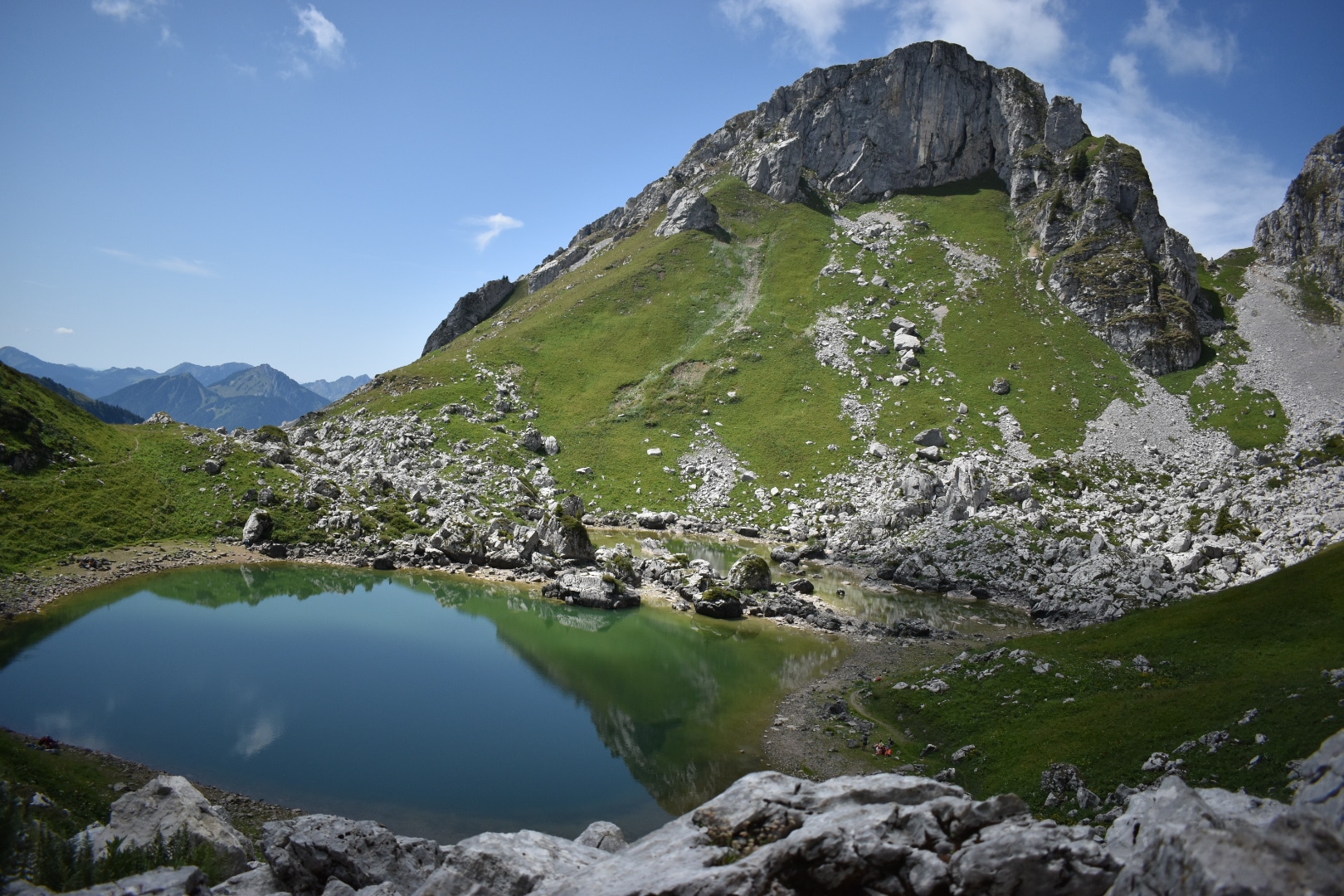
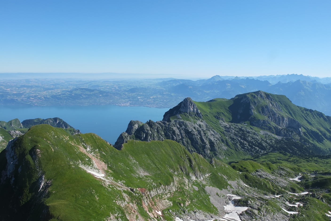
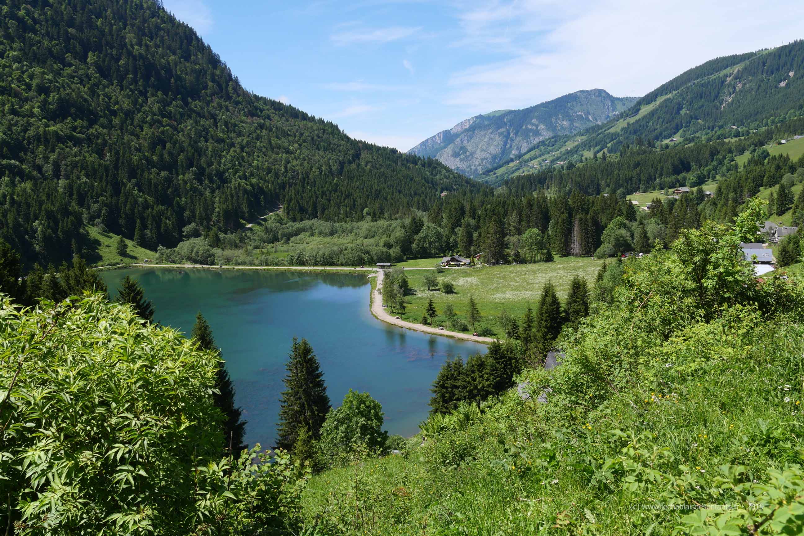
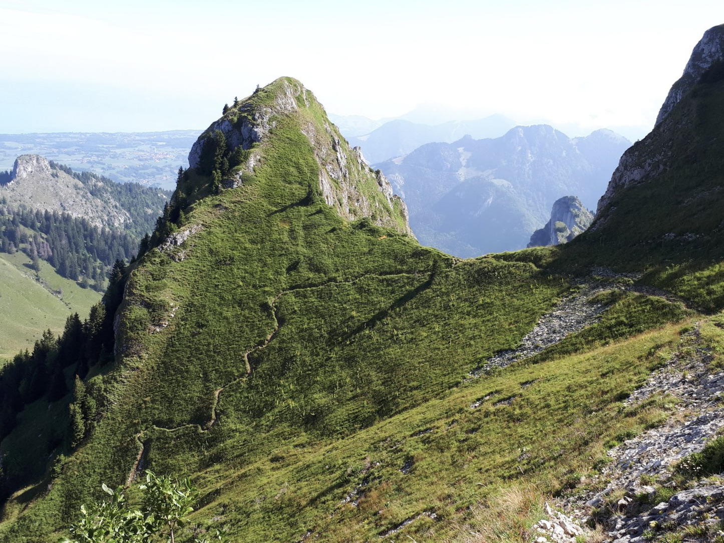
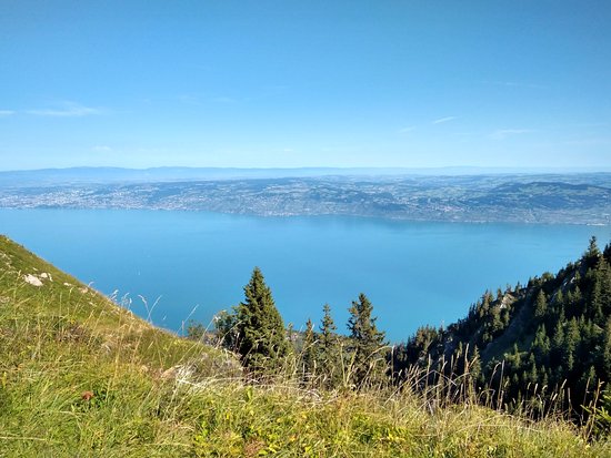
Located between Thonon-les-Bains and Montreux, this trail alternates between dense forest and crests, with magnificent views of Lake Geneva, the Chablais and the Jura mountains.

Already more than 200,000 users!
Uphill
645m
Highest point
1686m
Downhill
645m
Lowest point
1164m
Route type
Loop
Download the map on your smartphone to save battery and rest assured to always keep access to the route, even without signal.
Includes IGN France and Swisstopo.
I indicate whether dogs are allowed or prohibited on this trail
From May to October
4 ratings
Also enjoy:

Already more than 200,000 users!