Uphill
50m
Length
4km
Duration
1h
Elev gain
50m
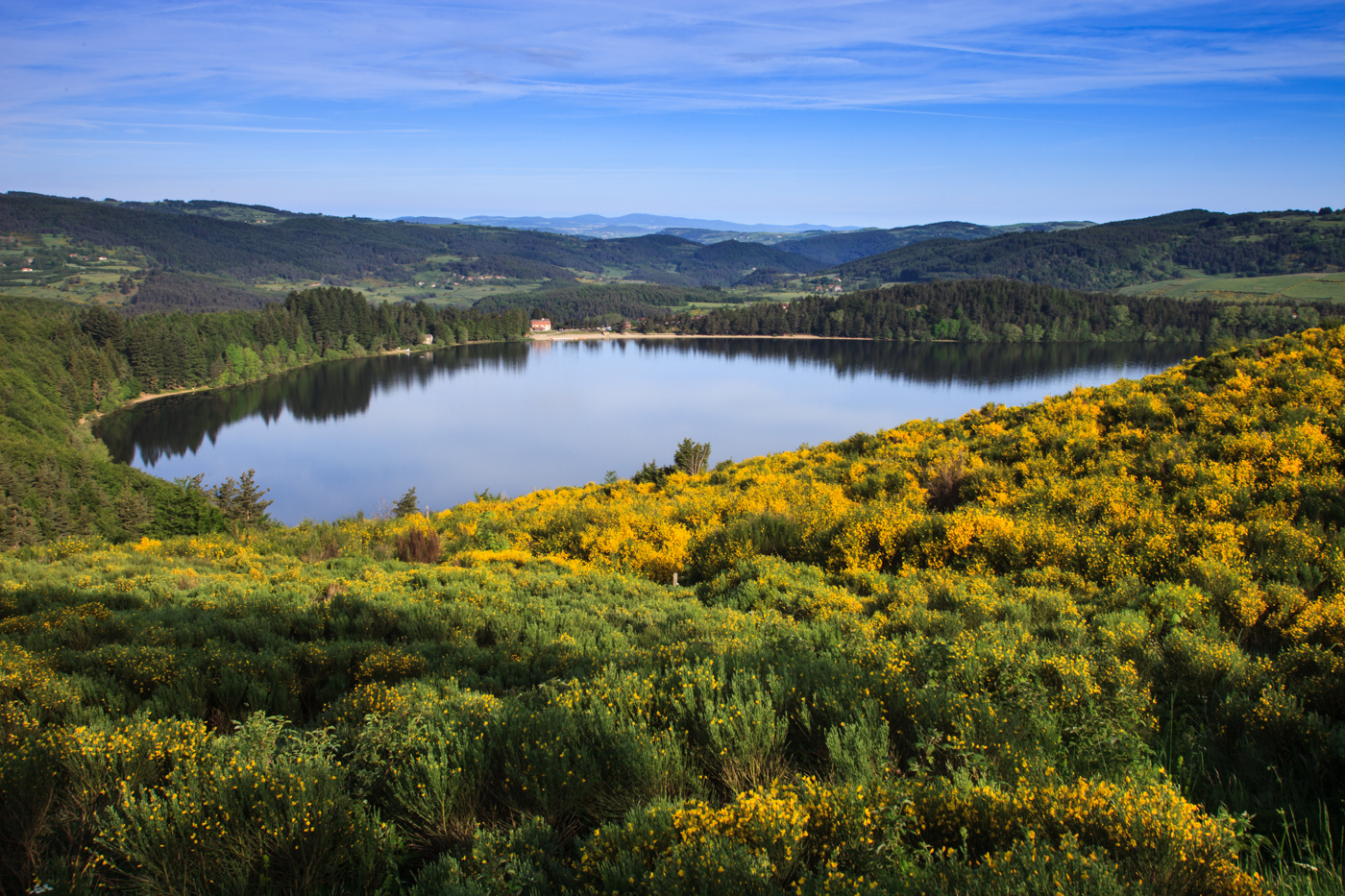
This route, signposted and shaded, follows a footpath around the lake of Issarlès. The water is clear and several beaches are present, making swimming pleasant in summer.

Already more than 200,000 users!
Uphill
50m
Highest point
1025m
Downhill
50m
Lowest point
996m
Route type
Loop
Download the map on your smartphone to save battery and rest assured to always keep access to the route, even without signal.
Includes IGN France and Swisstopo.
I indicate whether dogs are allowed or prohibited on this trail
All year
1 rating
Also enjoy:

Already more than 200,000 users!