Uphill
147m
Length
8km
Duration
2h30min
Elev gain
147m
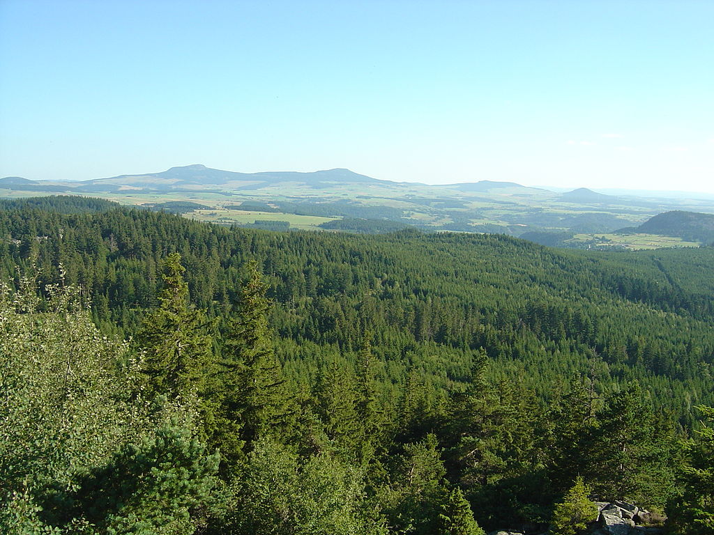
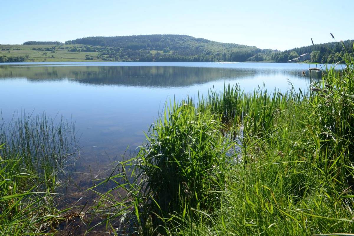
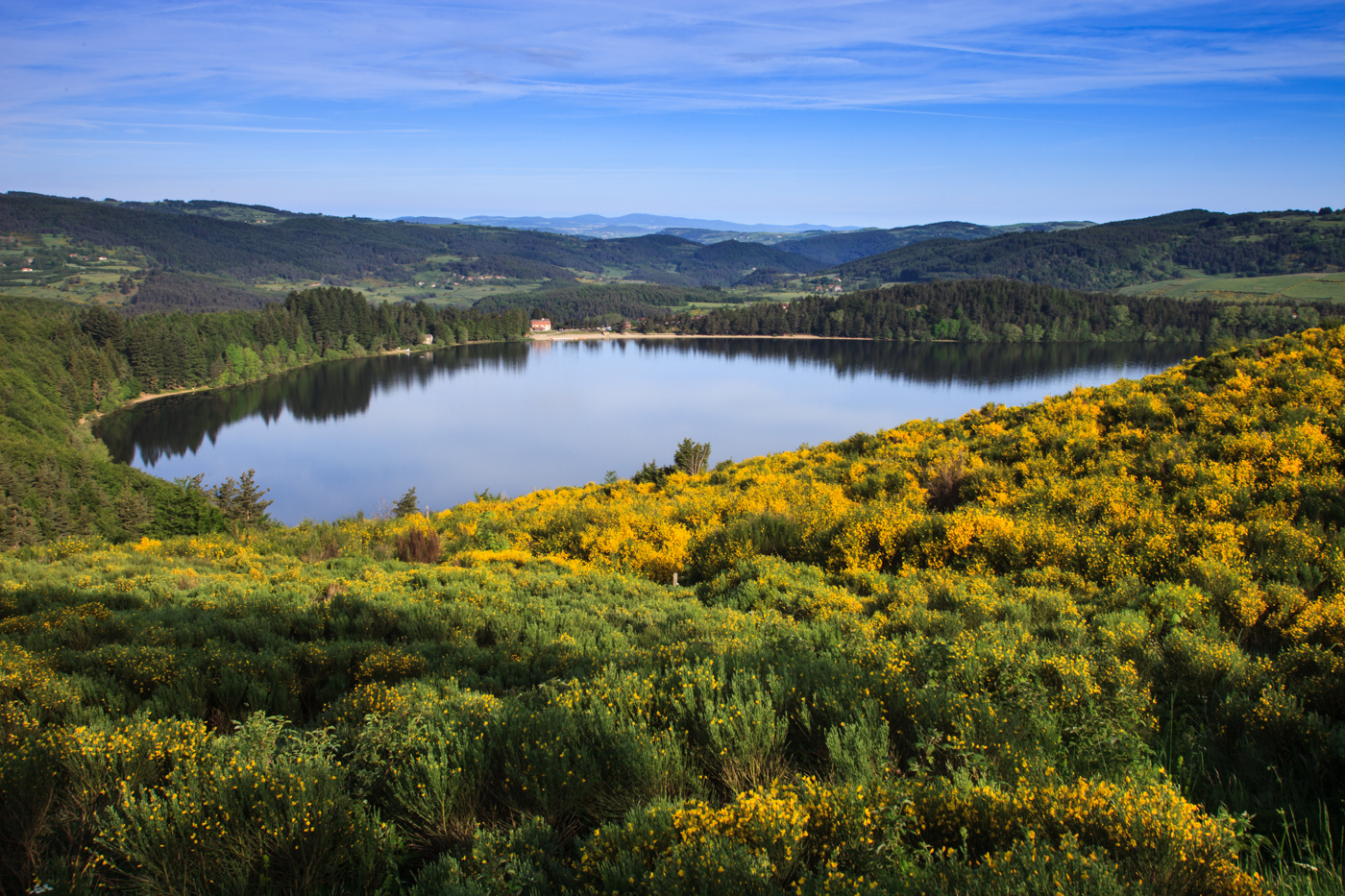
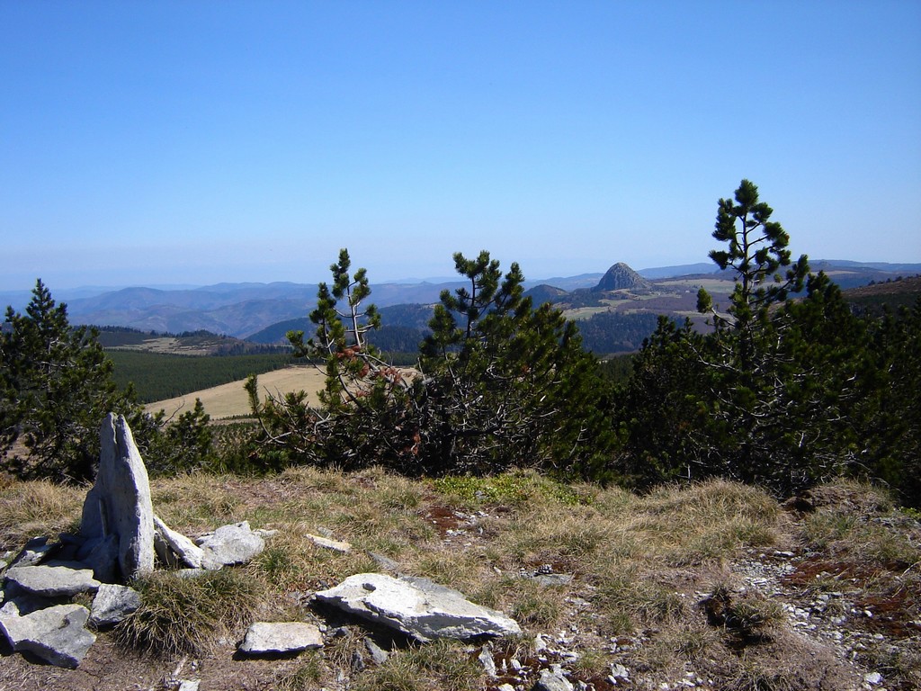
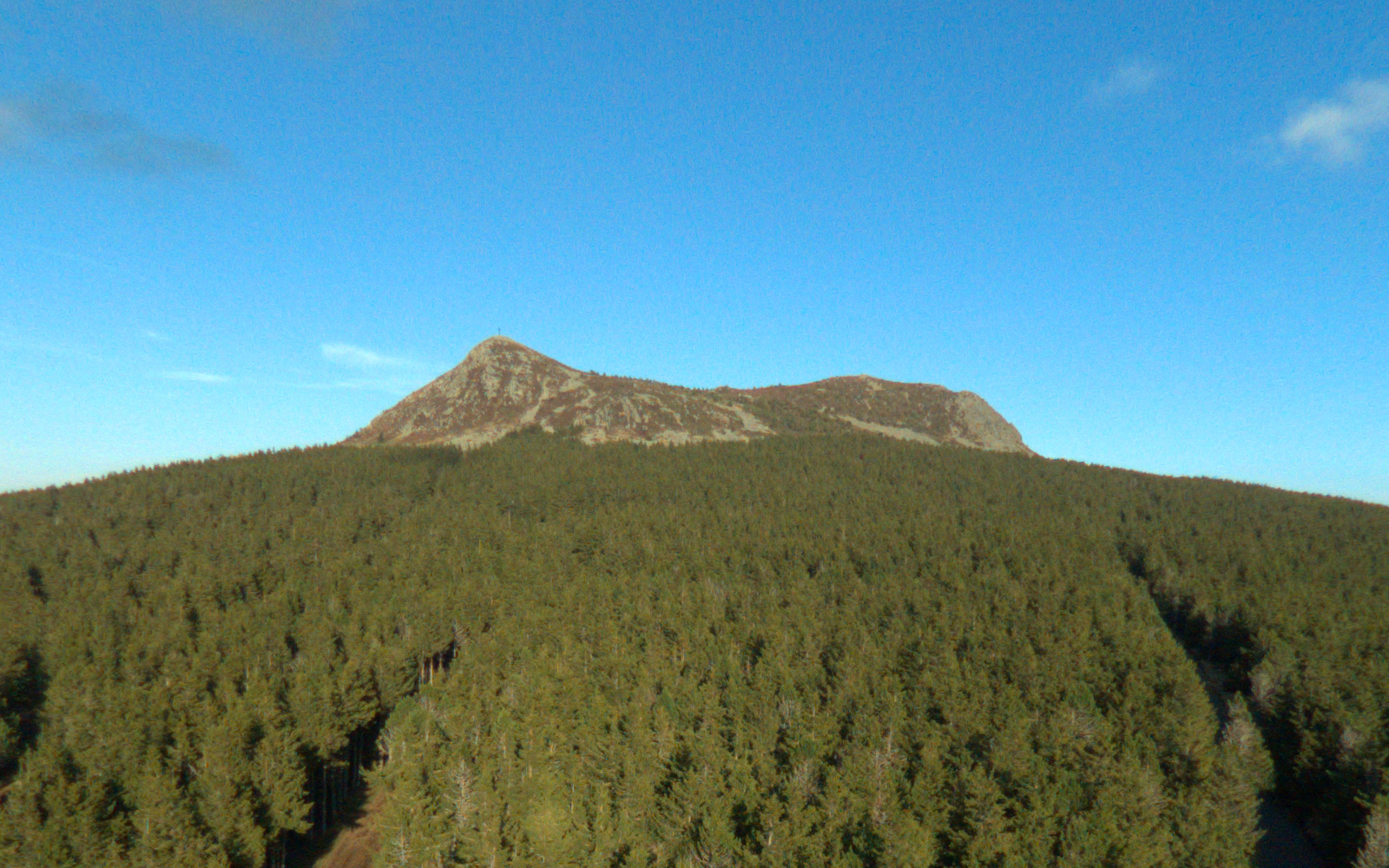
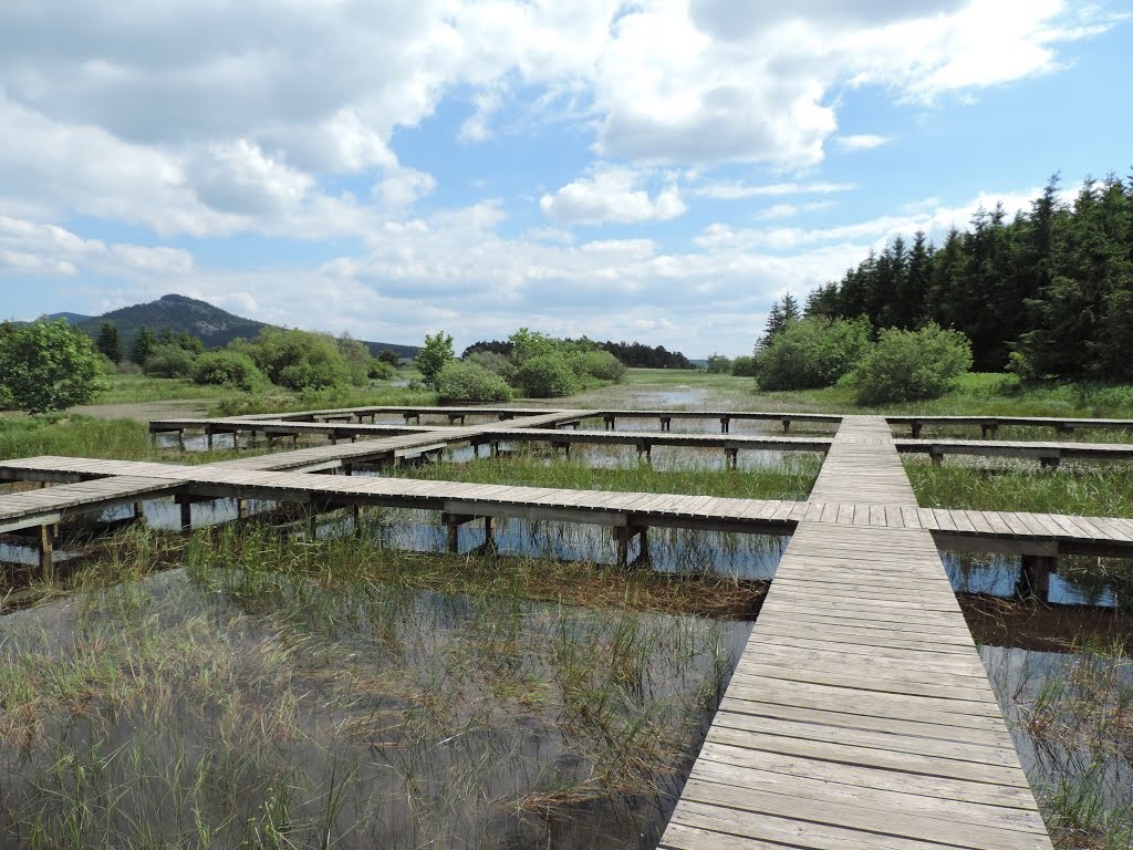
Departing from Freycenet-la-Tour, this loop route passes by the beautiful Barthes pond, decorated with numerous explanatory panels. The walk then continues on a narrower path, on the hillside and with superb views of the surroundings, before returning to the starting point.

Already more than 200,000 users!
Uphill
147m
Highest point
1215m
Downhill
147m
Lowest point
1068m
Route type
Loop
Download the map on your smartphone to save battery and rest assured to always keep access to the route, even without signal.
Includes IGN France and Swisstopo.
I indicate whether dogs are allowed or prohibited on this trail
Can be difficult in Winter
1 rating
Super, petite balade très agréable
Also enjoy:

Already more than 200,000 users!