Uphill
262m
Length
8km
Duration
2h30min
Elev gain
262m
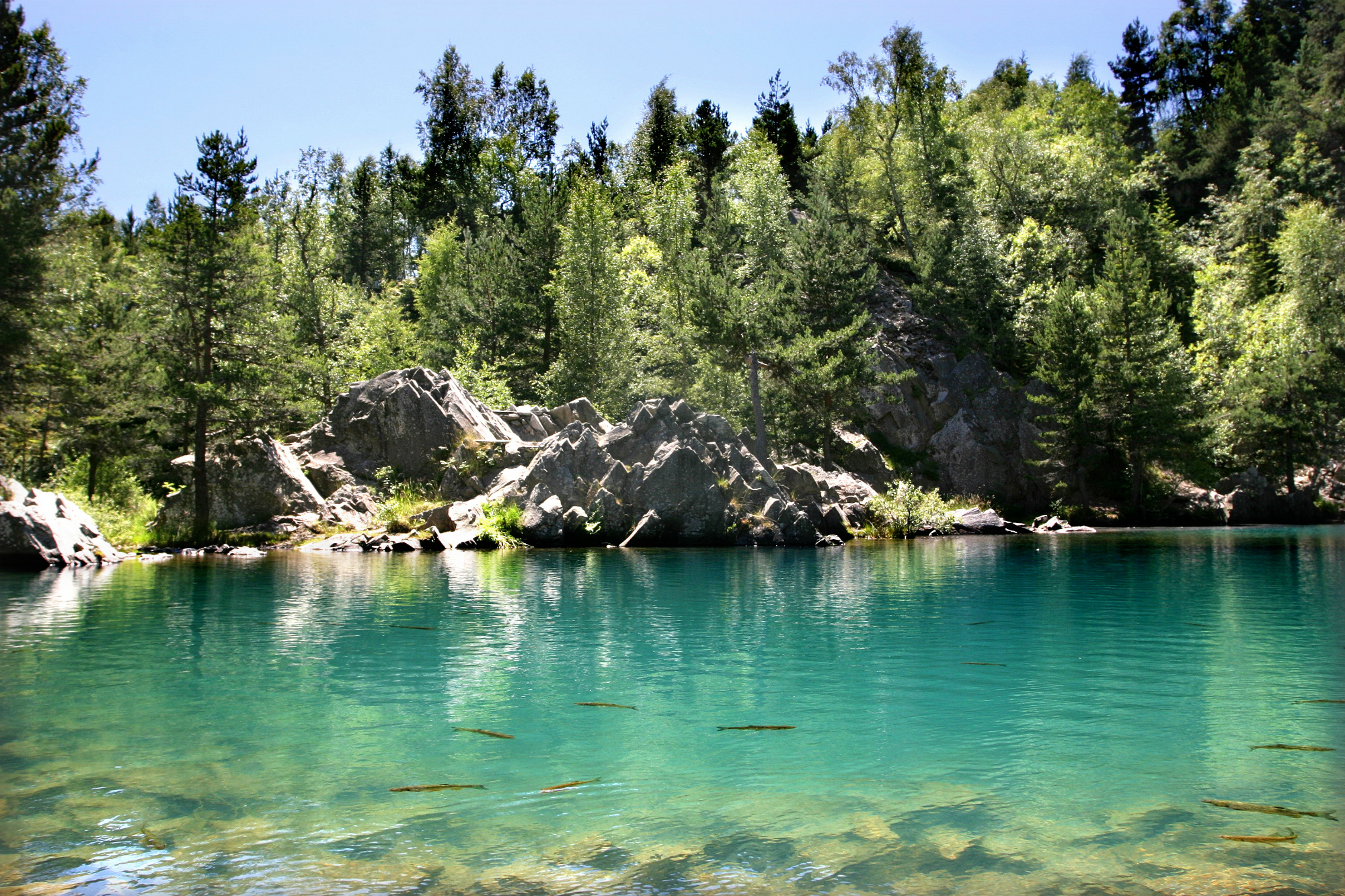
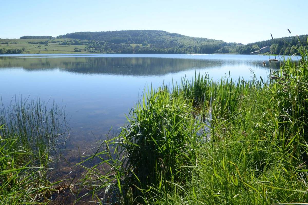
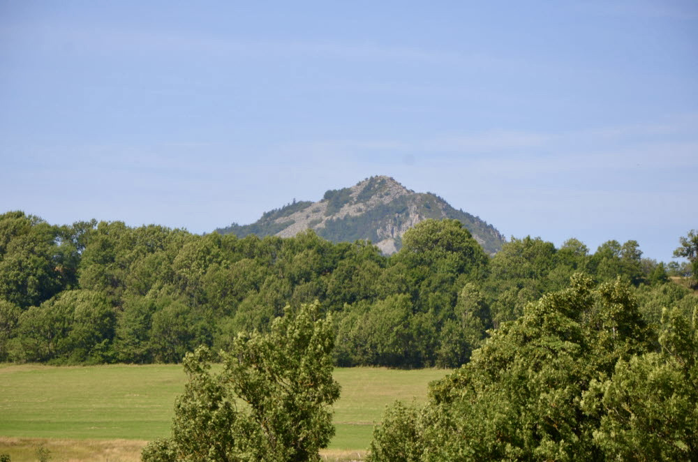
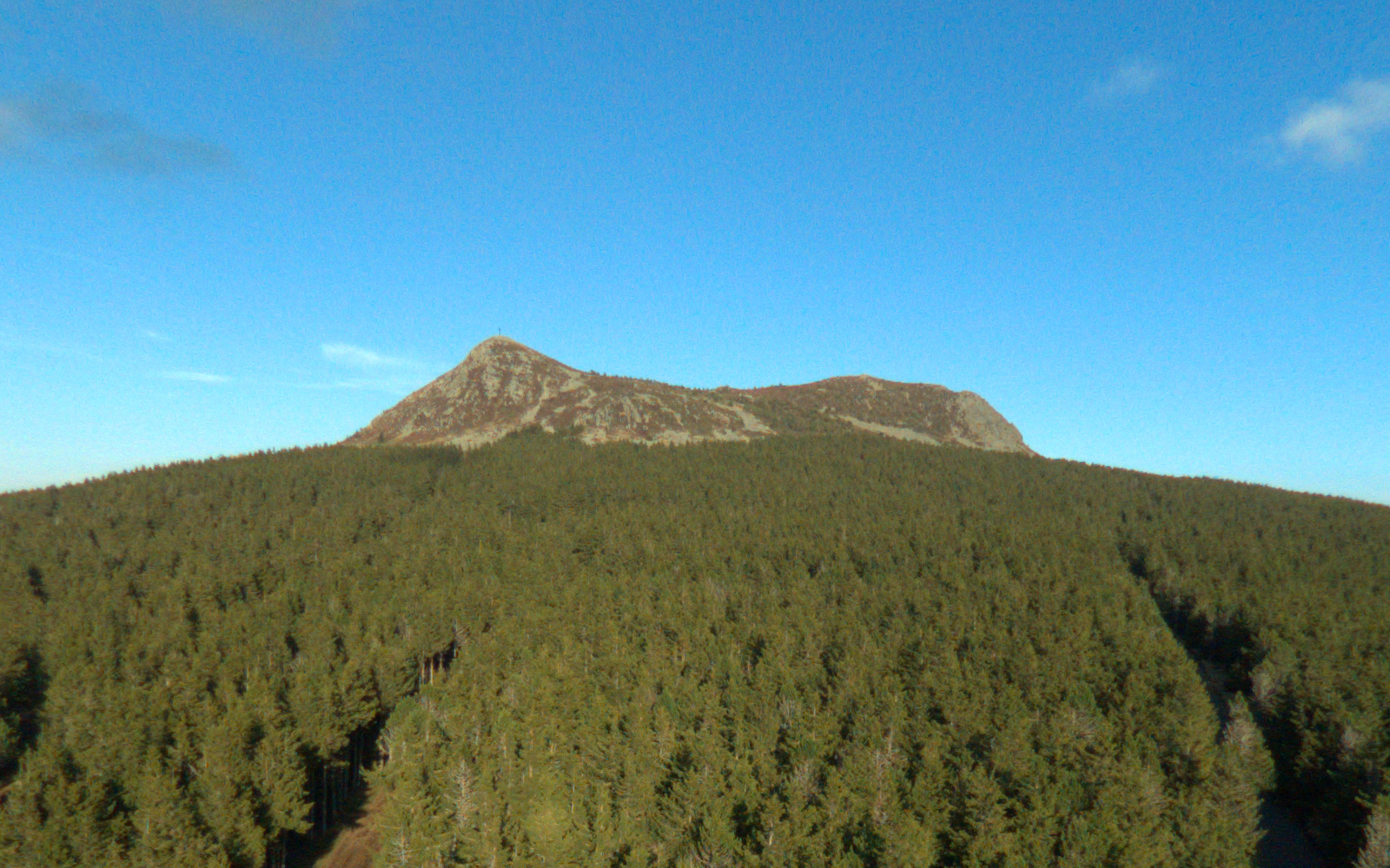
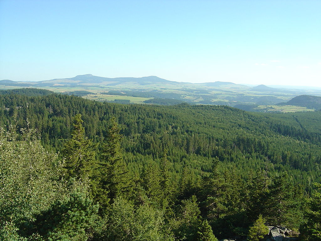
Departing from Boussoulet, this walk sets off to attack Testavoyre, a summit located at an altitude of 1,436 metres. Once at the top, take advantage of the pretty view of the Auvergne surroundings before resuming the path towards the starting point.
Note, however, that almost half of the walk is on a paved road.

Already more than 200,000 users!
Uphill
262m
Highest point
1434m
Downhill
262m
Lowest point
1197m
Route type
Loop
Download the map on your smartphone to save battery and rest assured to always keep access to the route, even without signal.
Includes IGN France and Swisstopo.
I indicate whether dogs are allowed or prohibited on this trail
Can be difficult in Winter
1 rating
Also enjoy:

Already more than 200,000 users!