Uphill
166m
Length
6km
Duration
2h
Elev gain
166m
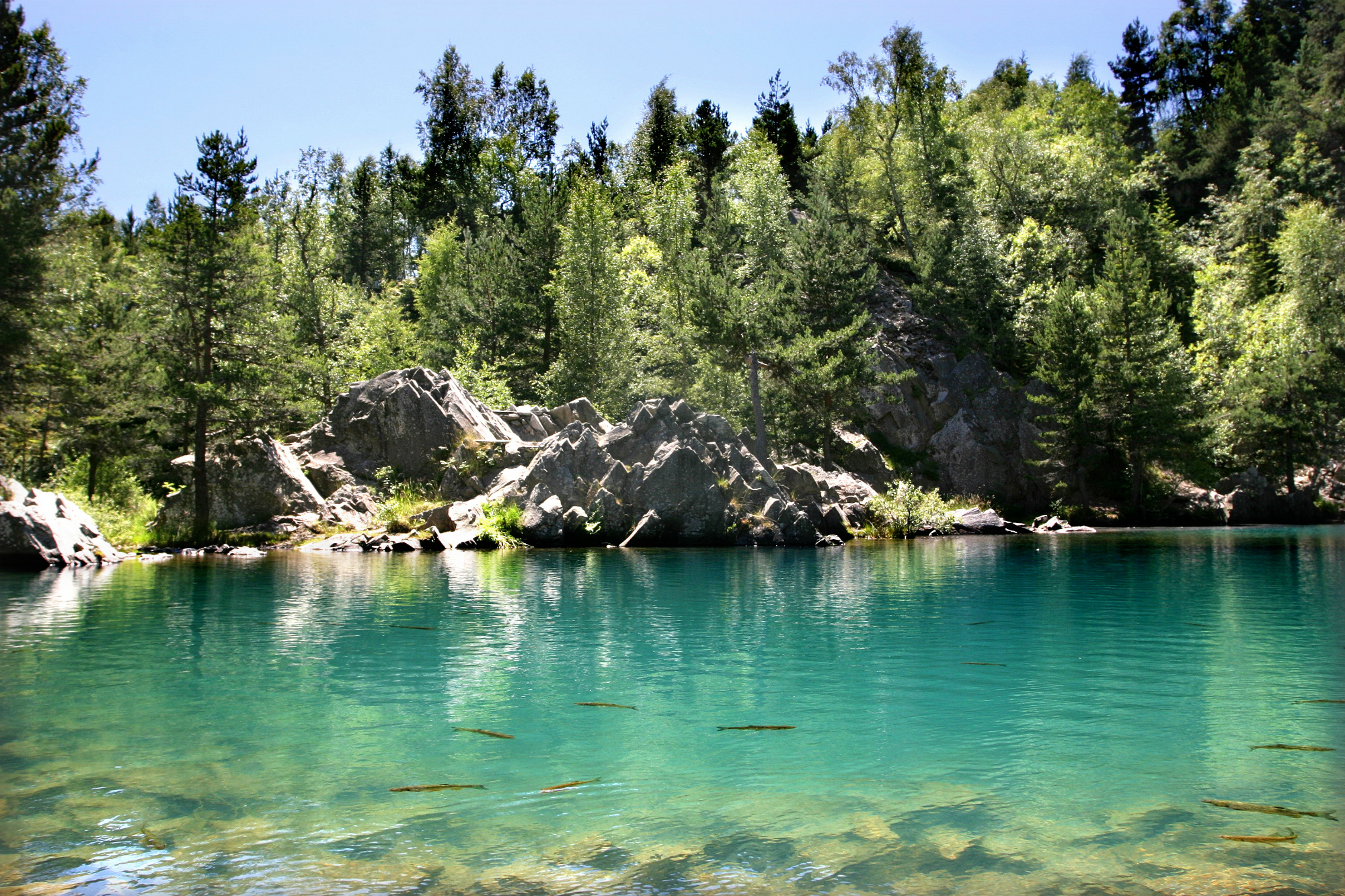
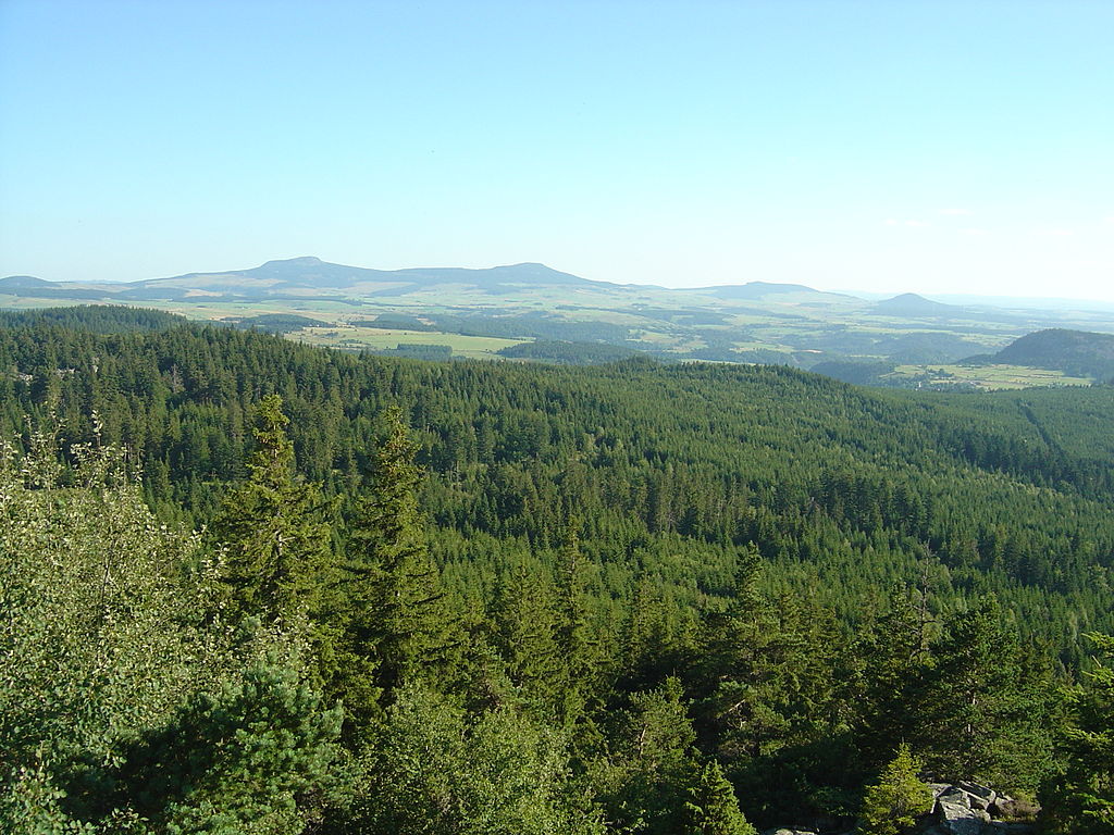
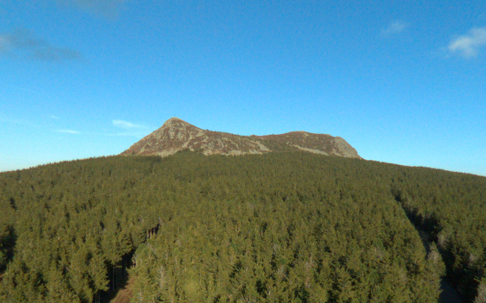
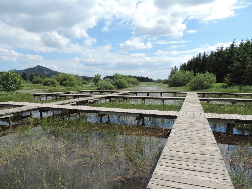
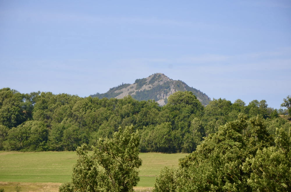
Here is a relatively short and easy hike, leading to the Pic du Lizieux (1388m) via the Bonas trail. The 360° panorama is superb, sometimes as far as the Pilat massif and the Alps.

Already more than 200,000 users!
Uphill
166m
Highest point
1372m
Downhill
166m
Lowest point
1196m
Route type
Loop
Download the map on your smartphone to save battery and rest assured to always keep access to the route, even without signal.
Includes IGN France and Swisstopo.
I indicate whether dogs are allowed or prohibited on this trail
Can be difficult in Winter
1 rating
Belle vue du point le plus..pas de grande difficulté..la descente est rendue plus difficile par temps humide..sol en ardoises et cailloux bonnes chaussures a prévoir .
Also enjoy:

Already more than 200,000 users!