Uphill
309m
Length
10km
Duration
3h30min
Elev gain
309m
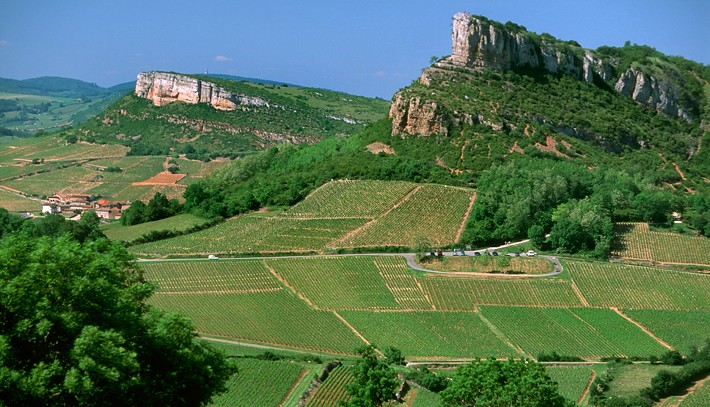
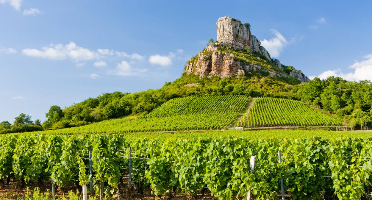
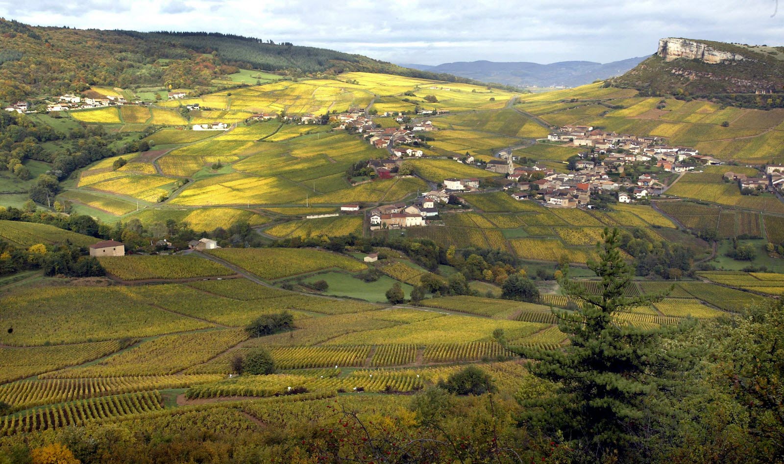
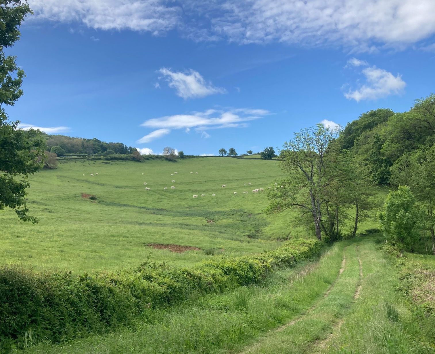
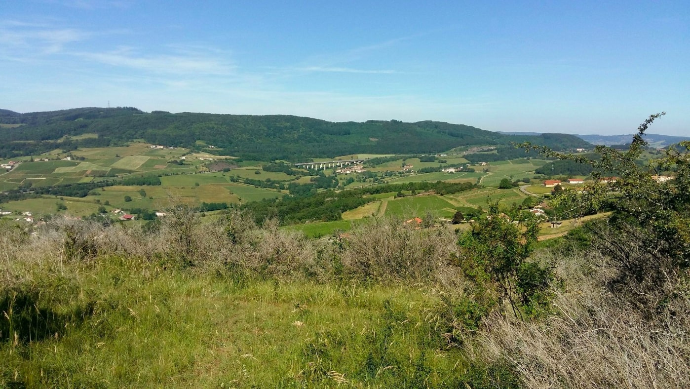
Departing from Berzé-la-Ville, this route makes a loop between forest, villages and fields, while passing by the point of view of the Coche rock (546 m). A walk that takes place in a very pleasant setting, to be done and redone without moderation!

Already more than 200,000 users!
Uphill
309m
Highest point
488m
Downhill
309m
Lowest point
261m
Route type
Loop
Download the map on your smartphone to save battery and rest assured to always keep access to the route, even without signal.
Includes IGN France and Swisstopo.
I indicate whether dogs are allowed or prohibited on this trail
All year
1 rating
Also enjoy:

Already more than 200,000 users!