Uphill
138m
Length
3km
Duration
1h
Elev gain
138m
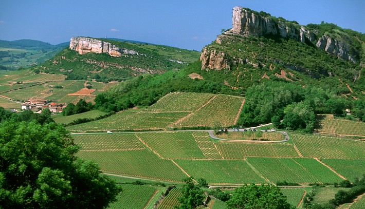
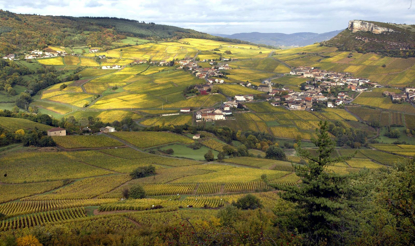
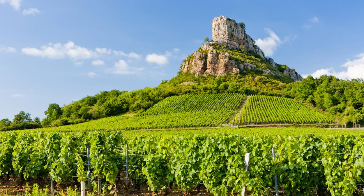
Pretty walk to the famous rock of Solutré, overlooking the town of Solutré-Pouilly. The route climbs up to the rock, classified as a Grand Site de France, where the view is breathtaking.

Already more than 200,000 users!
Uphill
138m
Highest point
466m
Downhill
138m
Lowest point
380m
Route type
There and back
Download the map on your smartphone to save battery and rest assured to always keep access to the route, even without signal.
Includes IGN France and Swisstopo.
I indicate whether dogs are allowed or prohibited on this trail
All year
1 rating
Also enjoy:

Already more than 200,000 users!