Uphill
64m
Length
7km
Duration
2h
Elev gain
64m
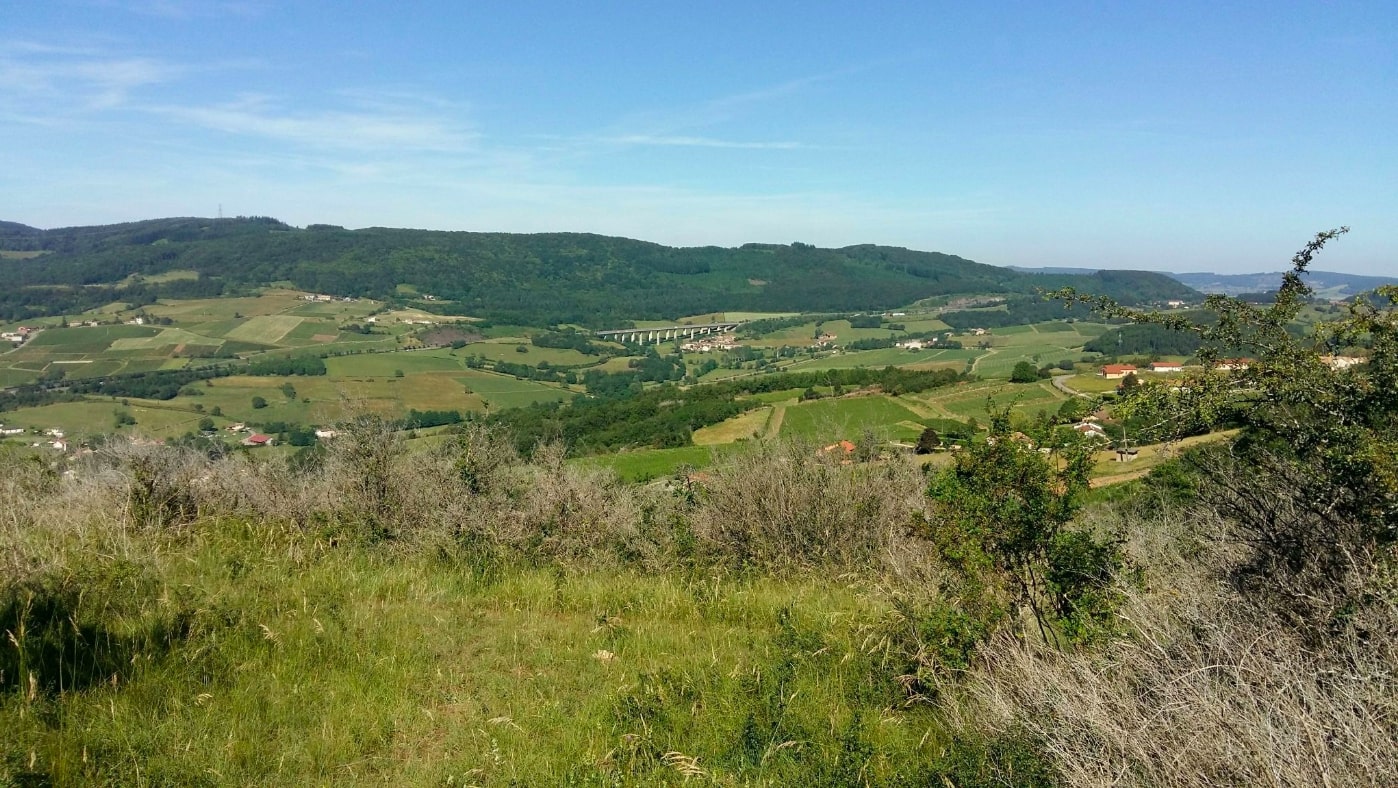
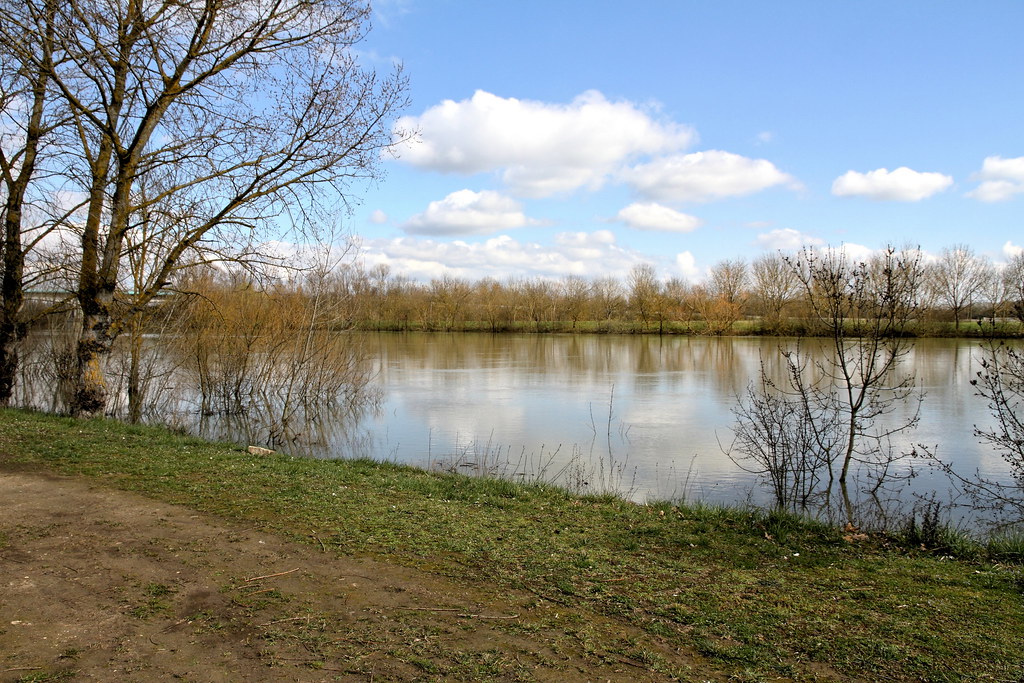
This walk goes around Saint-Laurent-sur-Saône, an island created by the town's bypass canal, and separated from Mâcon by the Saône. The path alternates between undergrowth, meadows, and residential areas.

Already more than 200,000 users!
Uphill
64m
Highest point
188m
Downhill
64m
Lowest point
141m
Route type
Loop
Download the map on your smartphone to save battery and rest assured to always keep access to the route, even without signal.
Includes IGN France and Swisstopo.
I indicate whether dogs are allowed or prohibited on this trail
All year
1 rating
Also enjoy:

Already more than 200,000 users!