Uphill
295m
France > Bourgogne-Franche-Comté > Yonne > Morvan Regional Natural Park
Length
11km
Duration
3h30min
Elev gain
295m
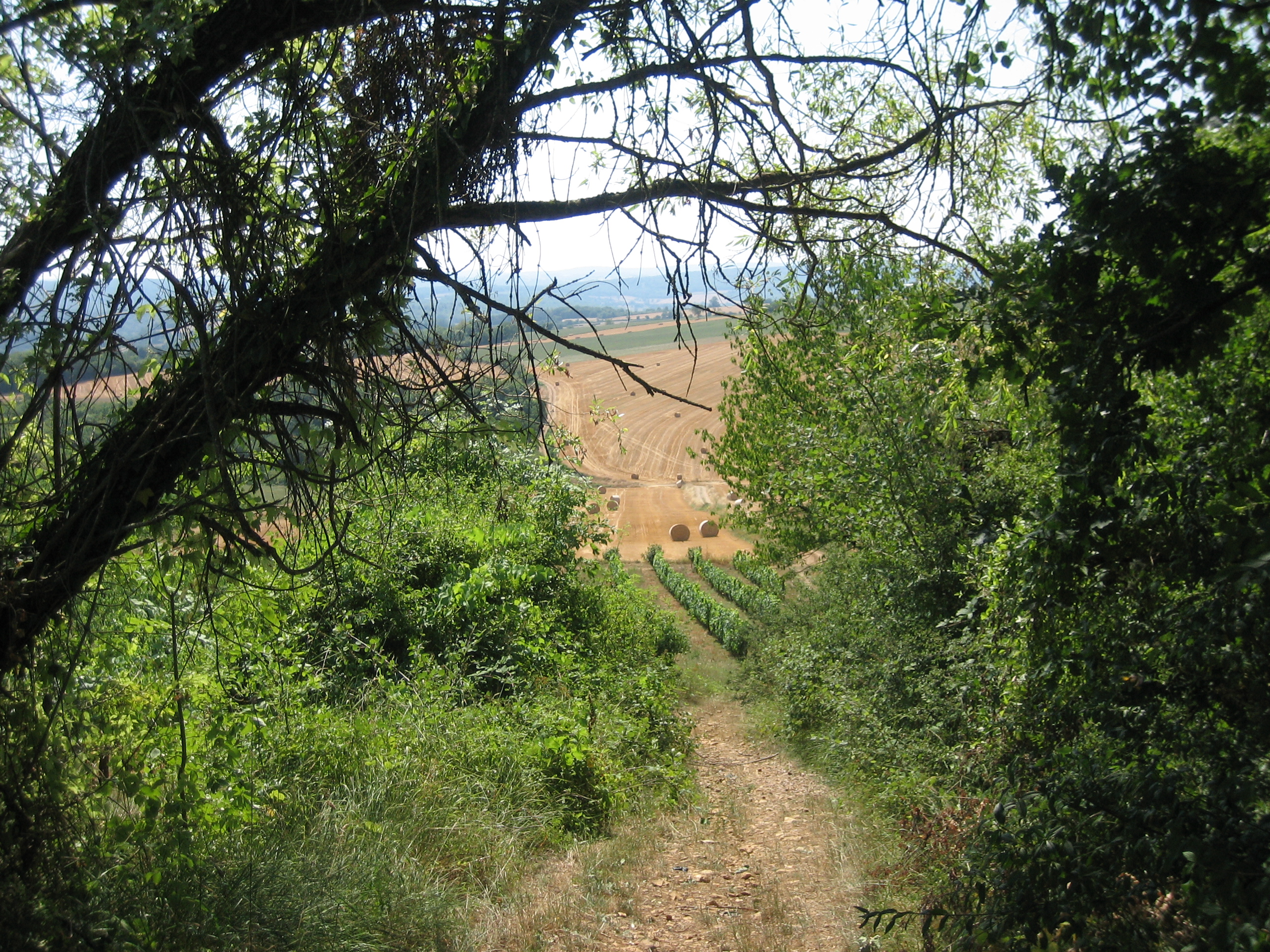
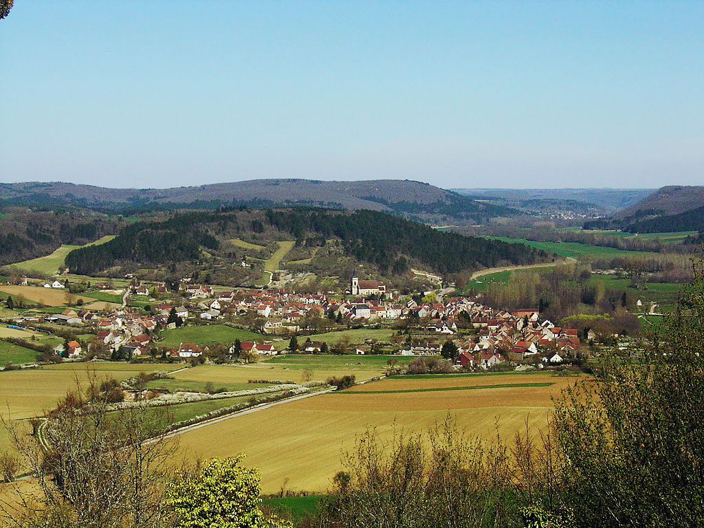
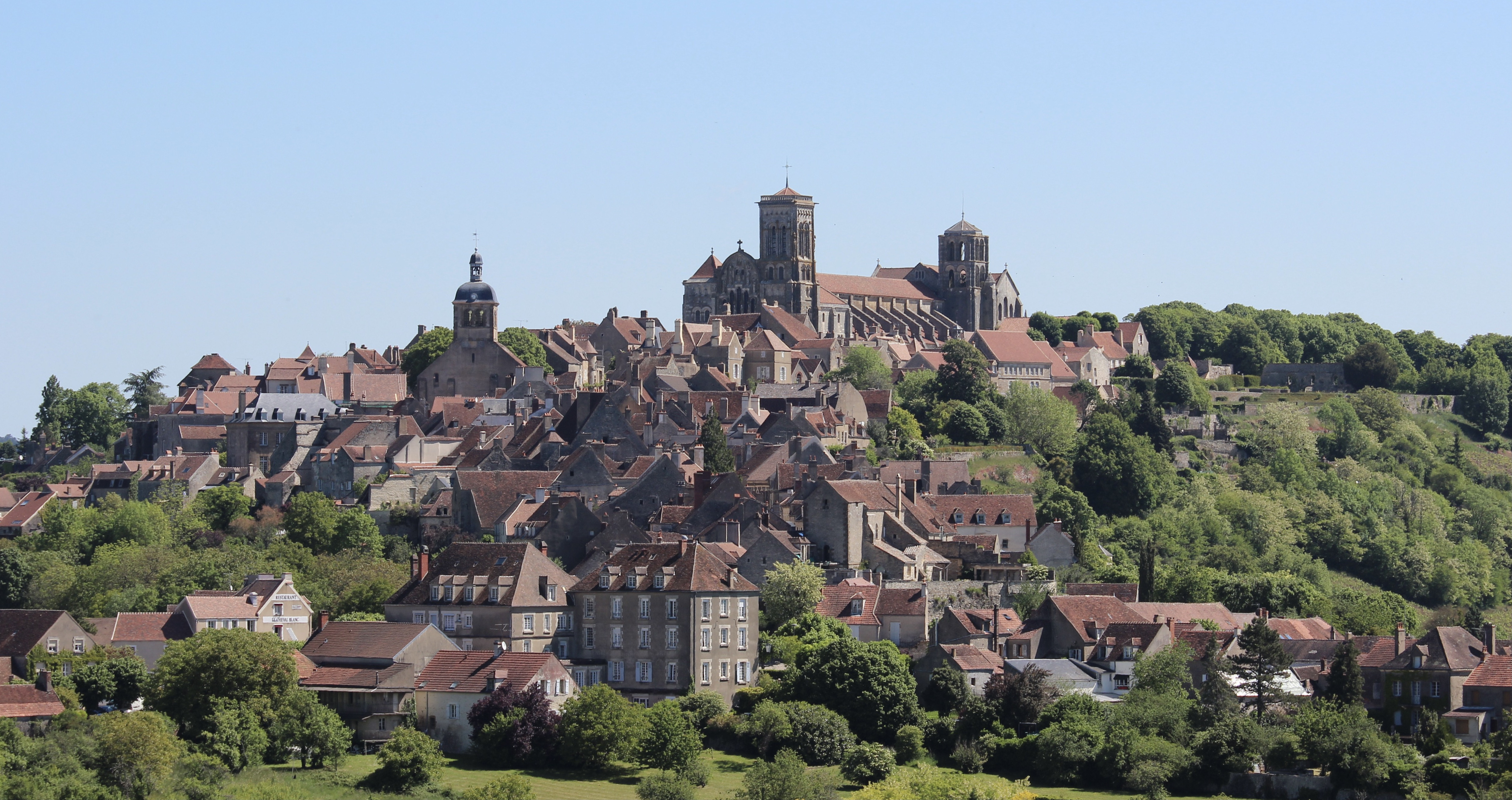
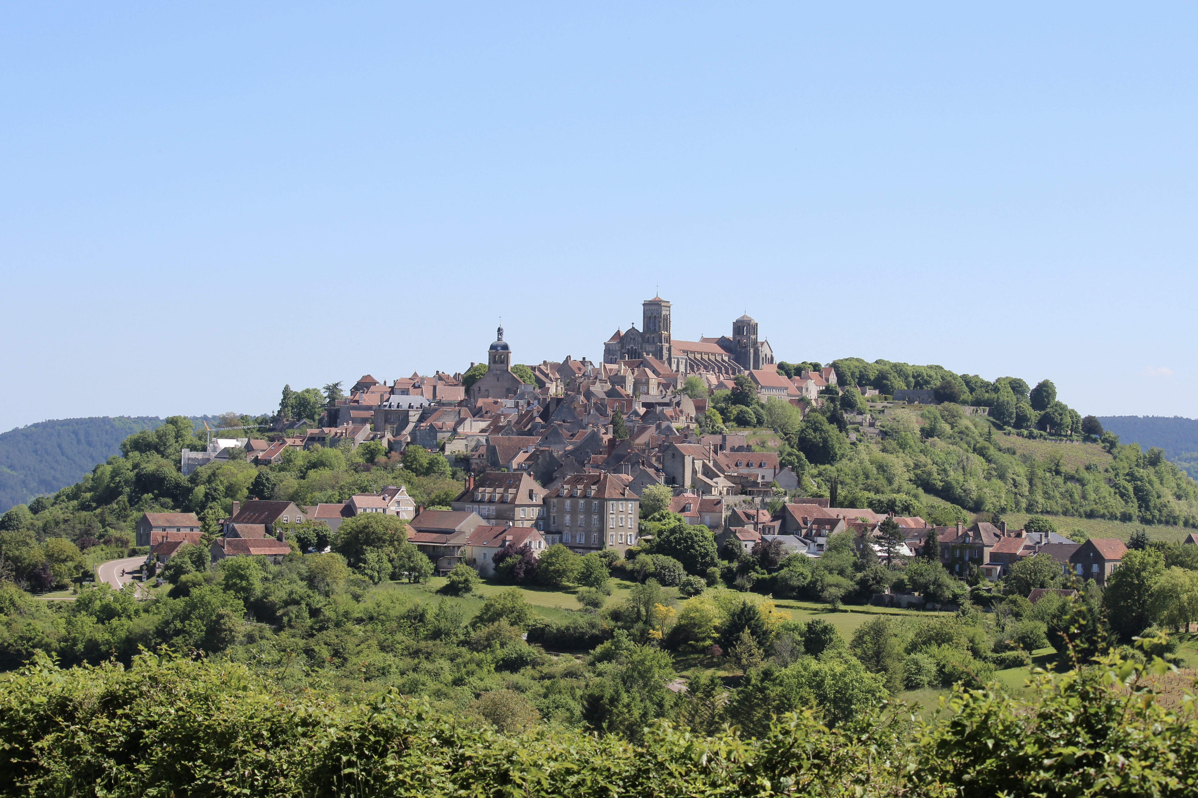
Leaving from Saint-Père, this hike makes a loop in the surrounding area. The path crosses fields and undergrowth, passes by Mount Liboeuf, then joins Vézelay overlooked by its beautiful basilica.

Already more than 200,000 users!
Uphill
295m
Highest point
279m
Downhill
295m
Lowest point
138m
Route type
Loop
Download the map on your smartphone to save battery and rest assured to always keep access to the route, even without signal.
Includes IGN France and Swisstopo.
I indicate whether dogs are allowed or prohibited on this trail
All year
0 ratings
Also enjoy:

Already more than 200,000 users!