Uphill
194m
France > Bourgogne-Franche-Comté > Yonne > Morvan Regional Natural Park
Length
11km
Duration
3h30min
Elev gain
194m
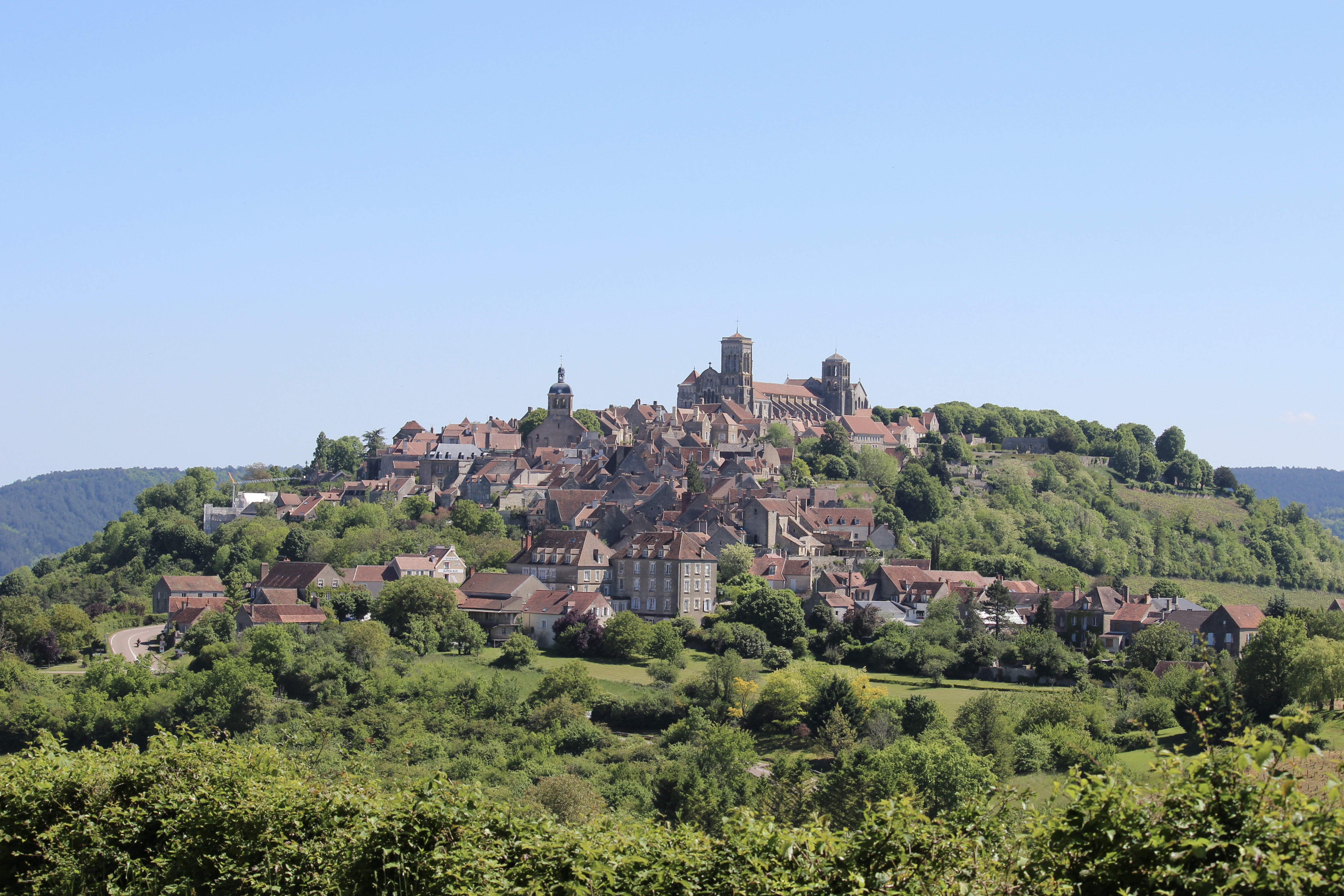
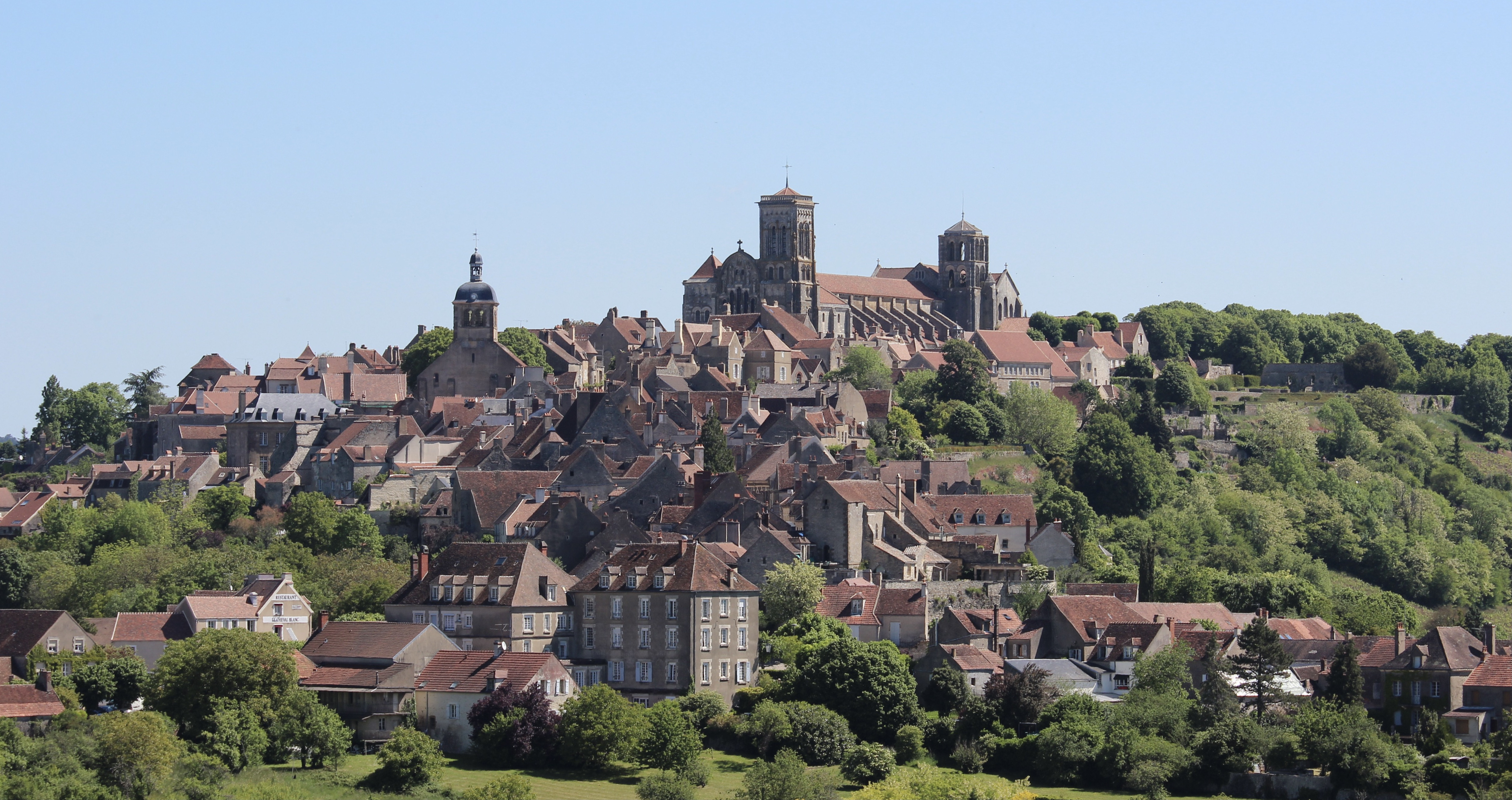
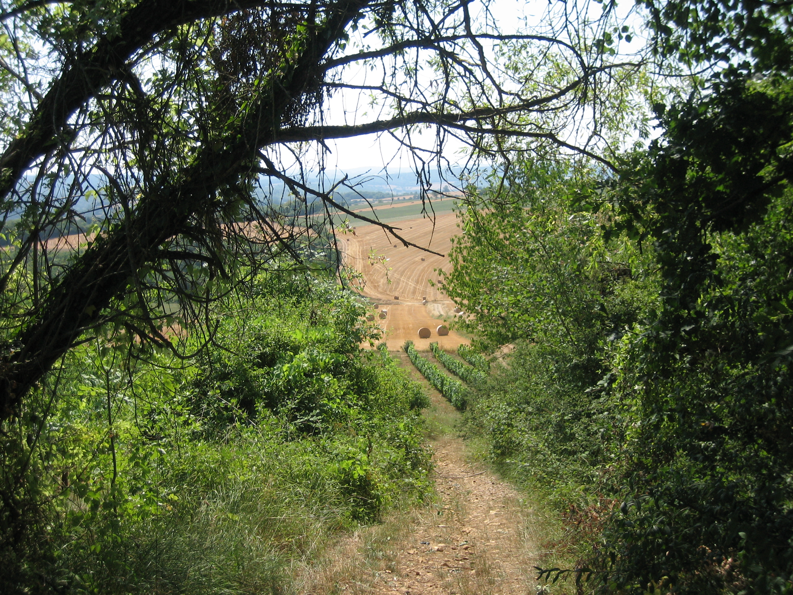
The start of this hike is on the banks of the Cure, in Saint-Père. The route quickly leaves the village, alternating between undergrowth and fields, and offers lovely views of Vézelay and its basilica.

Already more than 200,000 users!
Uphill
194m
Highest point
299m
Downhill
194m
Lowest point
137m
Route type
Loop
Download the map on your smartphone to save battery and rest assured to always keep access to the route, even without signal.
Includes IGN France and Swisstopo.
I indicate whether dogs are allowed or prohibited on this trail
All year
0 ratings
Also enjoy:

Already more than 200,000 users!