Uphill
331m

Length
11km
Duration
3h30min
Elev gain
331m
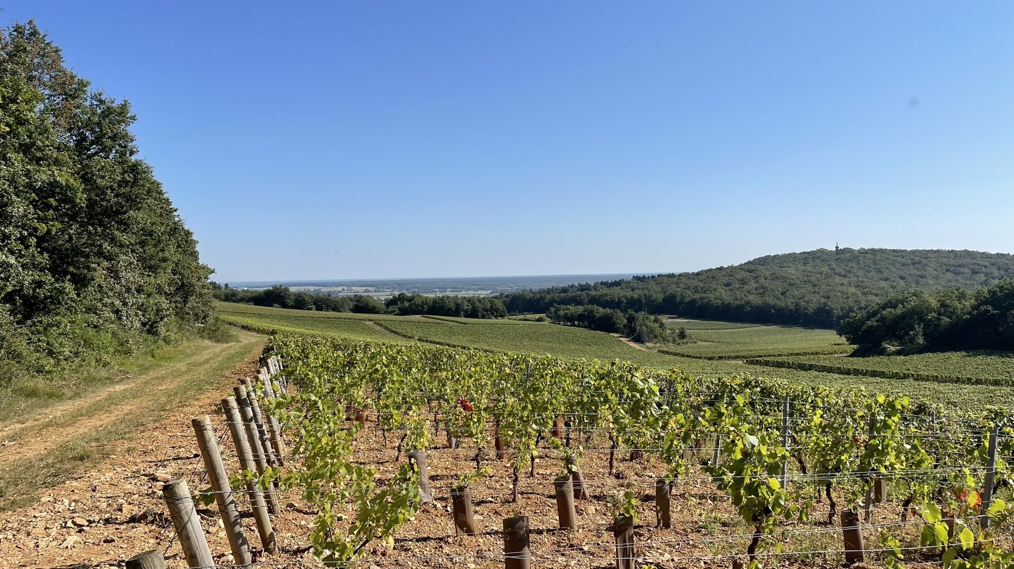
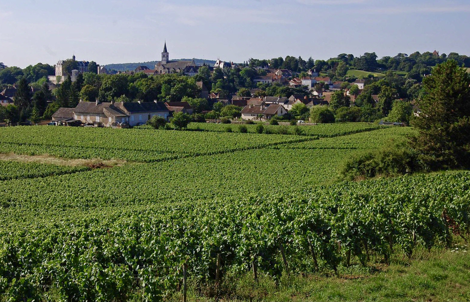
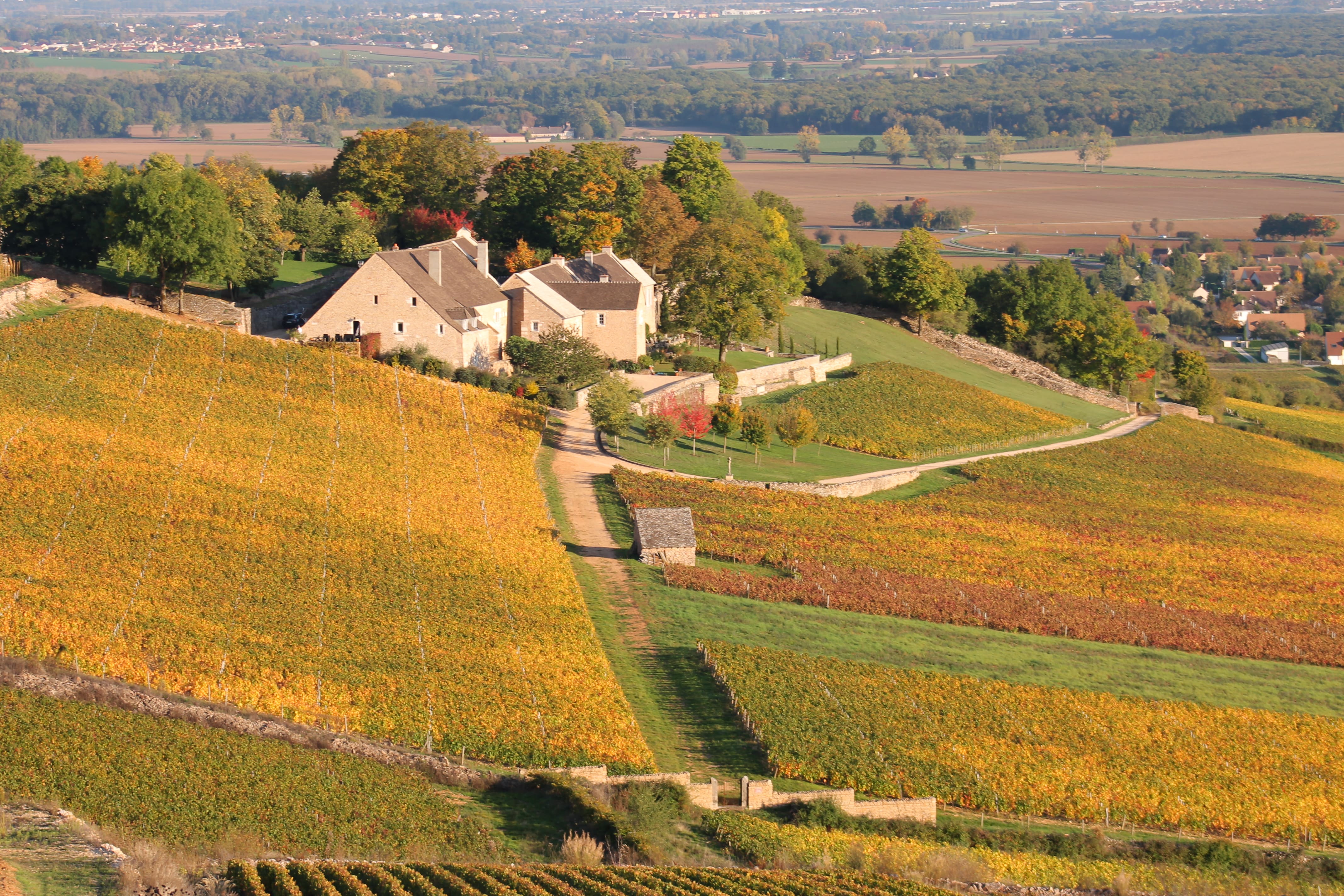
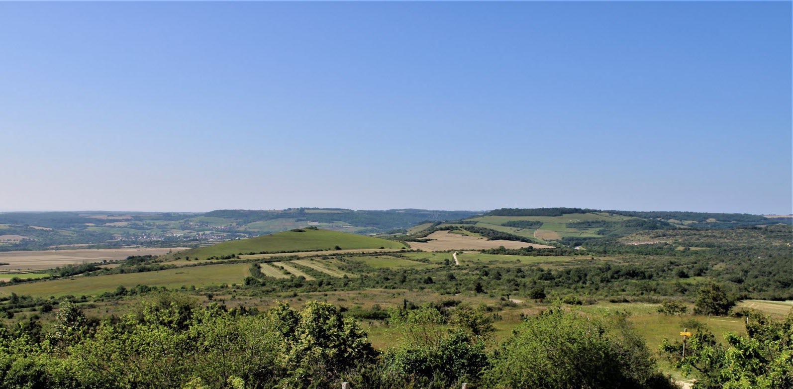
Nice little walk around the town of Mercurey. The course makes a loop on pleasant paths, between vineyards and forest.

Already more than 200,000 users!
Uphill
331m
Highest point
406m
Downhill
331m
Lowest point
238m
Route type
Loop
Download the map on your smartphone to save battery and rest assured to always keep access to the route, even without signal.
Includes IGN France and Swisstopo.
I indicate whether dogs are allowed or prohibited on this trail
All year
0 ratings
Also enjoy:

Already more than 200,000 users!