Uphill
172m
Length
6km
Duration
2h
Elev gain
172m
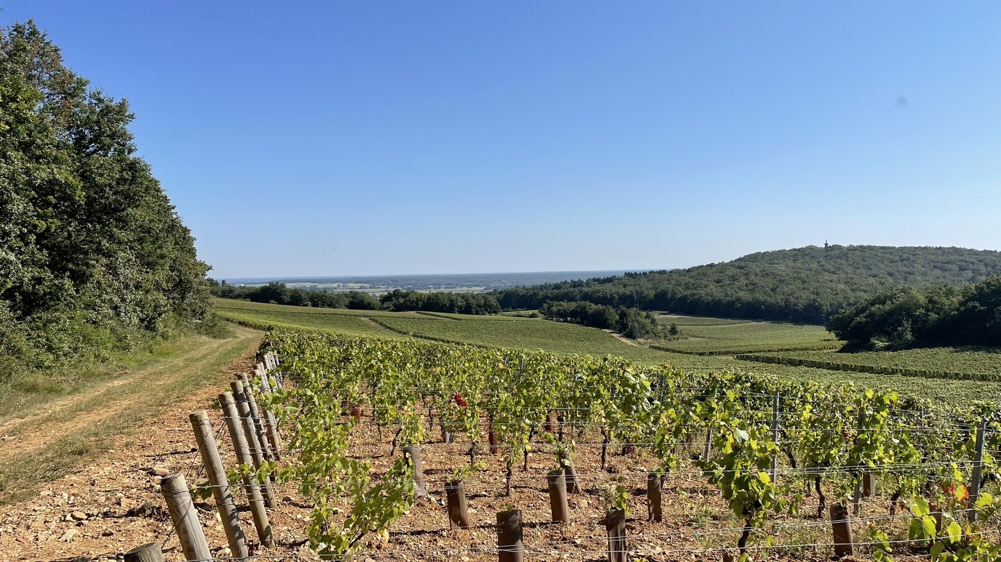
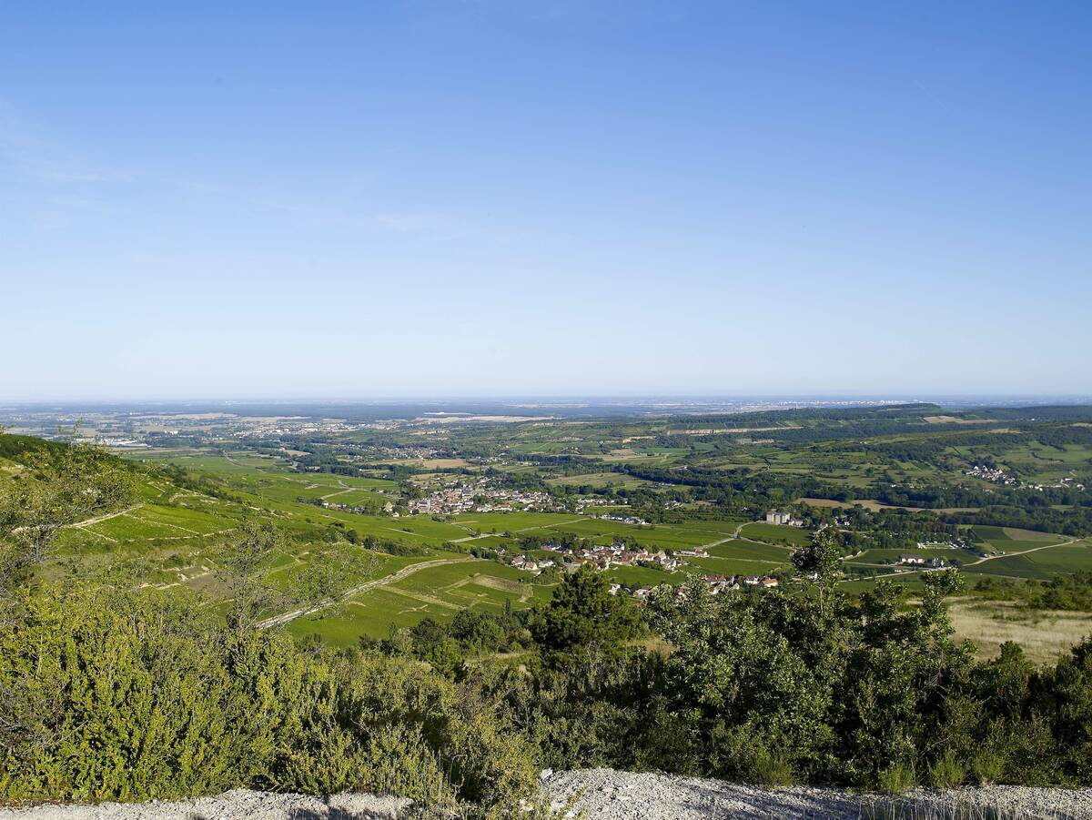
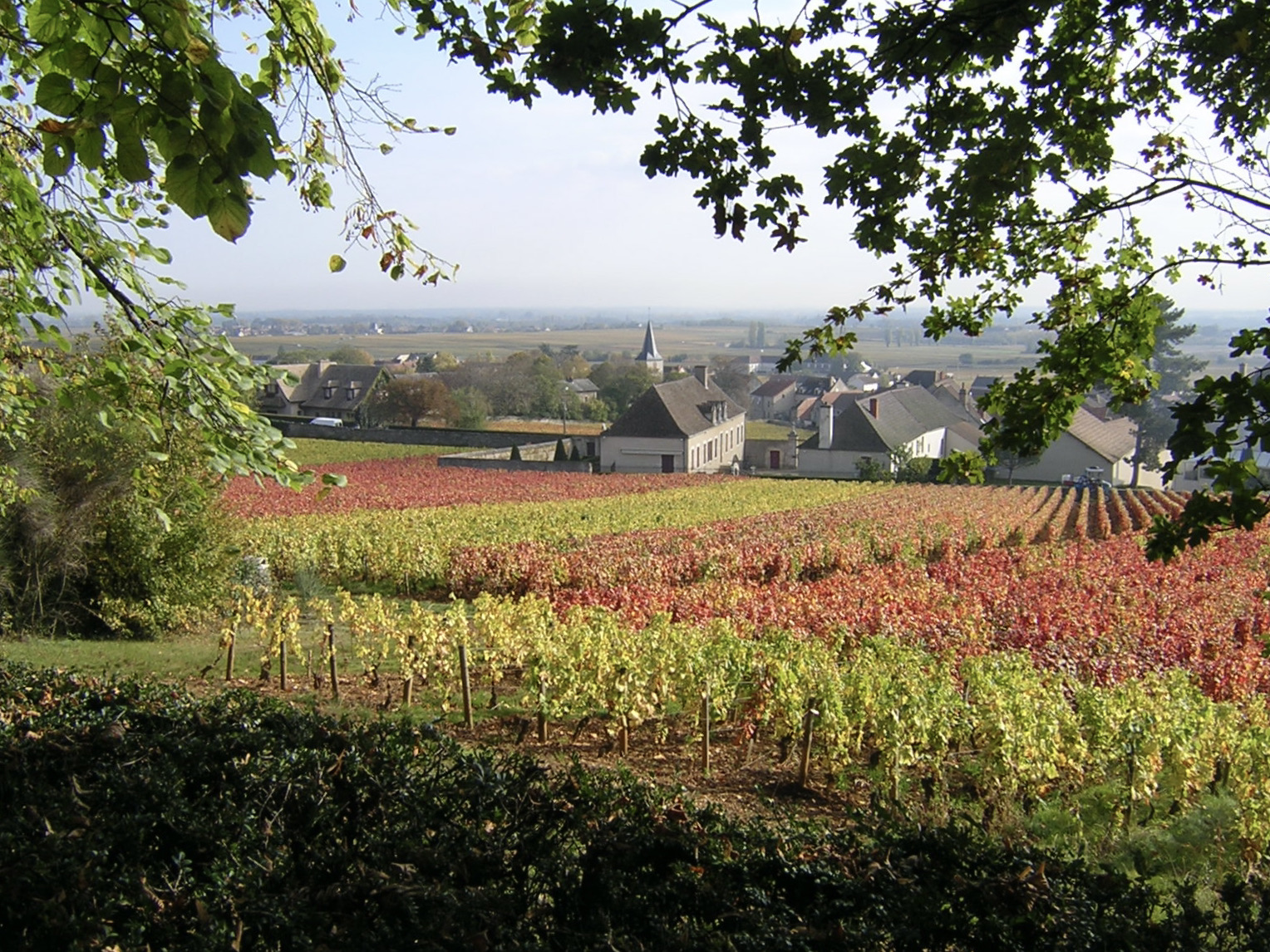
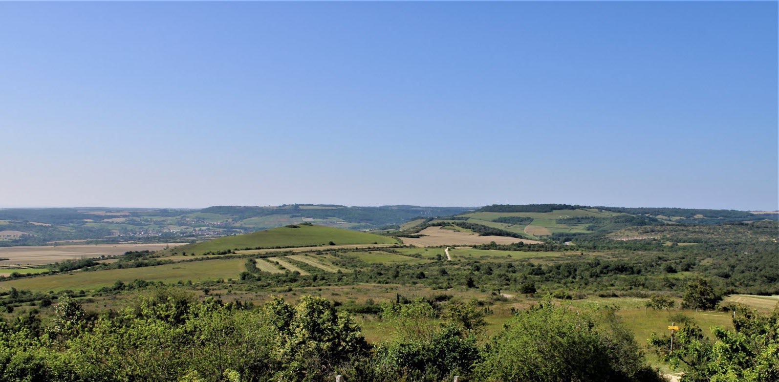
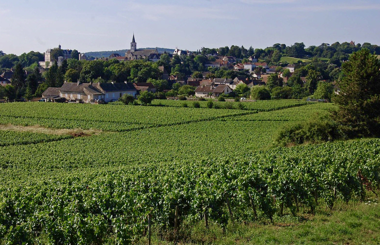
Departing from Rully, this hike makes a loop in the middle of the vineyards, passes through the charming village of Agneux, and climbs the mountain of La Folie.

Already more than 200,000 users!
Uphill
172m
Highest point
387m
Downhill
172m
Lowest point
221m
Route type
Loop
Download the map on your smartphone to save battery and rest assured to always keep access to the route, even without signal.
Includes IGN France and Swisstopo.
I indicate whether dogs are allowed or prohibited on this trail
All year
1 rating
Also enjoy:

Already more than 200,000 users!