Uphill
310m
Length
10km
Duration
3h30min
Elev gain
310m
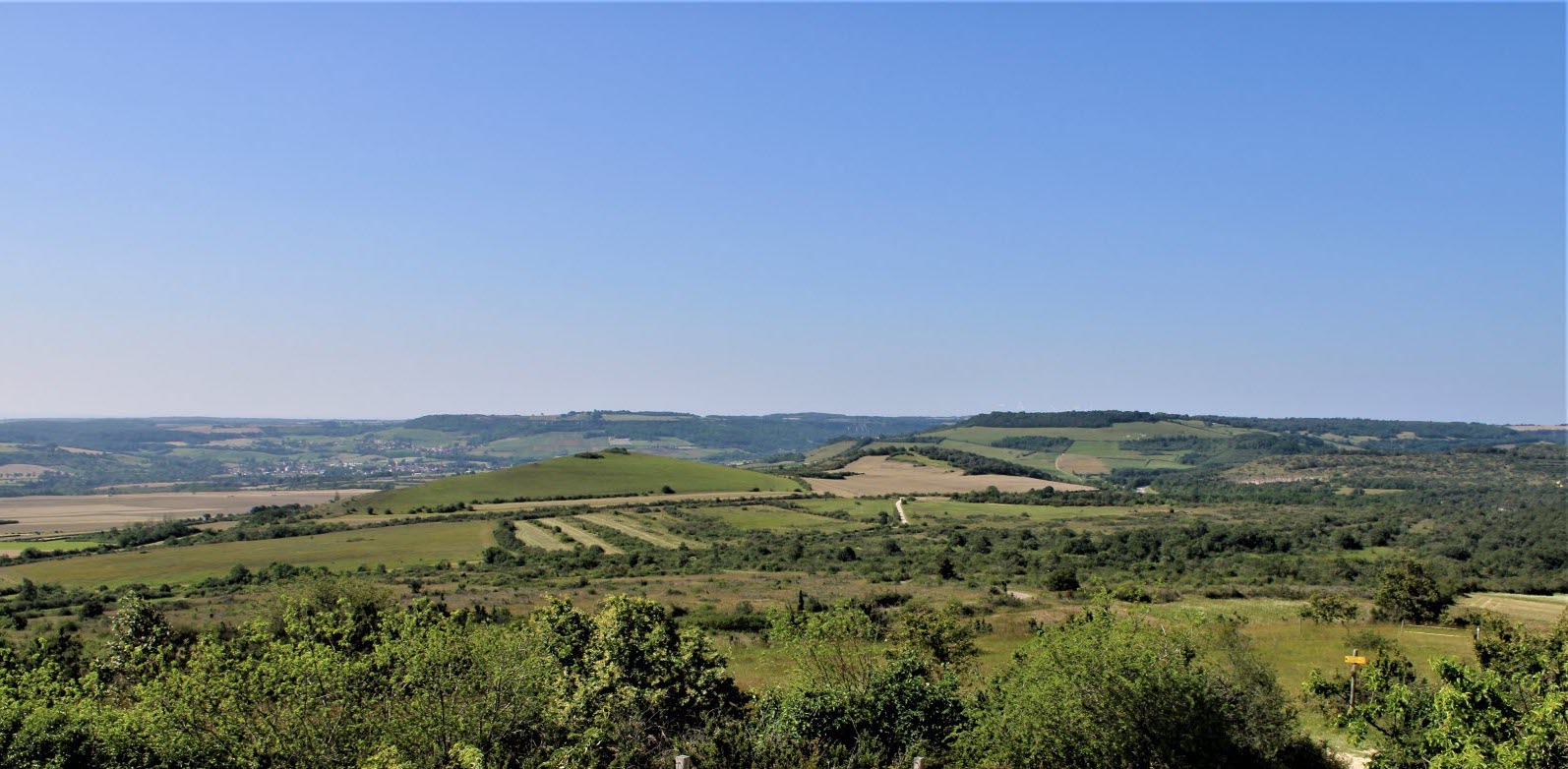
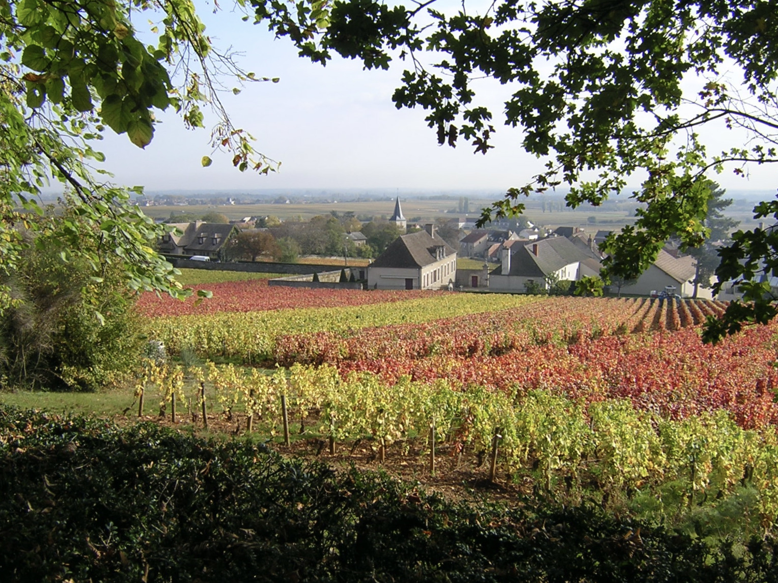
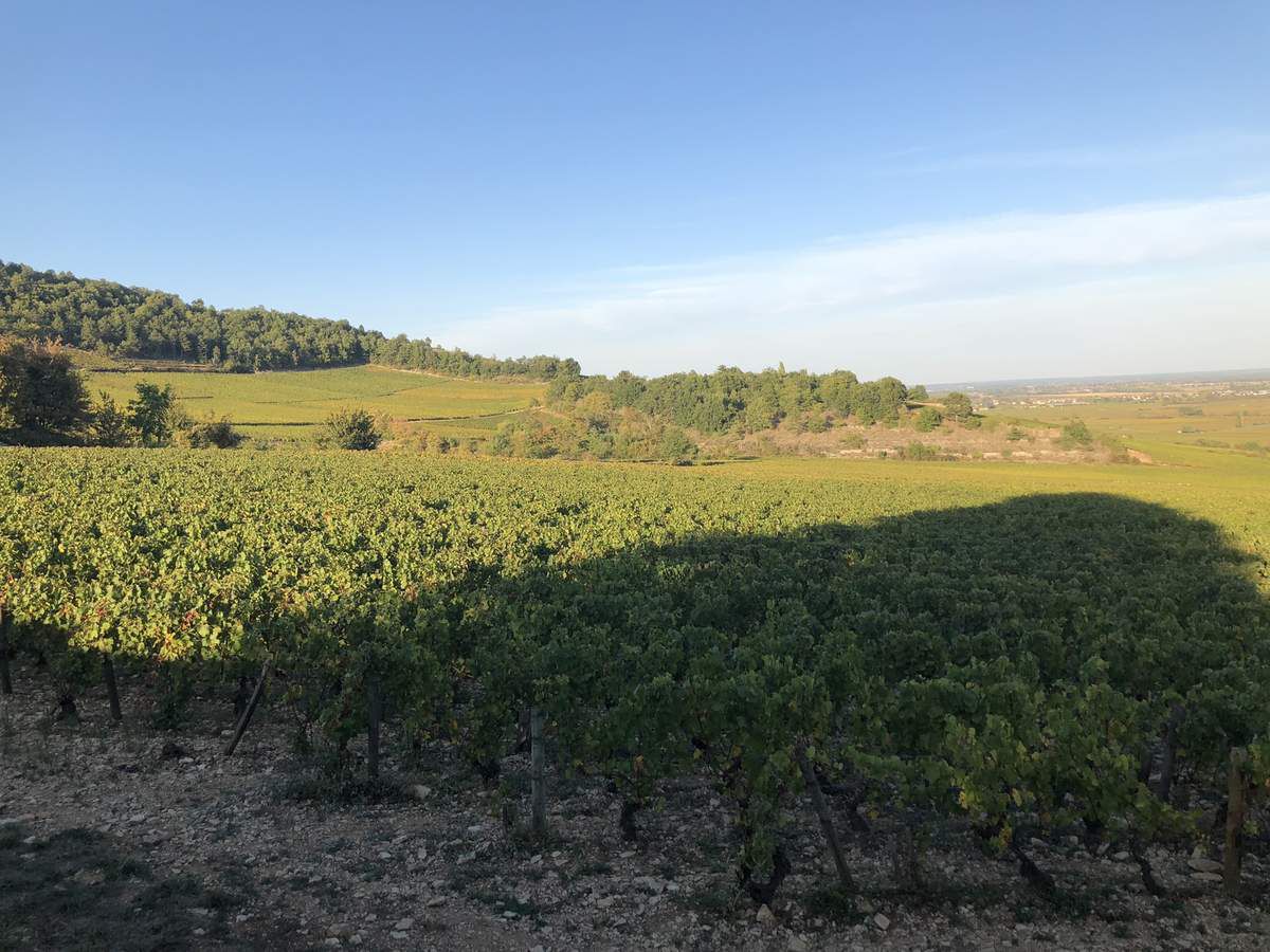
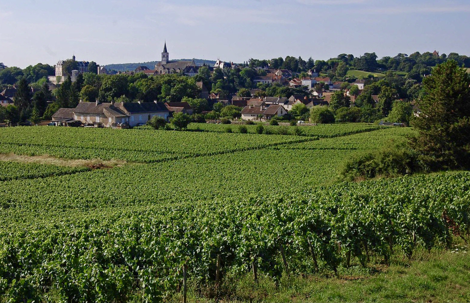
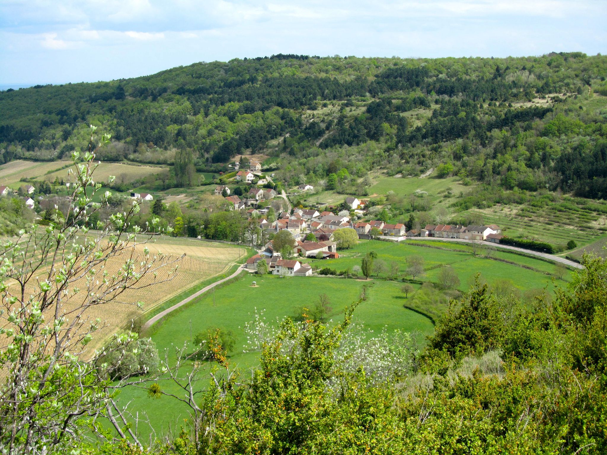
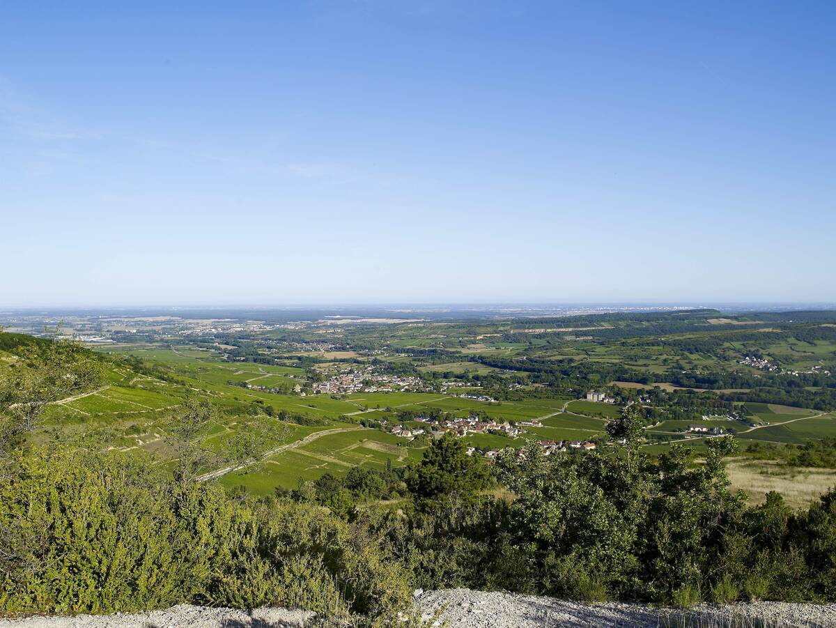
Starting from the Sorine mill, this route winds through the vineyards to the Château de Santenay, then rushes into the Bois de la Fée before reaching the Mont de Sène. At the top, the view is splendid.

Already more than 200,000 users!
Uphill
310m
Highest point
516m
Downhill
310m
Lowest point
231m
Route type
Loop
Download the map on your smartphone to save battery and rest assured to always keep access to the route, even without signal.
Includes IGN France and Swisstopo.
I indicate whether dogs are allowed or prohibited on this trail
All year
0 ratings
Also enjoy:

Already more than 200,000 users!