Uphill
159m
Length
9km
Duration
2h30min
Elev gain
159m
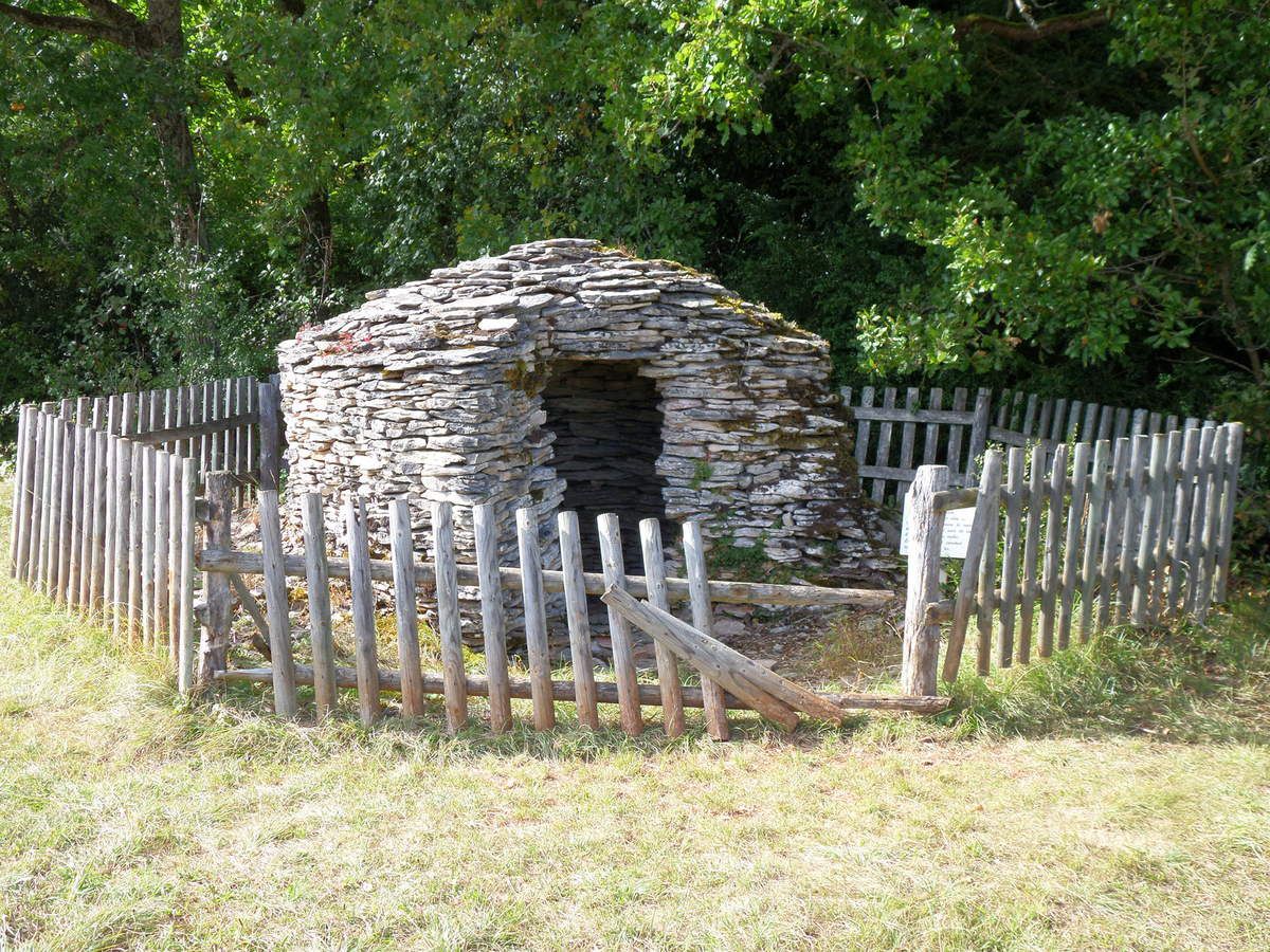
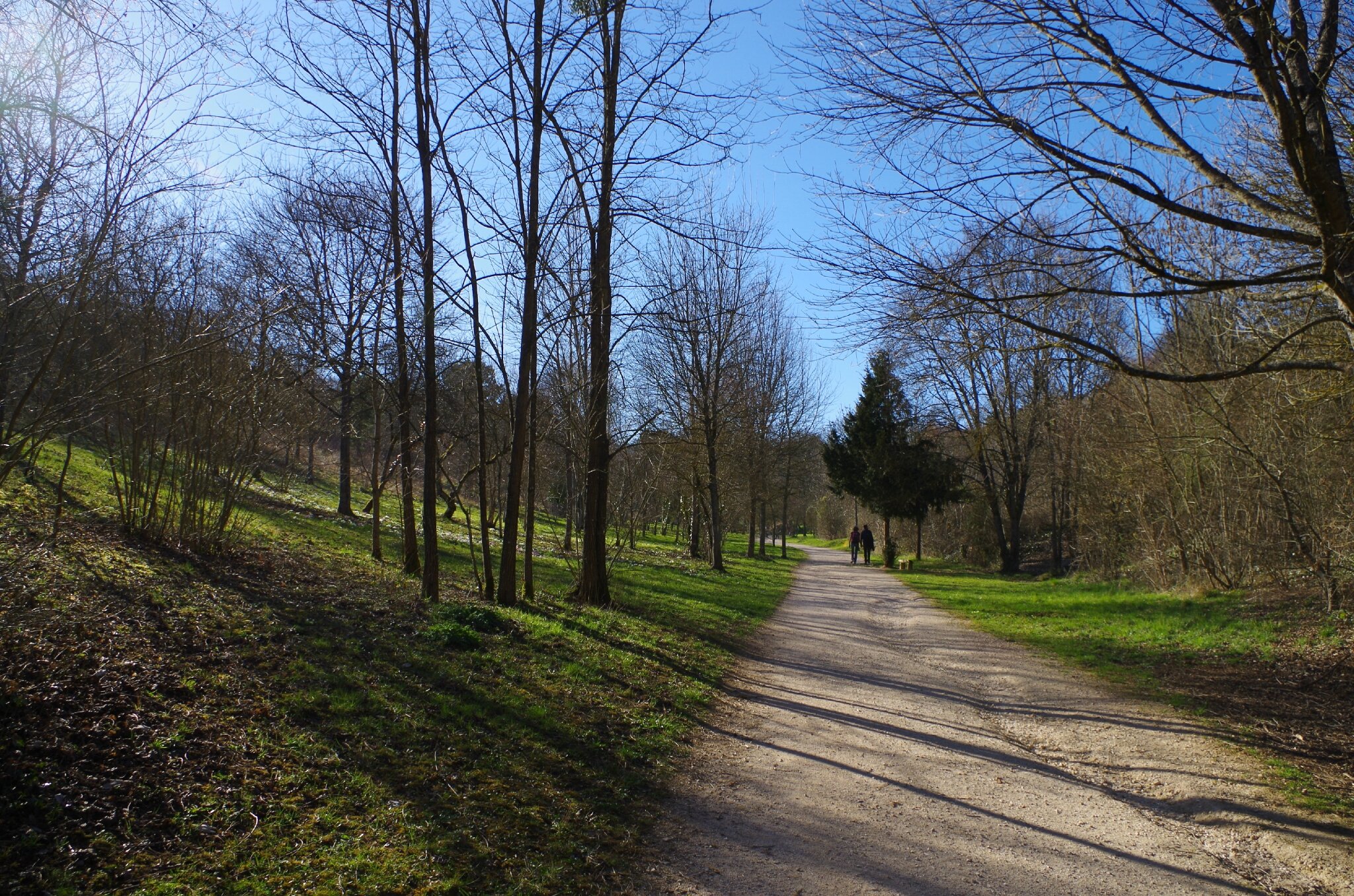
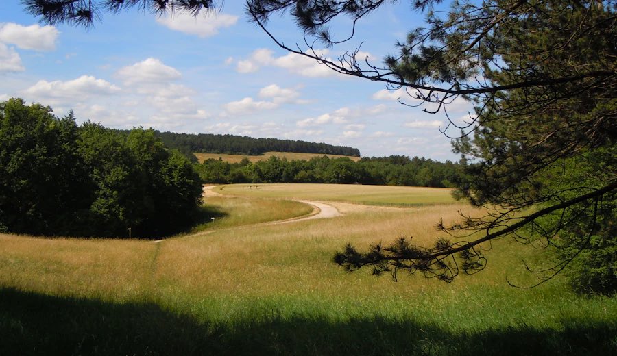
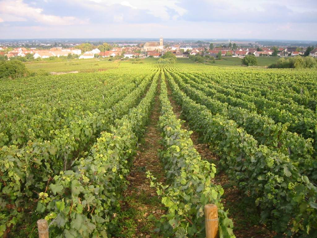
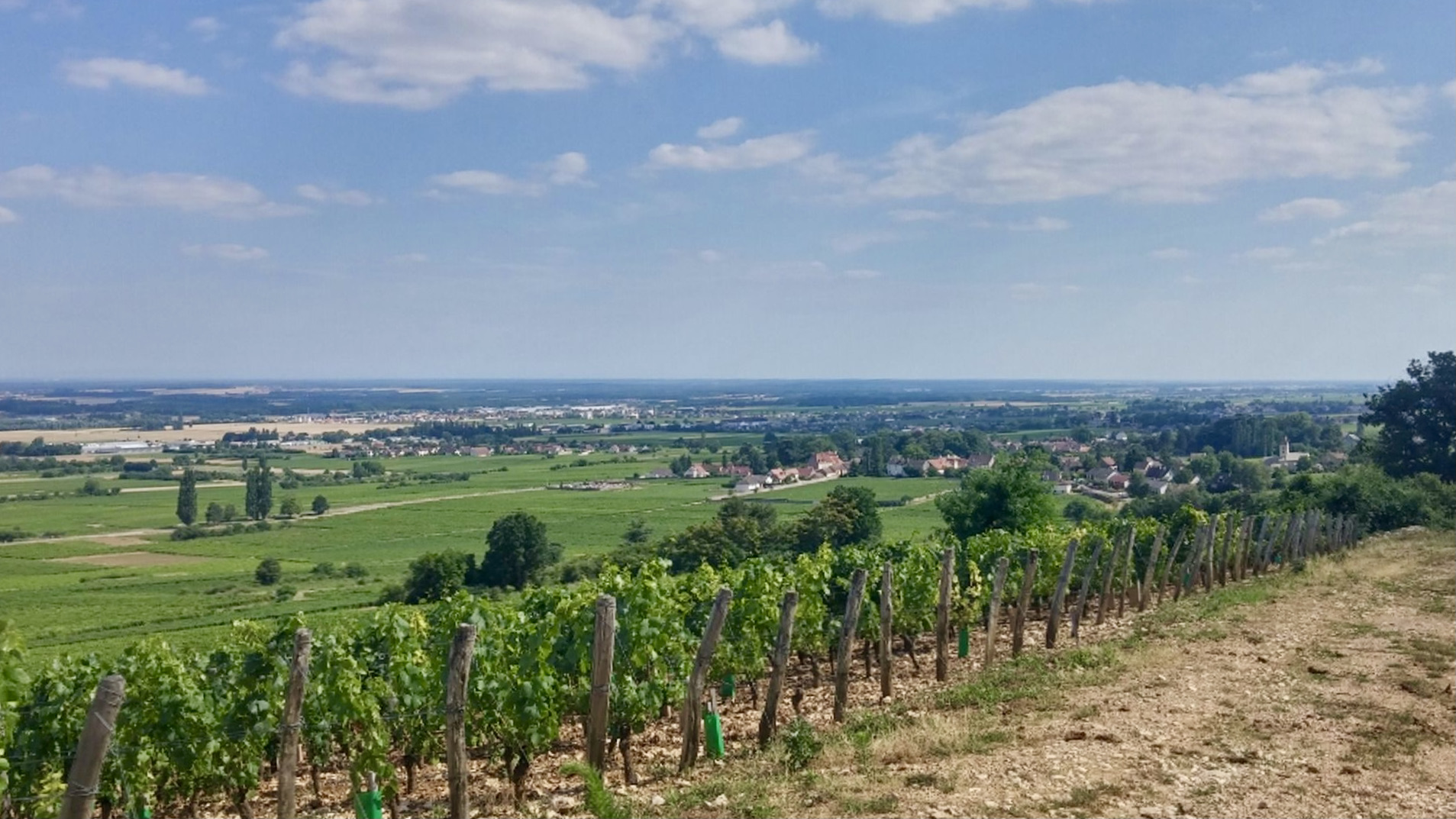
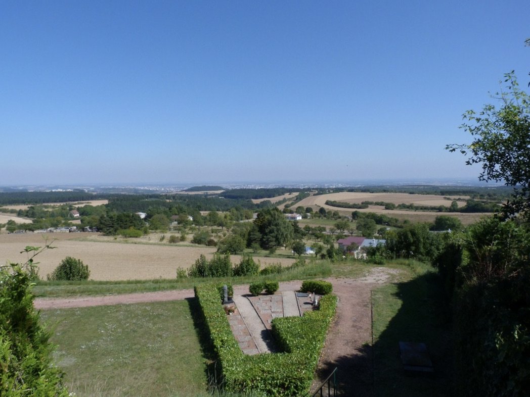
Pleasant hike around Mont Afrique, a place well known to locals. Departing from Corcelles-les-Monts, this route alternates between Burgundy countryside and forest, on a marked trail. The path also crosses the source of the Naizou, and offers a splendid view of the Saône plain.

Already more than 200,000 users!
Uphill
159m
Highest point
582m
Downhill
159m
Lowest point
454m
Route type
Loop
Download the map on your smartphone to save battery and rest assured to always keep access to the route, even without signal.
Includes IGN France and Swisstopo.
I indicate whether dogs are allowed or prohibited on this trail
All year
0 ratings
Also enjoy:

Already more than 200,000 users!