Uphill
48m
Length
3km
Duration
1h
Elev gain
48m
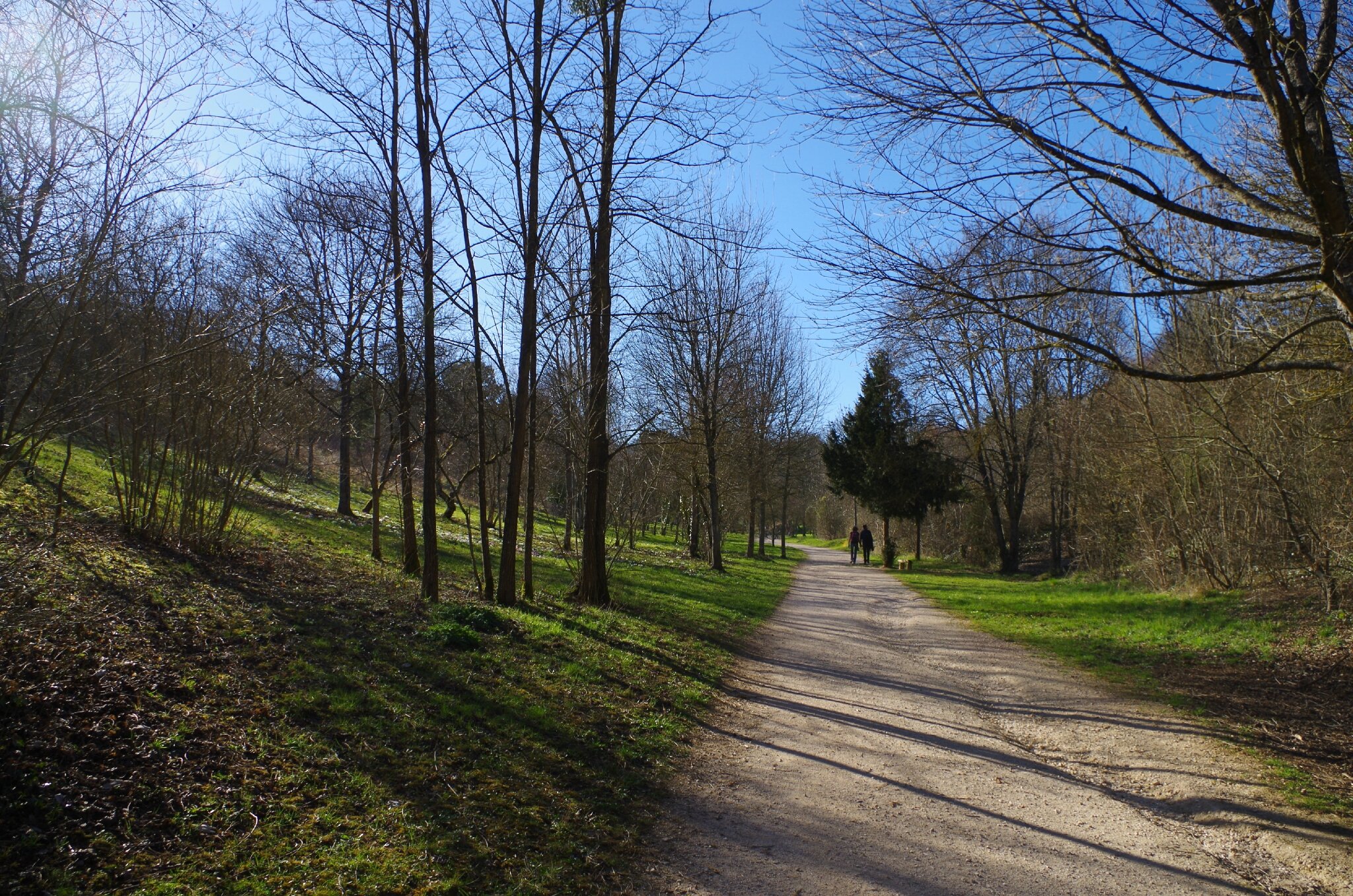
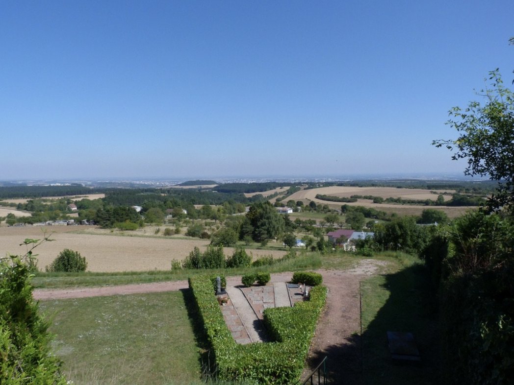
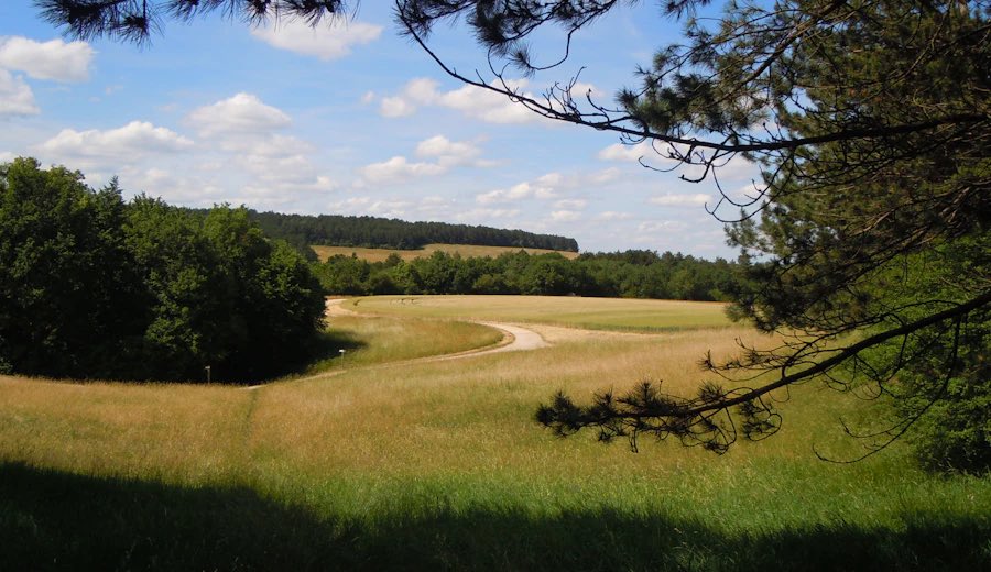
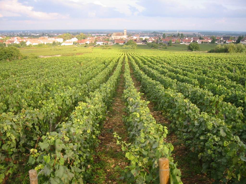
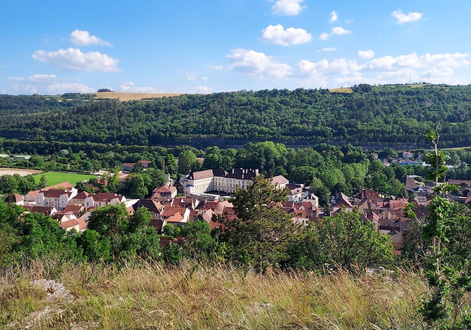
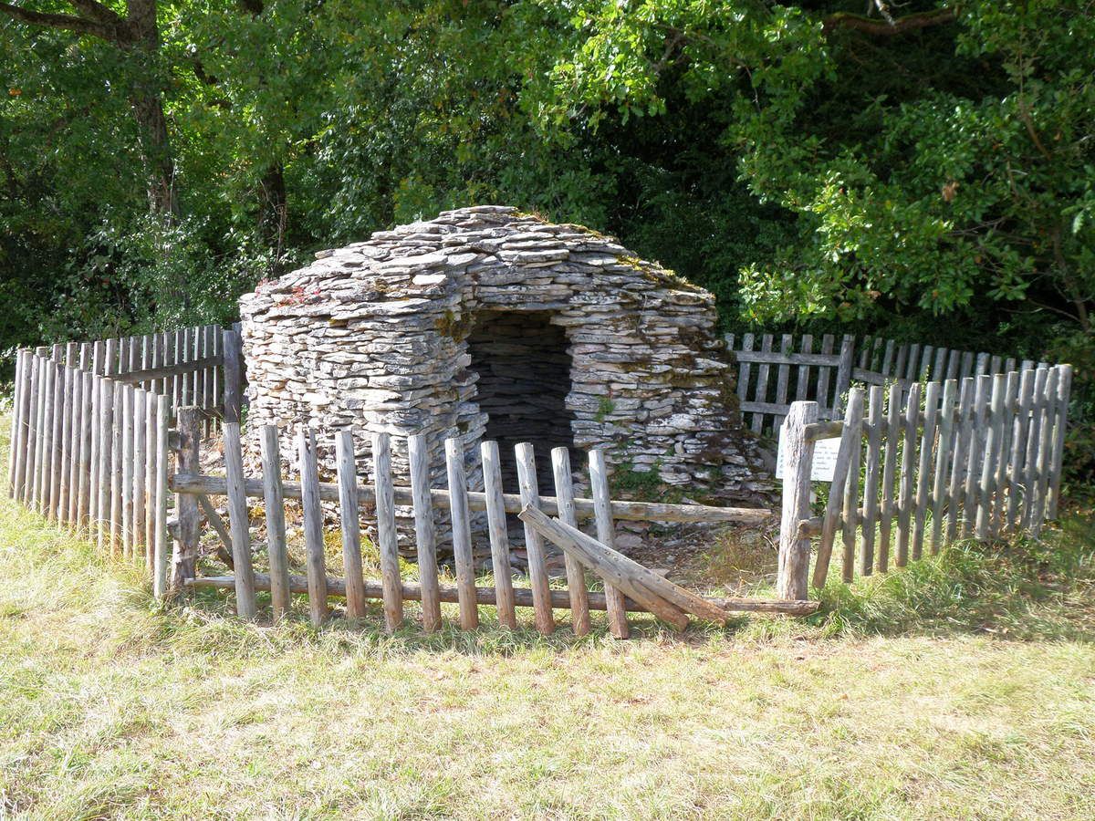
Family-friendly trail that allows you to discover typical landscapes of Burgundy. The route makes a nice loop on a path embellished with dry stone cadoles, all between undergrowth and meadows.

Already more than 200,000 users!
Uphill
48m
Highest point
417m
Downhill
48m
Lowest point
365m
Route type
Loop
Download the map on your smartphone to save battery and rest assured to always keep access to the route, even without signal.
Includes IGN France and Swisstopo.
I indicate whether dogs are allowed or prohibited on this trail
All year
0 ratings
Also enjoy:

Already more than 200,000 users!