Uphill
312m
Length
10km
Duration
3h
Elev gain
312m
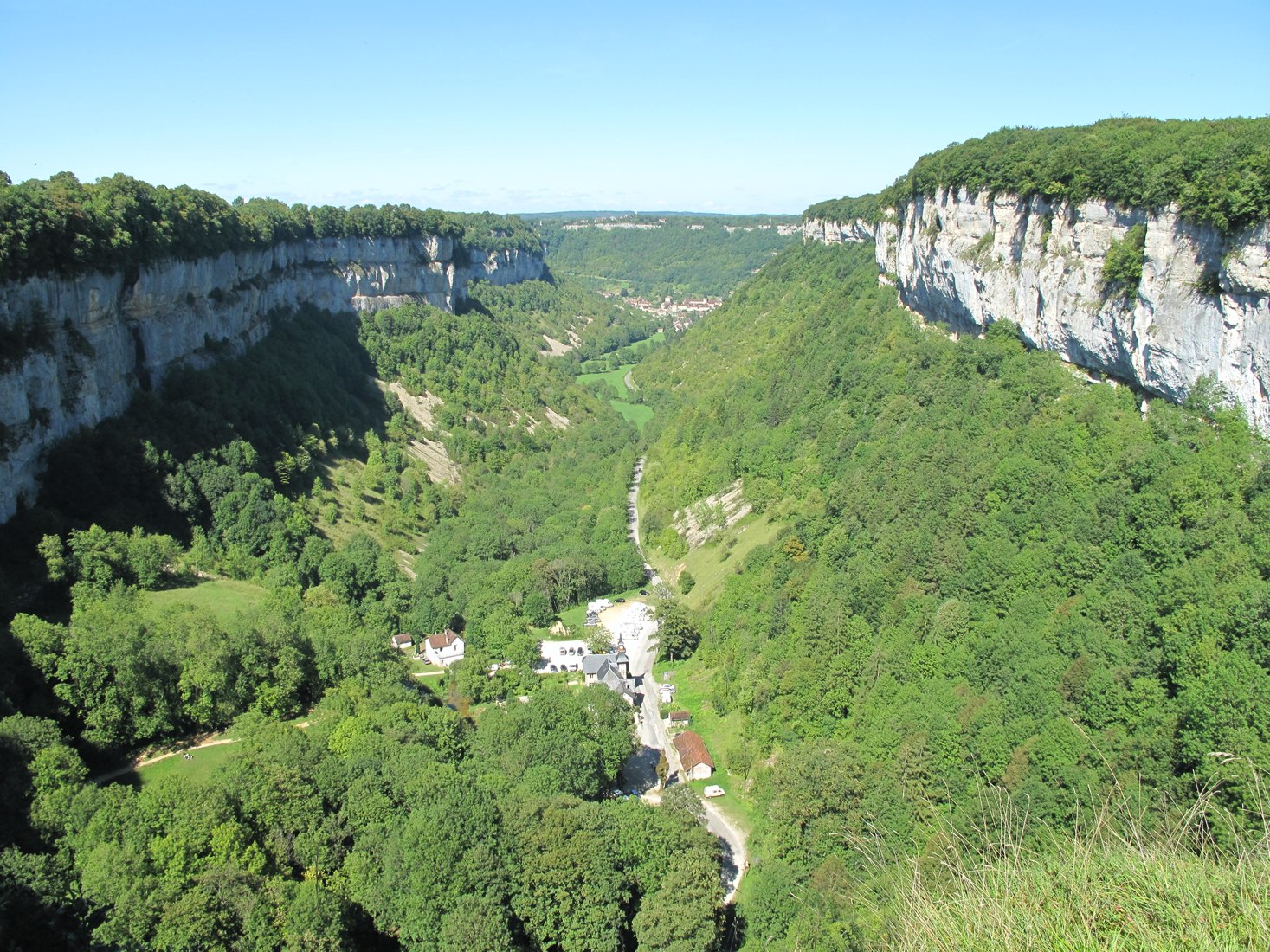
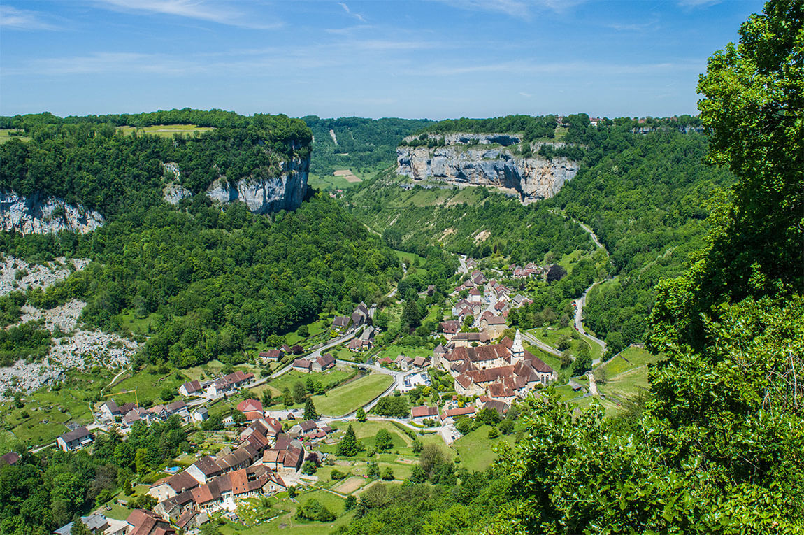
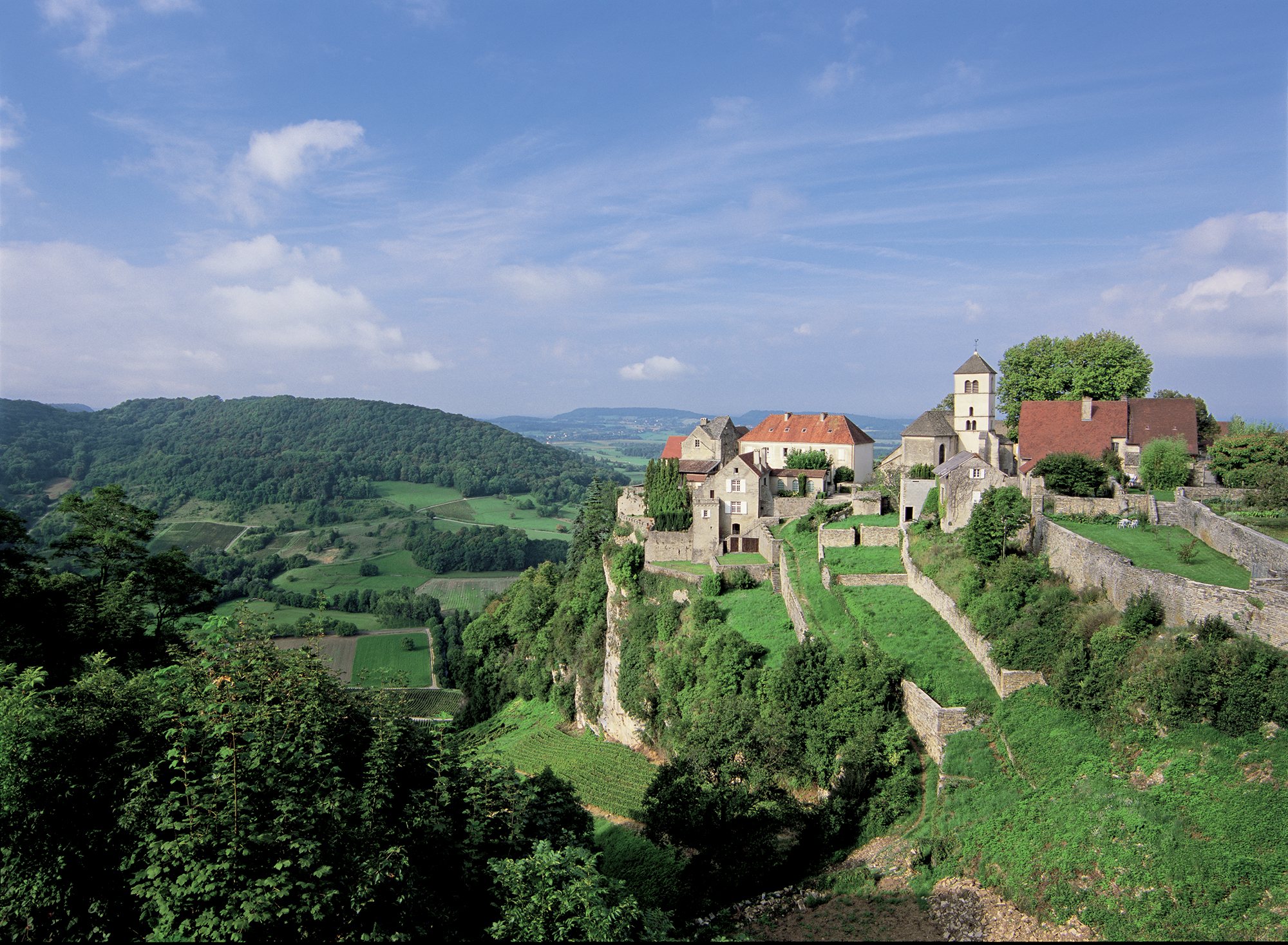
It is in Château-Chalon, a village elected among the most beautiful in France, that this hike begins.
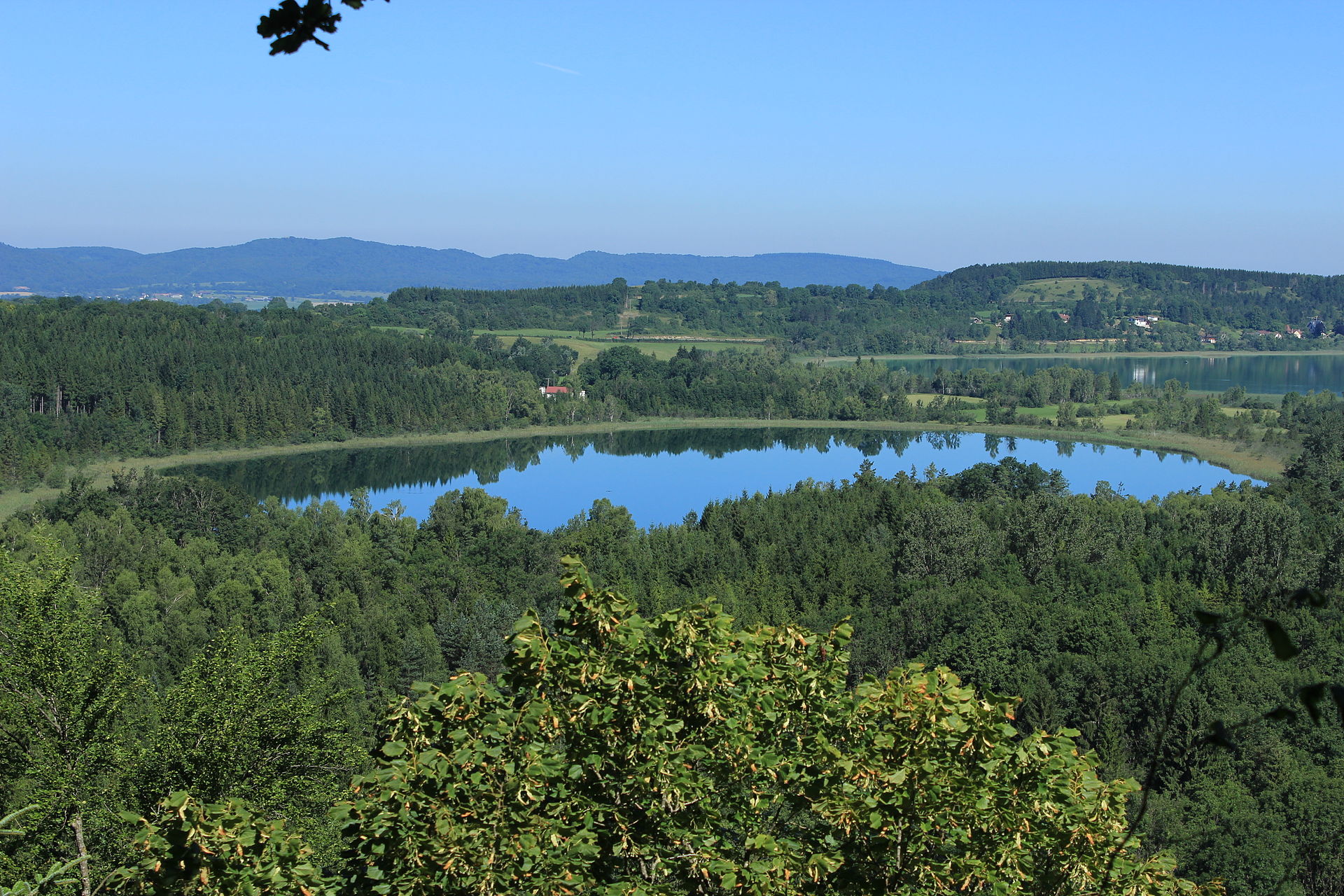
The route makes a beautiful loop through vineyards and meadows, passing by the lattet de Ménétru, the cross of Beaumont, and along the Seille. This getaway between nature and heritage also offers many viewpoints over Château-Chalon.

Already more than 200,000 users!
Uphill
312m
Highest point
498m
Downhill
312m
Lowest point
246m
Route type
Loop
Download the map on your smartphone to save battery and rest assured to always keep access to the route, even without signal.
Includes IGN France and Swisstopo.
I indicate whether dogs are allowed or prohibited on this trail
All year
2 ratings
Belle balade mais les deux derniers kilomètres étaient très difficiles
Also enjoy:

Already more than 200,000 users!