Uphill
210m
Length
9km
Duration
3h
Elev gain
210m
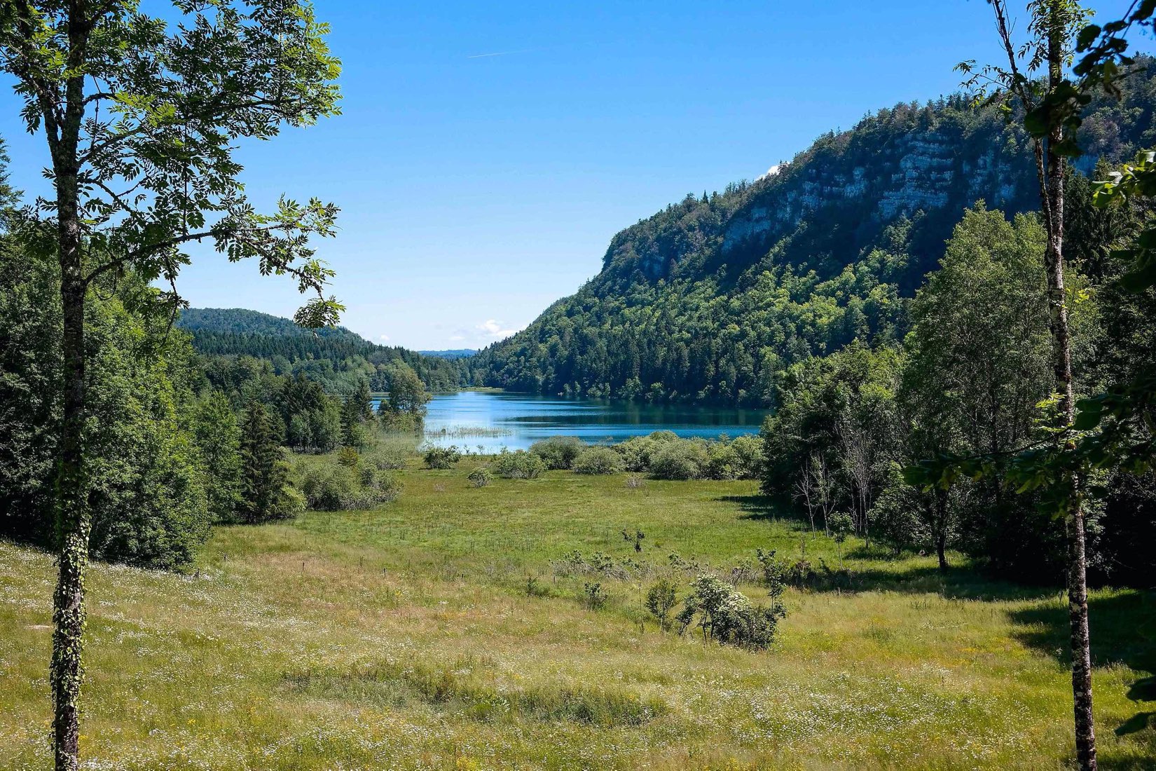
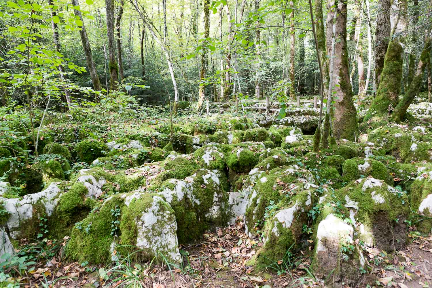
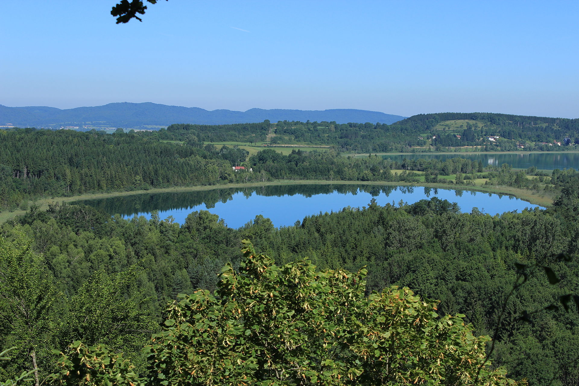
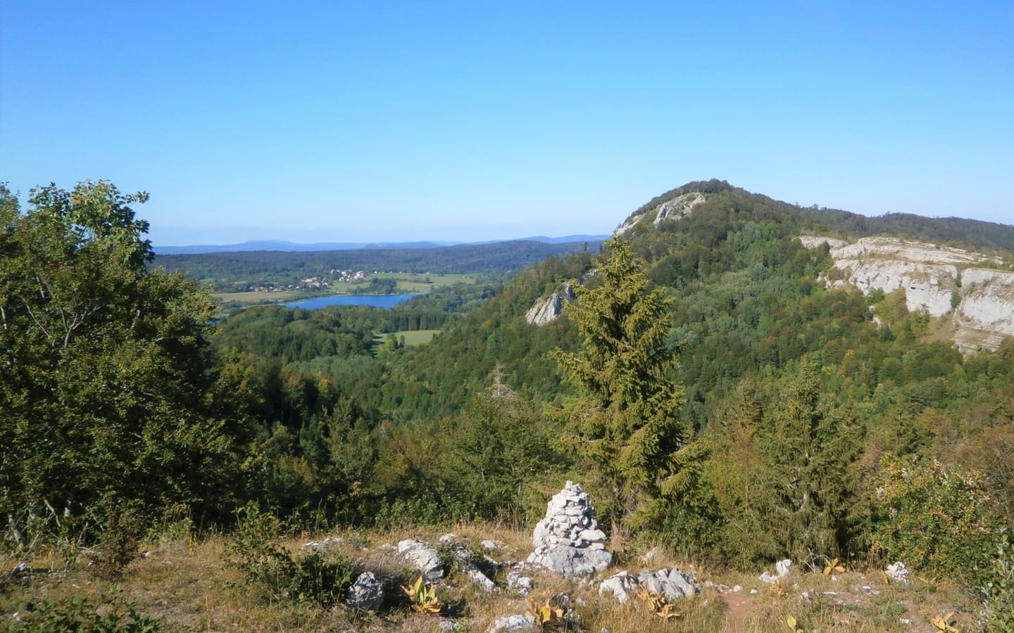
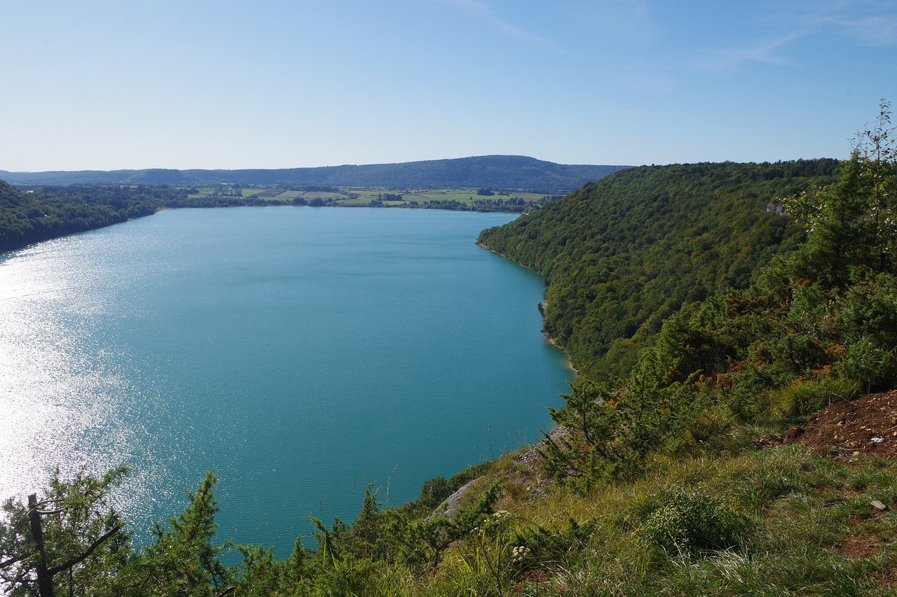
Departing from Martigny, this hike overlooks Lake Chalain. The route takes the Chemin de la Côte to reach La Queille, all in the forest, then continues towards the belvedere. This one offers a nice view of Lake Chalain.

Already more than 200,000 users!
Uphill
210m
Highest point
633m
Downhill
210m
Lowest point
499m
Route type
Loop
Download the map on your smartphone to save battery and rest assured to always keep access to the route, even without signal.
Includes IGN France and Swisstopo.
I indicate whether dogs are allowed or prohibited on this trail
All year
1 rating
Also enjoy:

Already more than 200,000 users!