Uphill
272m
Length
9km
Duration
3h
Elev gain
272m
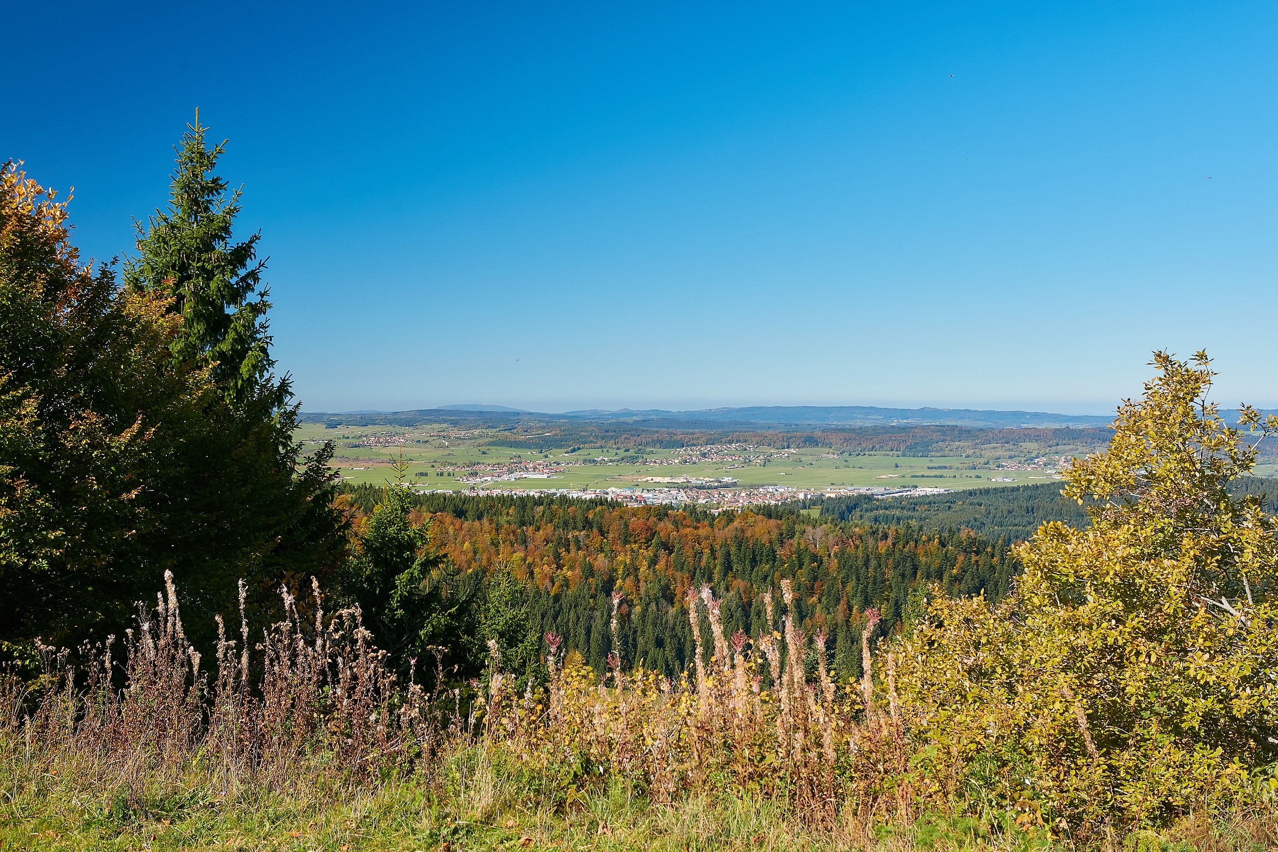
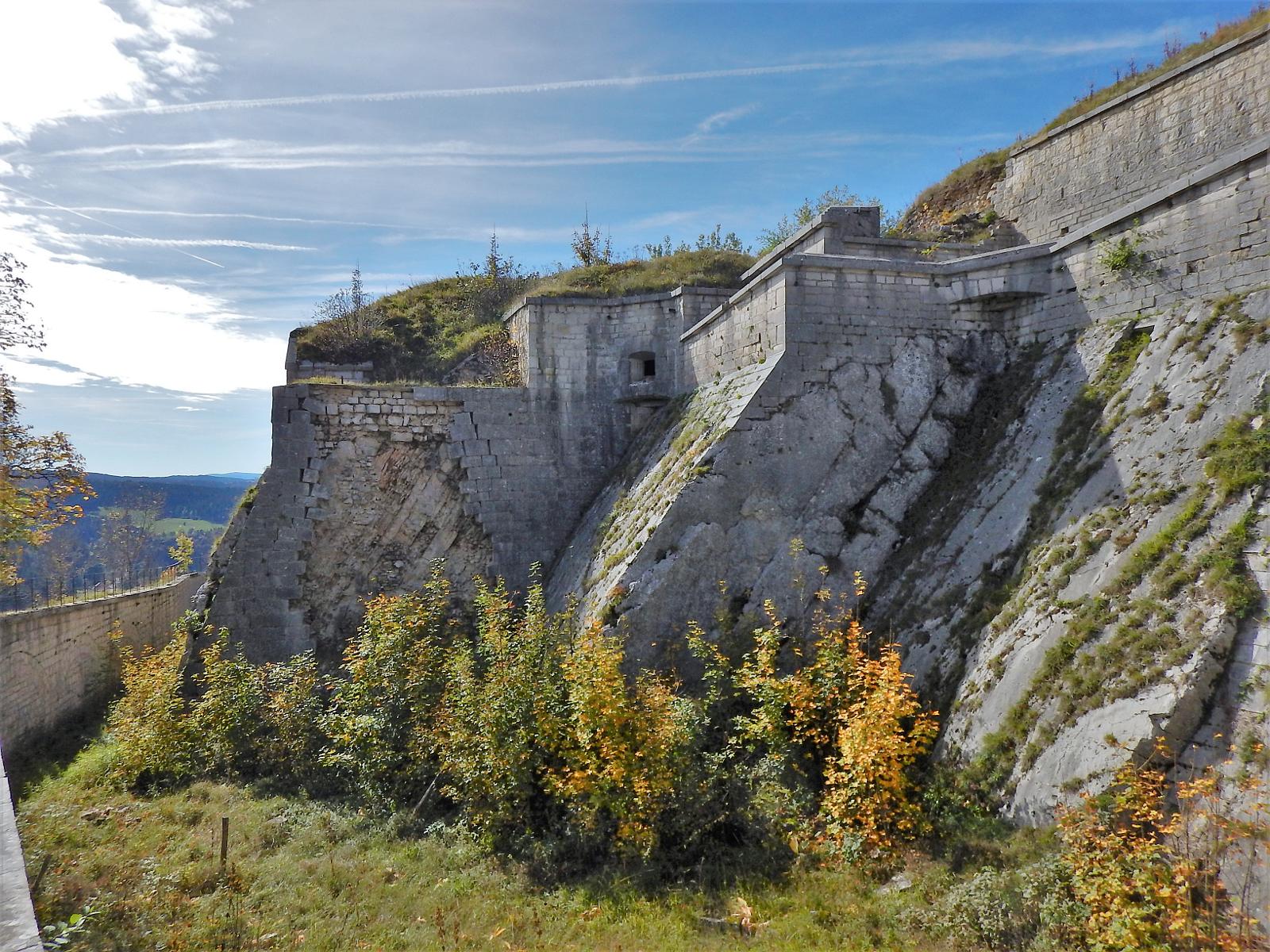
This trail in the Pontarlier forest is a historic passage for salt smuggling under the Ancien Régime. Later, it was obstructed by the German occupier in 1940 to prevent the passage to Switzerland of other goods.

Already more than 200,000 users!
Uphill
272m
Highest point
1139m
Downhill
272m
Lowest point
902m
Route type
Loop
Download the map on your smartphone to save battery and rest assured to always keep access to the route, even without signal.
Includes IGN France and Swisstopo.
I indicate whether dogs are allowed or prohibited on this trail
Can be difficult in Winter
0 ratings
Also enjoy:

Already more than 200,000 users!