Uphill
327m
Length
10km
Duration
3h30min
Elev gain
327m
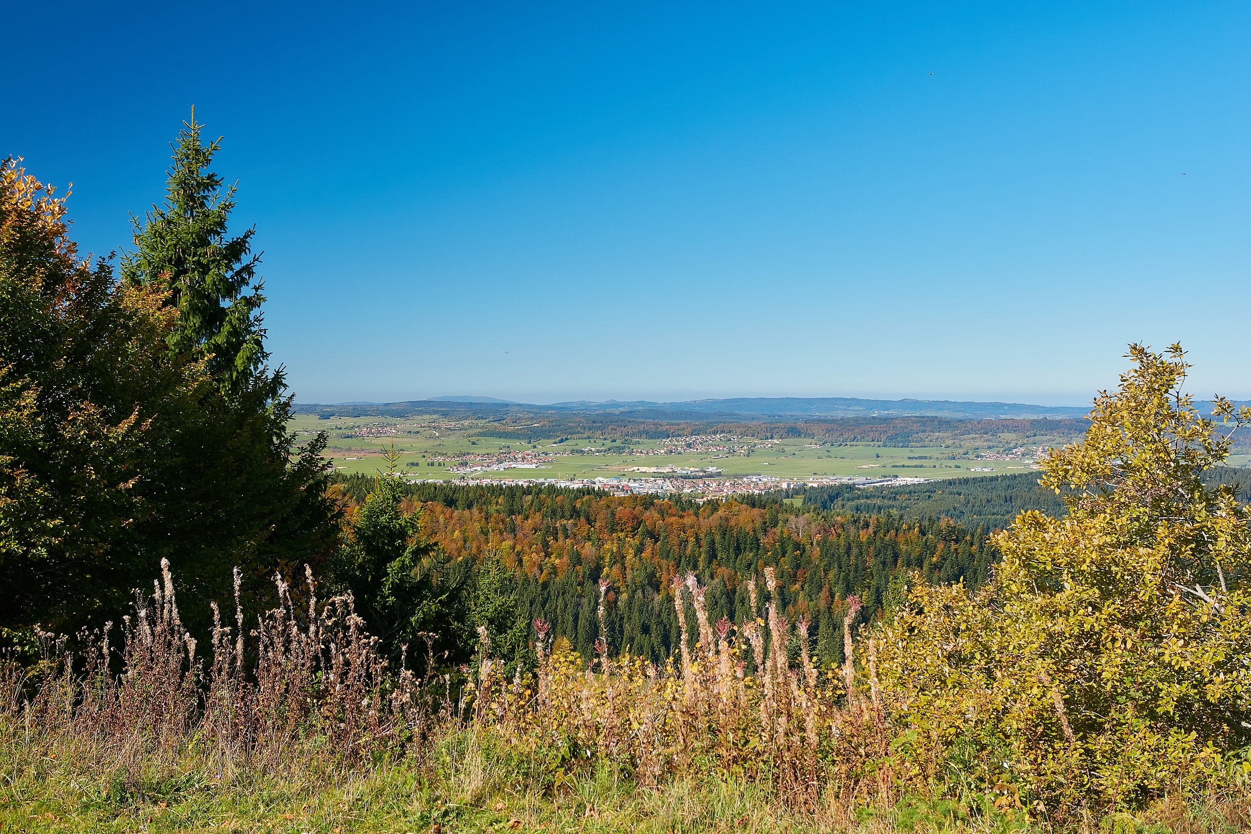
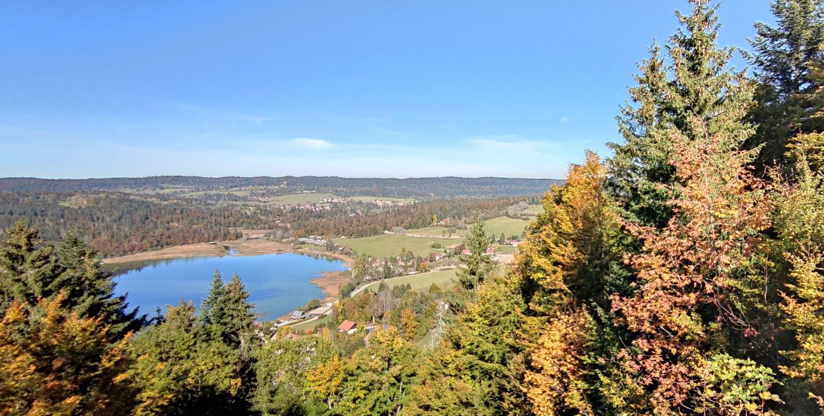
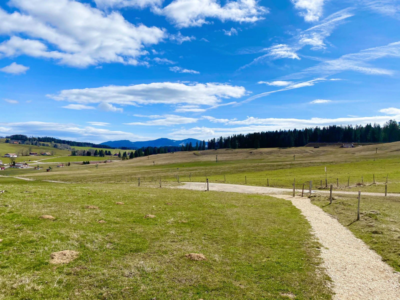
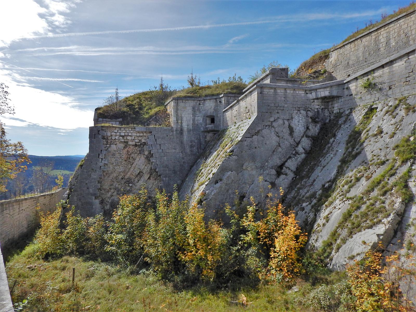
Departing from Pontarlier, this route leads to the Fort du Larmont, opposite the Fort de Joux, after crossing forests and meadows.
Also note several passages on the road.

Already more than 200,000 users!
Uphill
327m
Highest point
1067m
Downhill
327m
Lowest point
813m
Route type
Loop
Download the map on your smartphone to save battery and rest assured to always keep access to the route, even without signal.
Includes IGN France and Swisstopo.
I indicate whether dogs are allowed or prohibited on this trail
Can be difficult in Winter
0 ratings
Also enjoy:

Already more than 200,000 users!