Uphill
92m
Length
8km
Duration
2h30min
Elev gain
92m
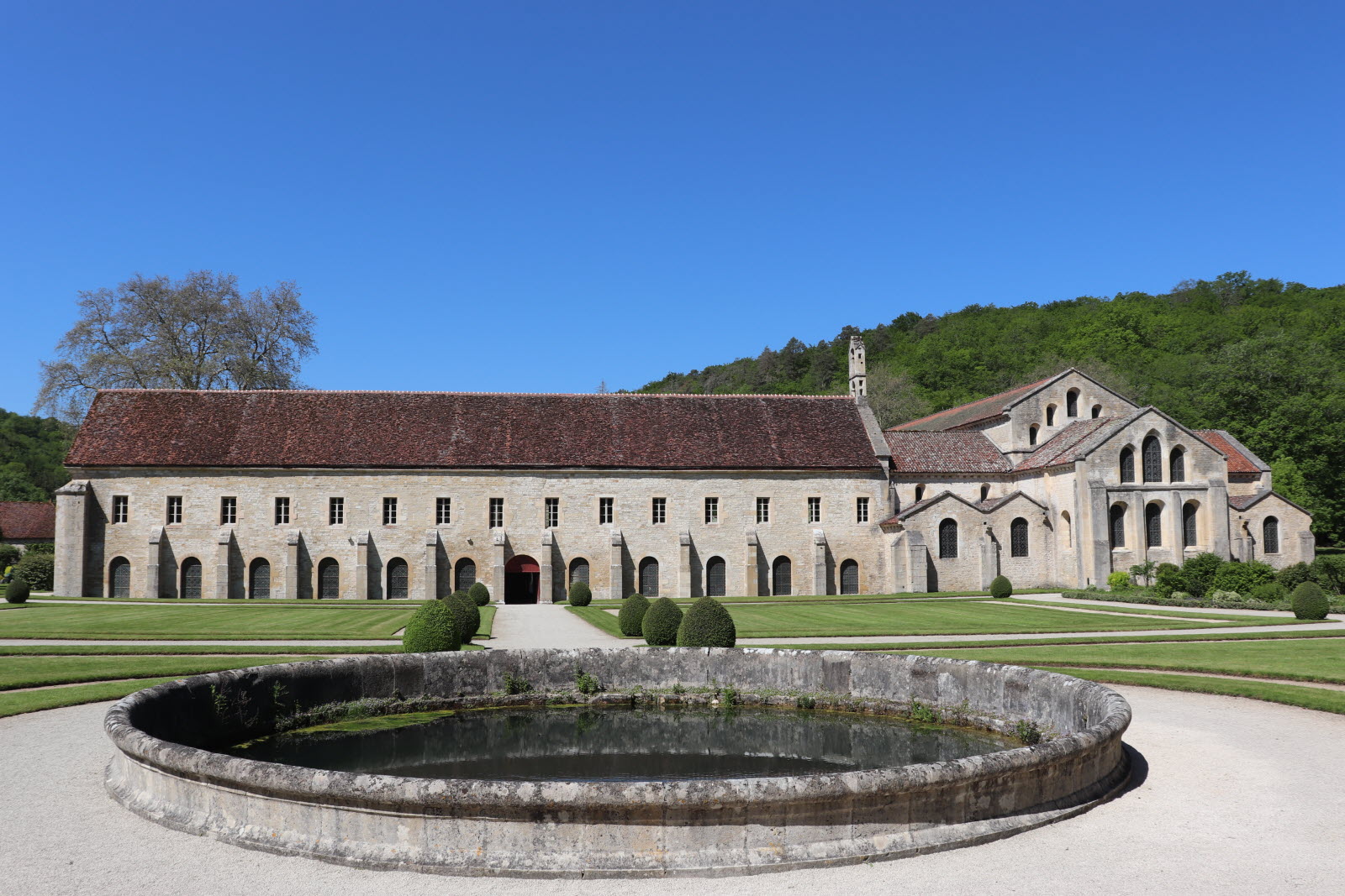
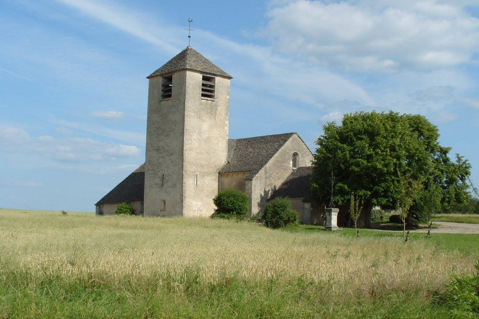
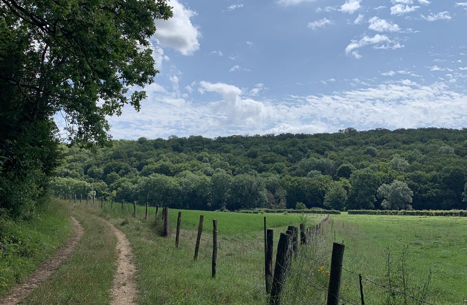
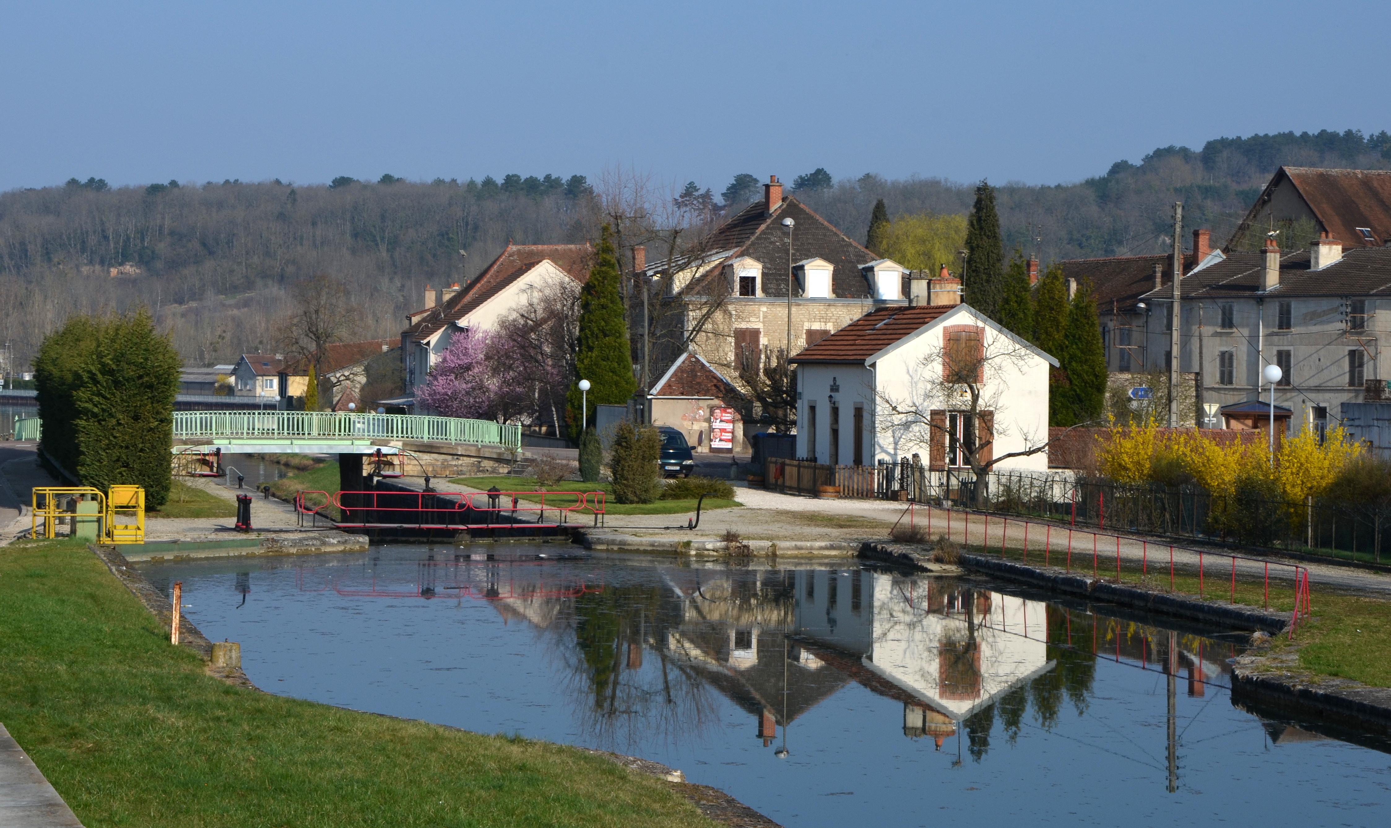
Nice walk in the town of Montbard. This loop route follows the old towpaths along the Burgundy Canal, which lead to the small village of Nogent. At the exit of the village, you can see the charming castle of Nogent before heading back to the starting point.

Already more than 200,000 users!
Uphill
92m
Highest point
280m
Downhill
92m
Lowest point
206m
Route type
Loop
Download the map on your smartphone to save battery and rest assured to always keep access to the route, even without signal.
Includes IGN France and Swisstopo.
I indicate whether dogs are allowed or prohibited on this trail
All year
1 rating
Also enjoy:

Already more than 200,000 users!