Uphill
296m
France > Bourgogne-Franche-Comté > Côte-d'Or
Length
9km
Duration
3h
Elev gain
296m
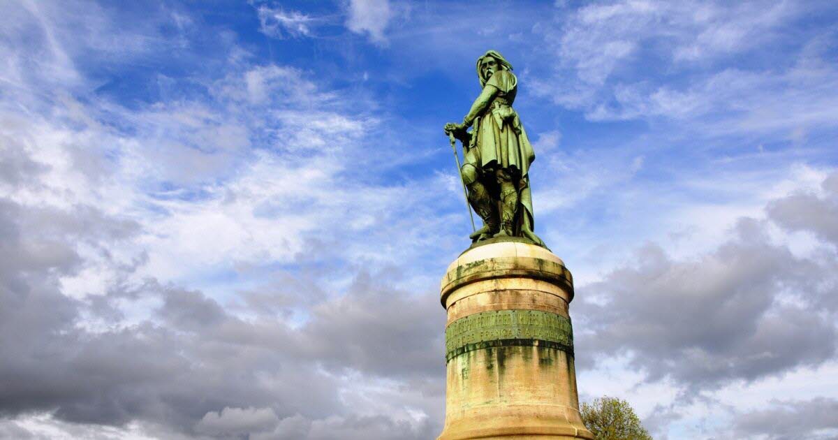
Here is a hike that explores the scenery of the famous battle of Alésia. The route makes a loop around this site steeped in history, where you become aware of the dimensions of the site, the importance of the sources and rivers, and you can see the small rocky bars that protected the stronghold.

Already more than 200,000 users!
Uphill
296m
Highest point
396m
Downhill
296m
Lowest point
236m
Route type
Loop
Download the map on your smartphone to save battery and rest assured to always keep access to the route, even without signal.
Includes IGN France and Swisstopo.
I indicate whether dogs are allowed or prohibited on this trail
All year
0 ratings
Also enjoy:

Already more than 200,000 users!