Uphill
21m
Length
4km
Duration
1h
Elev gain
21m
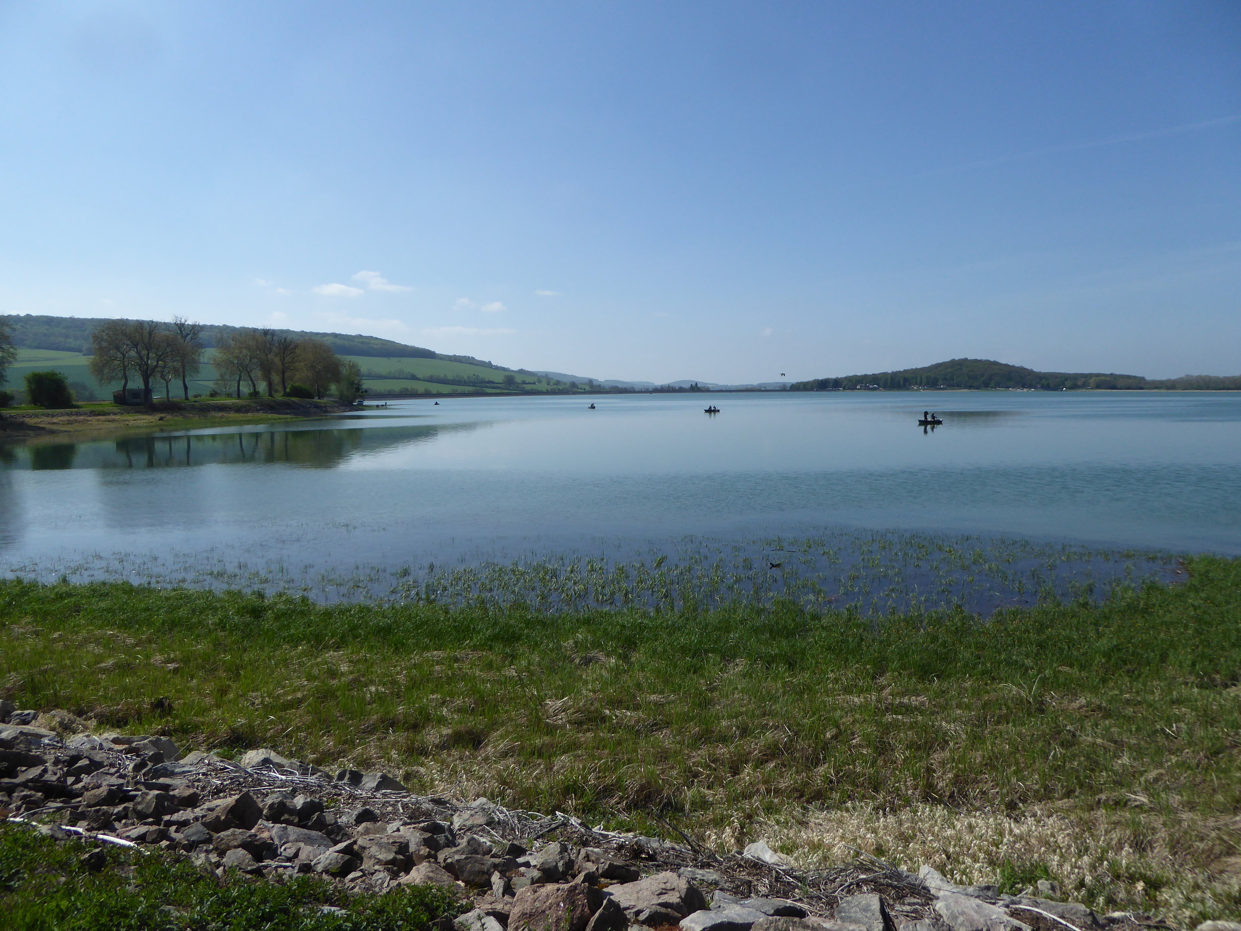
A short family stroll around the Panthier reservoir, the largest lake in the Côte-d'Or, which was created to supply the Burgundy Canal.
The route offers several bird watching points, and it is also possible to swim when the weather permits.

Already more than 200,000 users!
Uphill
21m
Highest point
377m
Downhill
21m
Lowest point
351m
Route type
Loop
Download the map on your smartphone to save battery and rest assured to always keep access to the route, even without signal.
Includes IGN France and Swisstopo.
I indicate whether dogs are allowed or prohibited on this trail
All year
1 rating
Also enjoy:

Already more than 200,000 users!