Uphill
274m
Length
19km
Duration
5h30min
Elev gain
274m
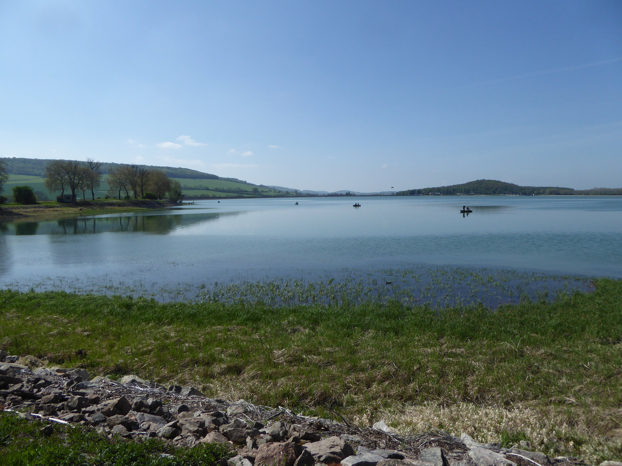
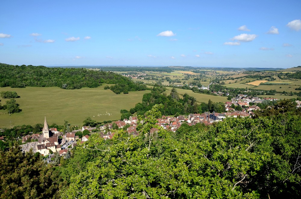
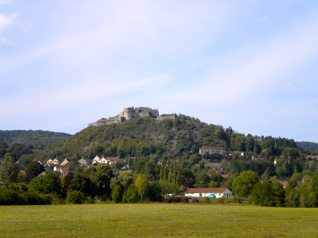
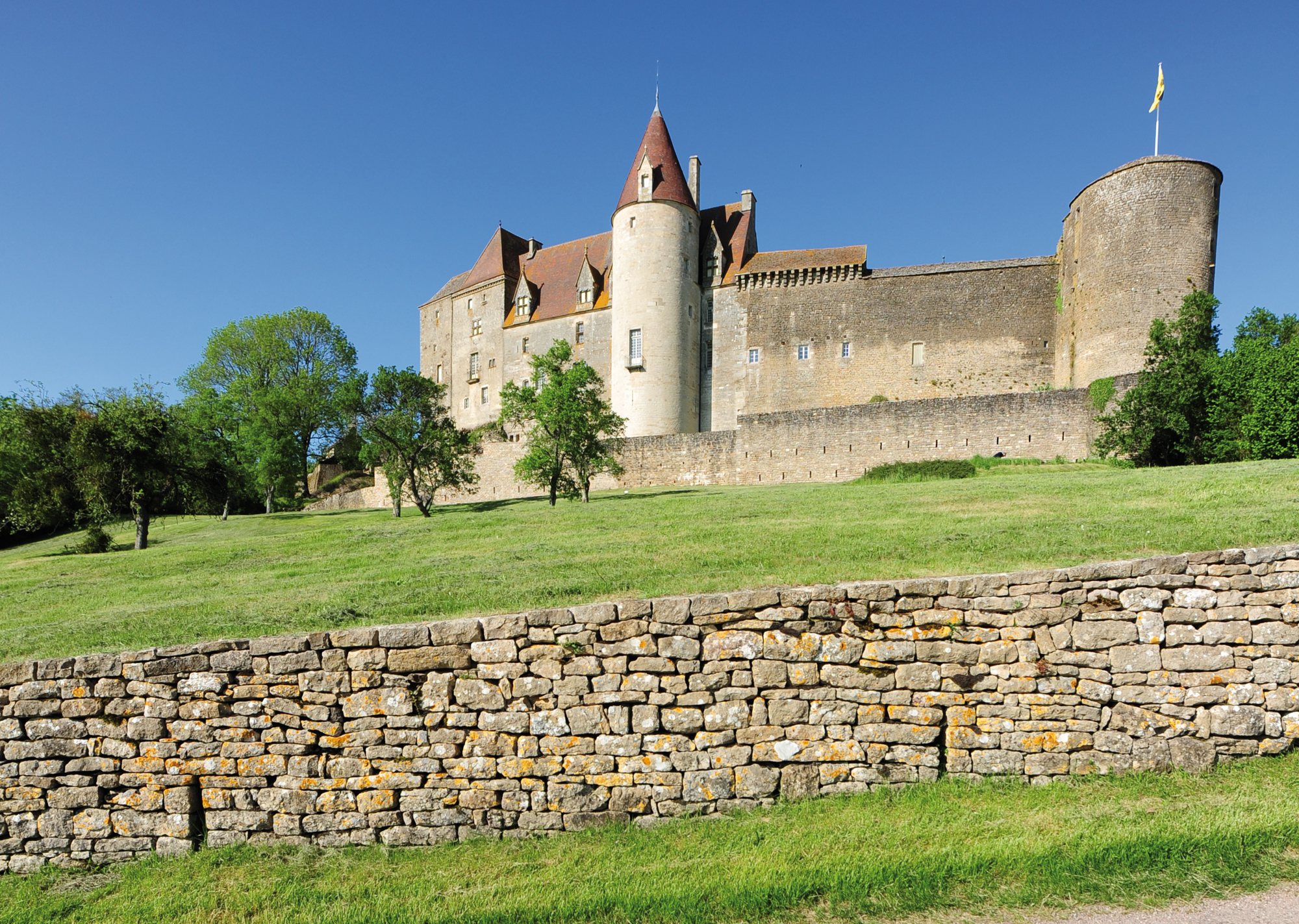
Departing from the village of Châteauneuf, elected among the most beautiful in France, this route makes a long and pretty loop in the surroundings. The route begins at the Château de Châteauneuf, runs along the Panthier reservoir, then alternates between fields and undergrowth around Commarin.

Already more than 200,000 users!
Uphill
274m
Highest point
553m
Downhill
274m
Lowest point
351m
Route type
Loop
Download the map on your smartphone to save battery and rest assured to always keep access to the route, even without signal.
Includes IGN France and Swisstopo.
I indicate whether dogs are allowed or prohibited on this trail
All year
0 ratings
Also enjoy:

Already more than 200,000 users!