Uphill
273m

Length
12km
Duration
4h
Elev gain
273m
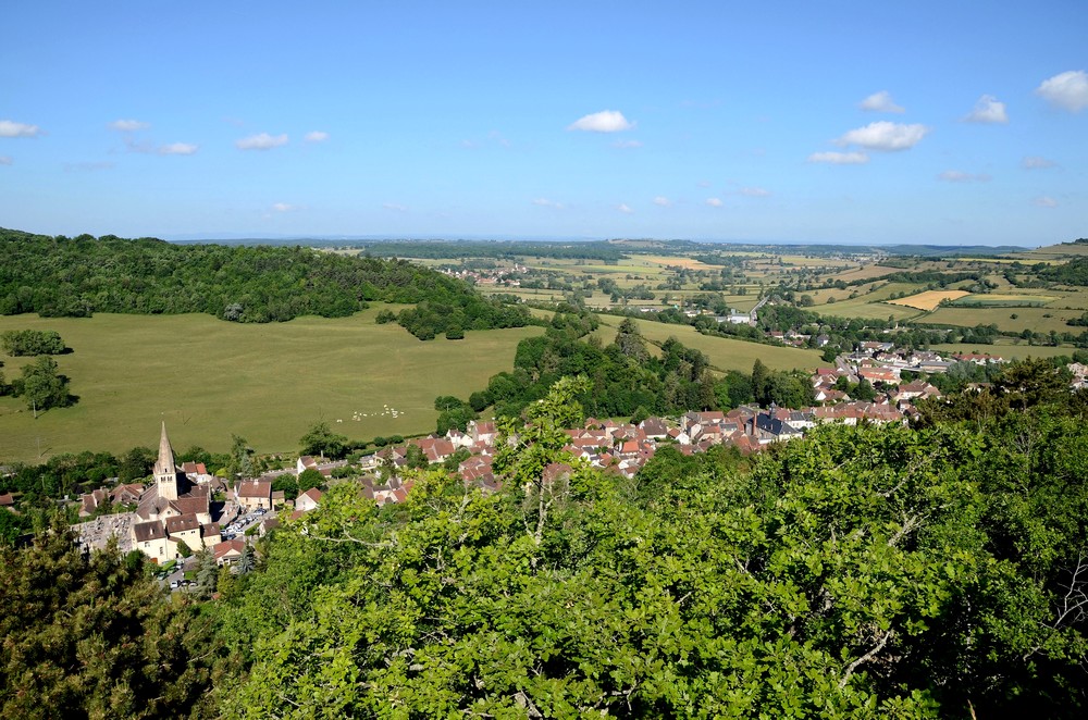
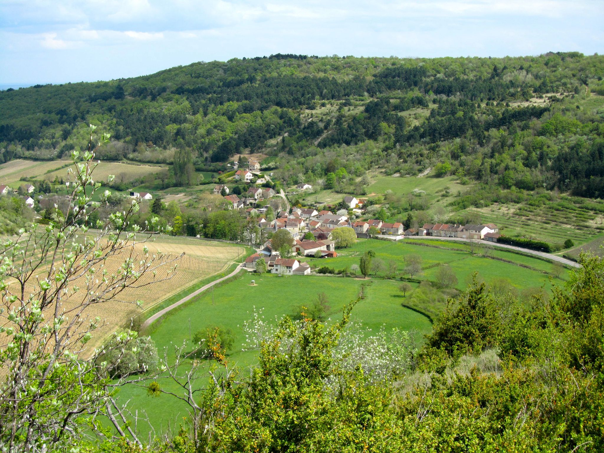
Here is a nice hike that goes to discover the sources of the Ouche. From Bligny-sur-Ouche, the path takes the direction of Voichey, then passes through Lusigny-sur-Ouche. The route continues in the Montceau forest, then through the Maquis cave, before returning to the starting point along the Ouche.

Already more than 200,000 users!
Uphill
273m
Highest point
494m
Downhill
273m
Lowest point
350m
Route type
Loop
Download the map on your smartphone to save battery and rest assured to always keep access to the route, even without signal.
Includes IGN France and Swisstopo.
I indicate whether dogs are allowed or prohibited on this trail
All year
0 ratings
Also enjoy:

Already more than 200,000 users!