Uphill
195m
Length
8km
Duration
2h30min
Elev gain
195m
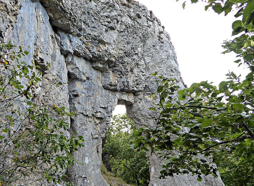
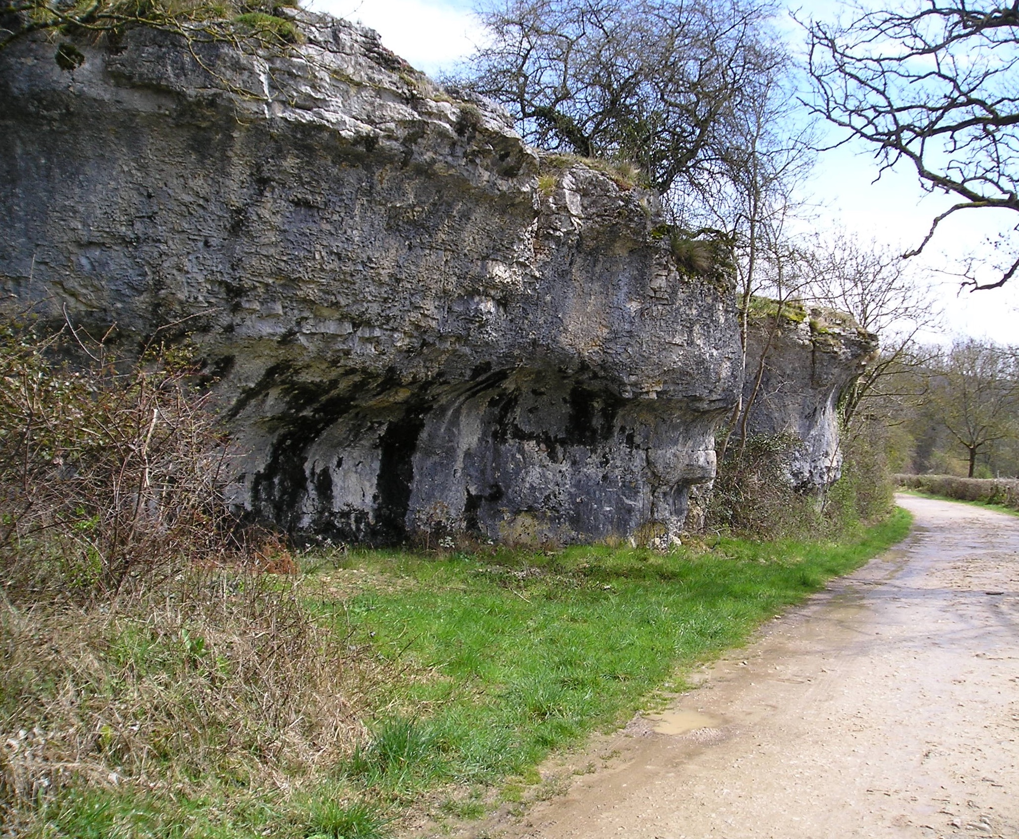
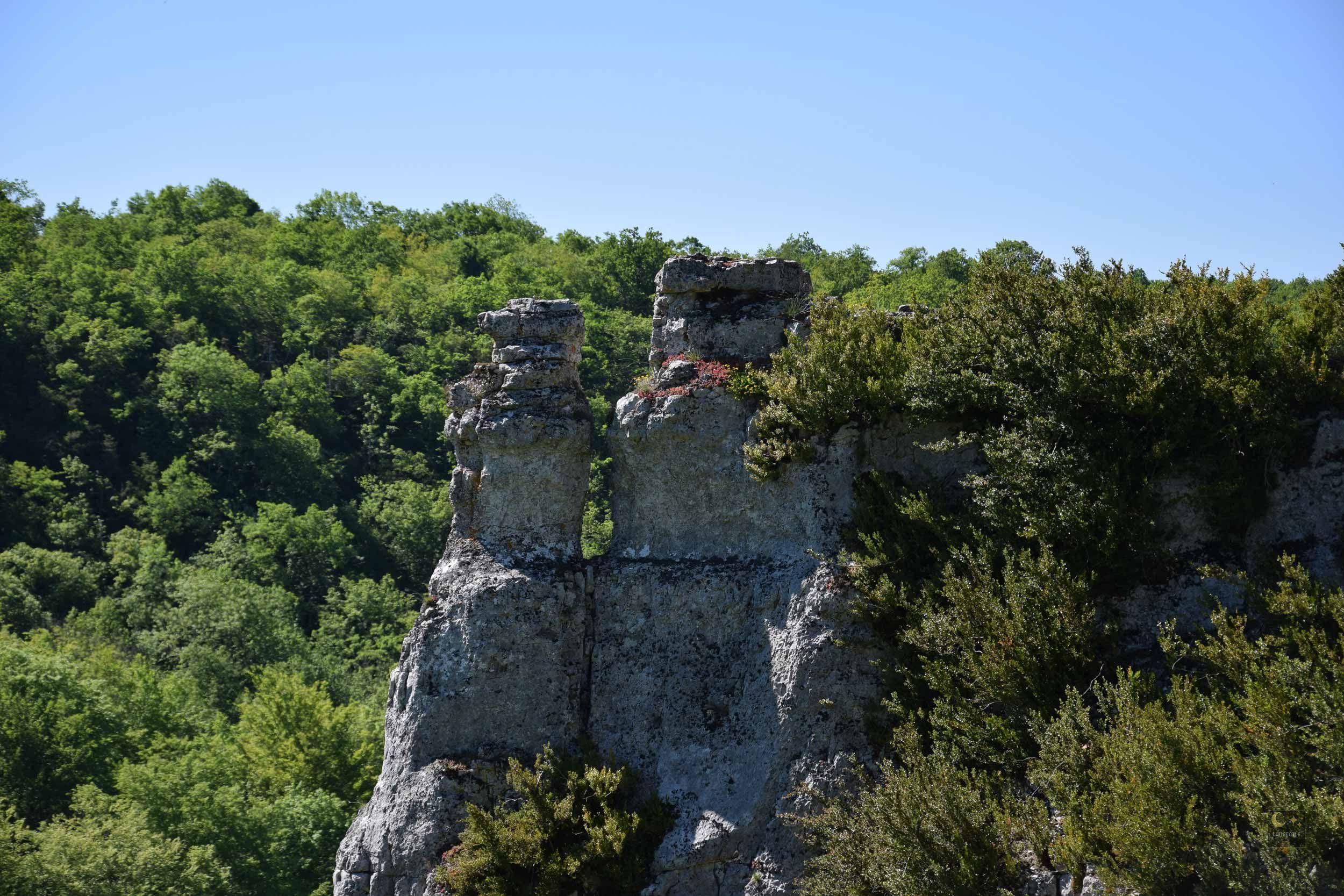
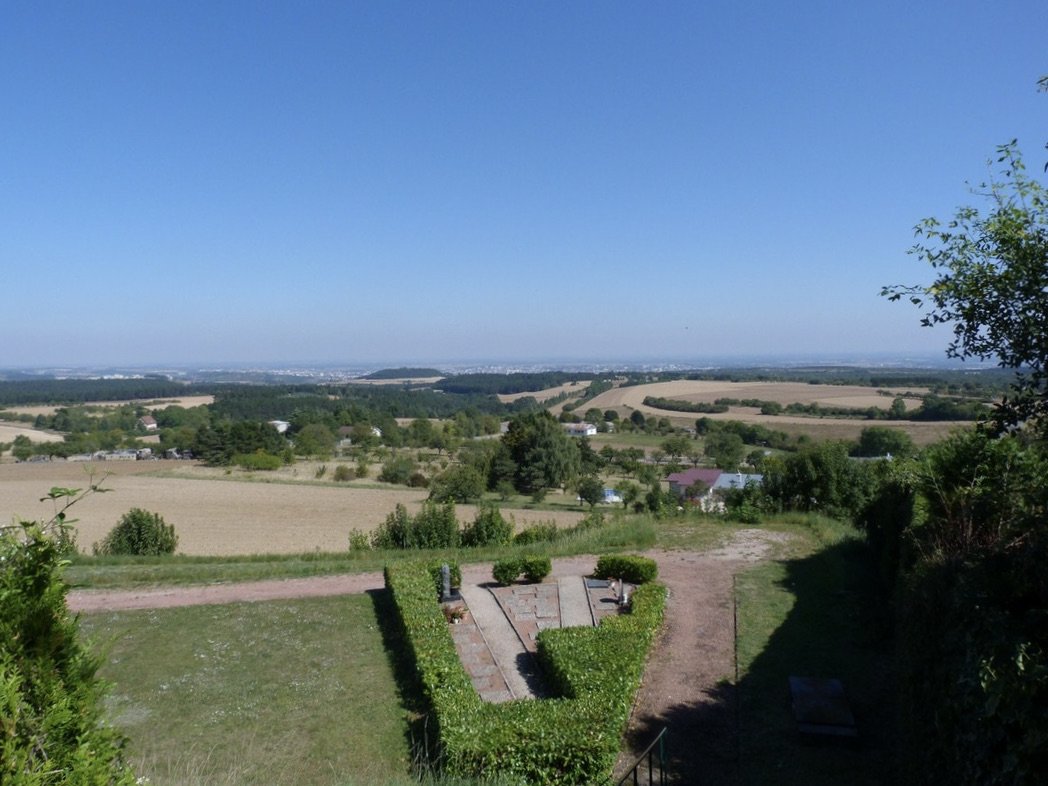
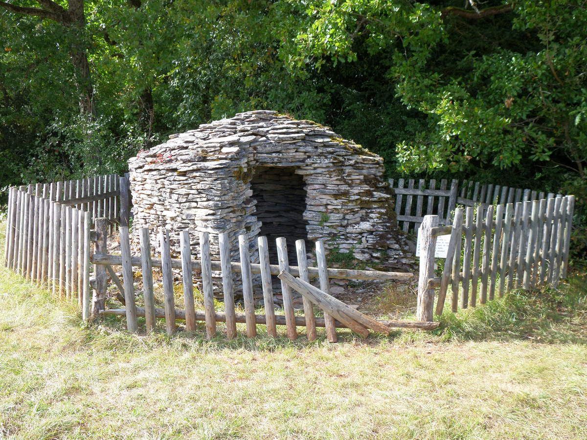
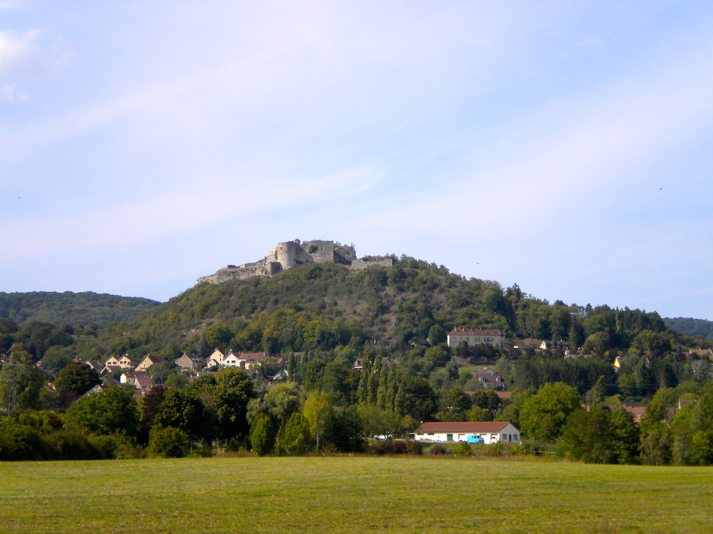
Starting from the village of Mâlain, this path goes around Mont Chauvin then passes by the castle of Mâlain, offering lovely views of the surroundings.

Already more than 200,000 users!
Uphill
195m
Highest point
439m
Downhill
195m
Lowest point
305m
Route type
Loop
Download the map on your smartphone to save battery and rest assured to always keep access to the route, even without signal.
Includes IGN France and Swisstopo.
I indicate whether dogs are allowed or prohibited on this trail
All year
0 ratings
Also enjoy:

Already more than 200,000 users!