Uphill
40m

Length
4km
Duration
1h
Elev gain
40m
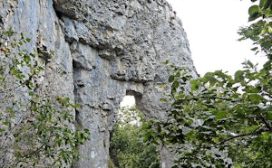
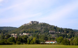
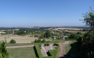
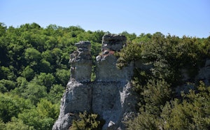
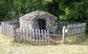
Nice family walk on the archaeological traces of human activity. The route makes a loop embellished with a few natural curiosities and offers beautiful views of the Ouche valley, the hills of the Arrière-Côte and the village of Fleurey-sur-Ouche.

Already more than 200,000 users!
Uphill
40m
Highest point
283m
Downhill
40m
Lowest point
255m
Route type
Loop
Download the map on your smartphone to save battery and rest assured to always keep access to the route, even without signal.
Includes IGN France and Swisstopo.
I indicate whether dogs are allowed or prohibited on this trail
All year
0 ratings
Also enjoy:

Already more than 200,000 users!