Uphill
251m
Length
7km
Duration
2h30min
Elev gain
251m
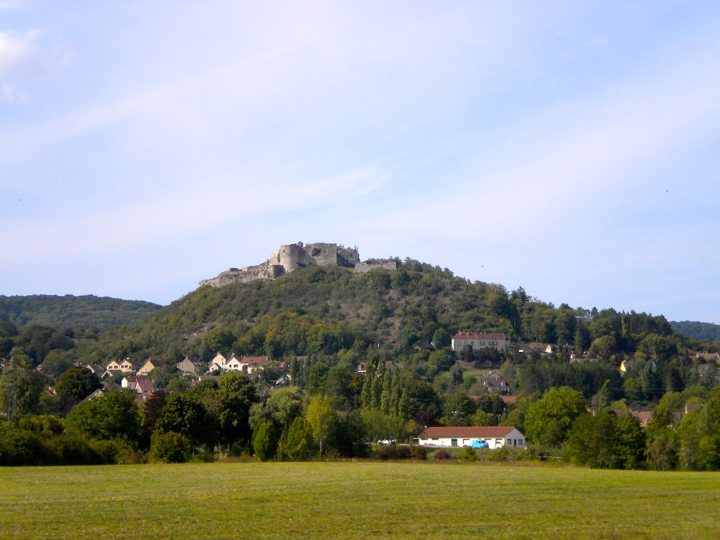
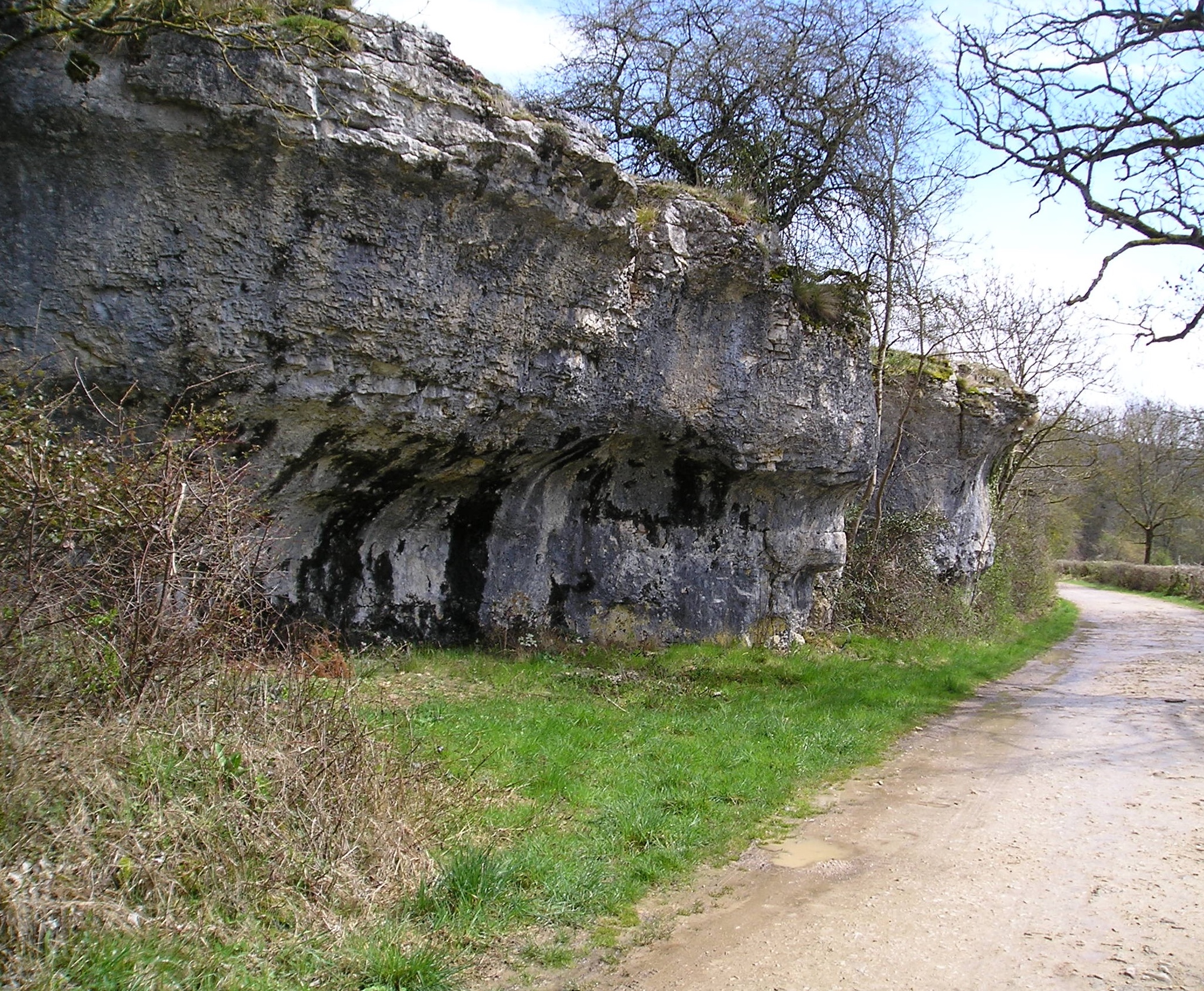
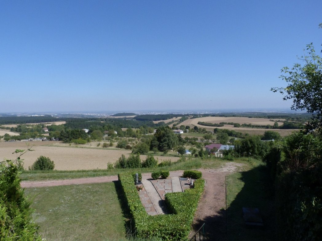
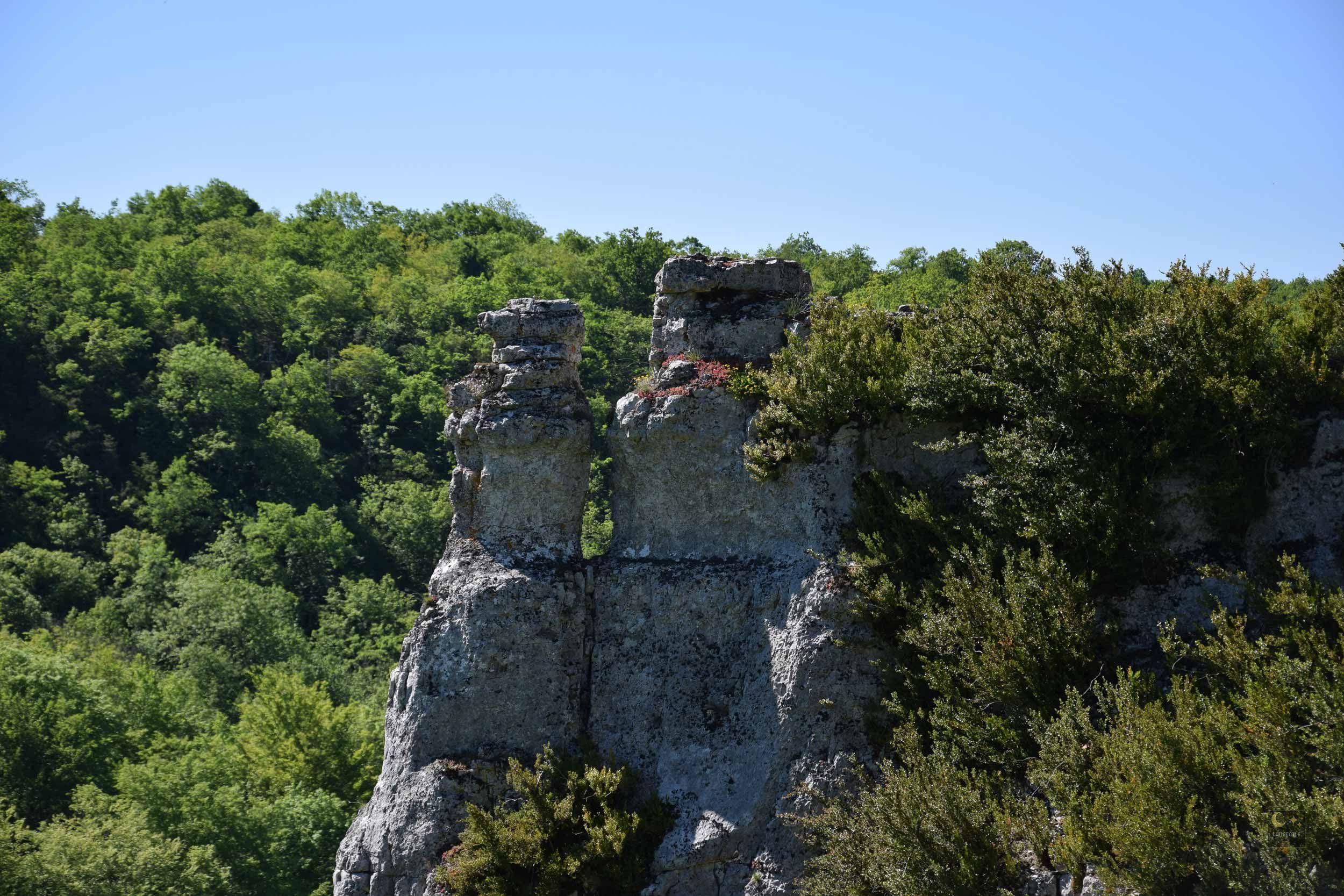
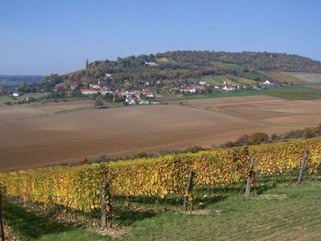
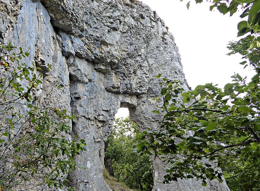
Here is a popular hike near Dijon, in the commune of Pont-de-Pany. This route climbs to the rocky outcrop of the Roche d'Anse, the highest point of the Plain de Suzard (532 m), where the panoramic view of the surroundings is splendid.

Already more than 200,000 users!
Uphill
251m
Highest point
518m
Downhill
251m
Lowest point
279m
Route type
Loop
Download the map on your smartphone to save battery and rest assured to always keep access to the route, even without signal.
Includes IGN France and Swisstopo.
I indicate whether dogs are allowed or prohibited on this trail
All year
0 ratings
Also enjoy:

Already more than 200,000 users!