Uphill
226m
Length
7km
Duration
2h30min
Elev gain
226m
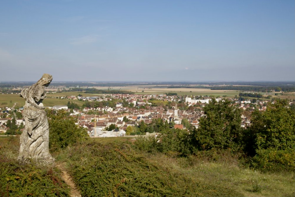
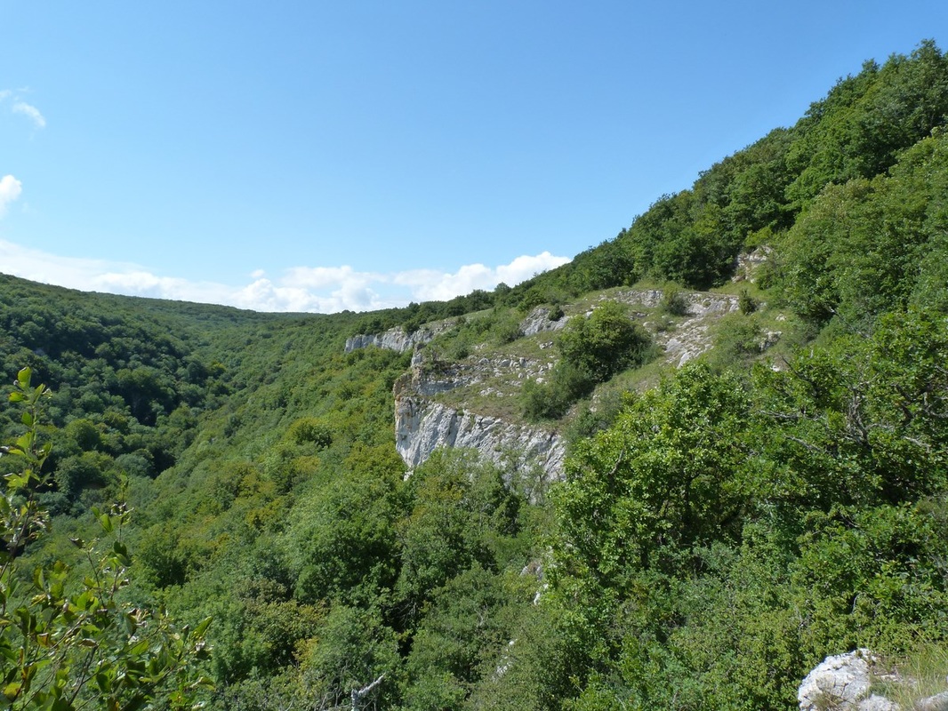
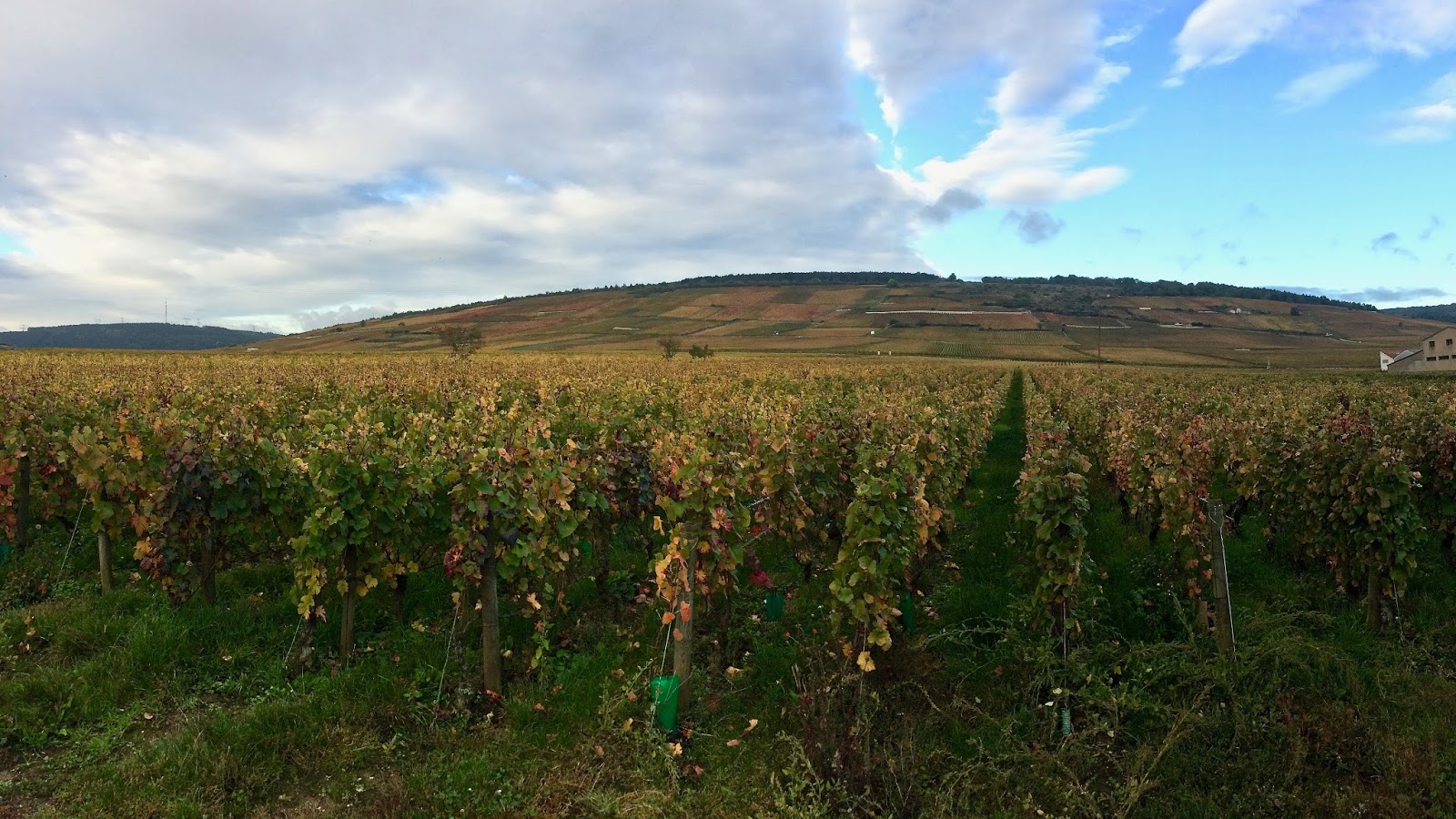
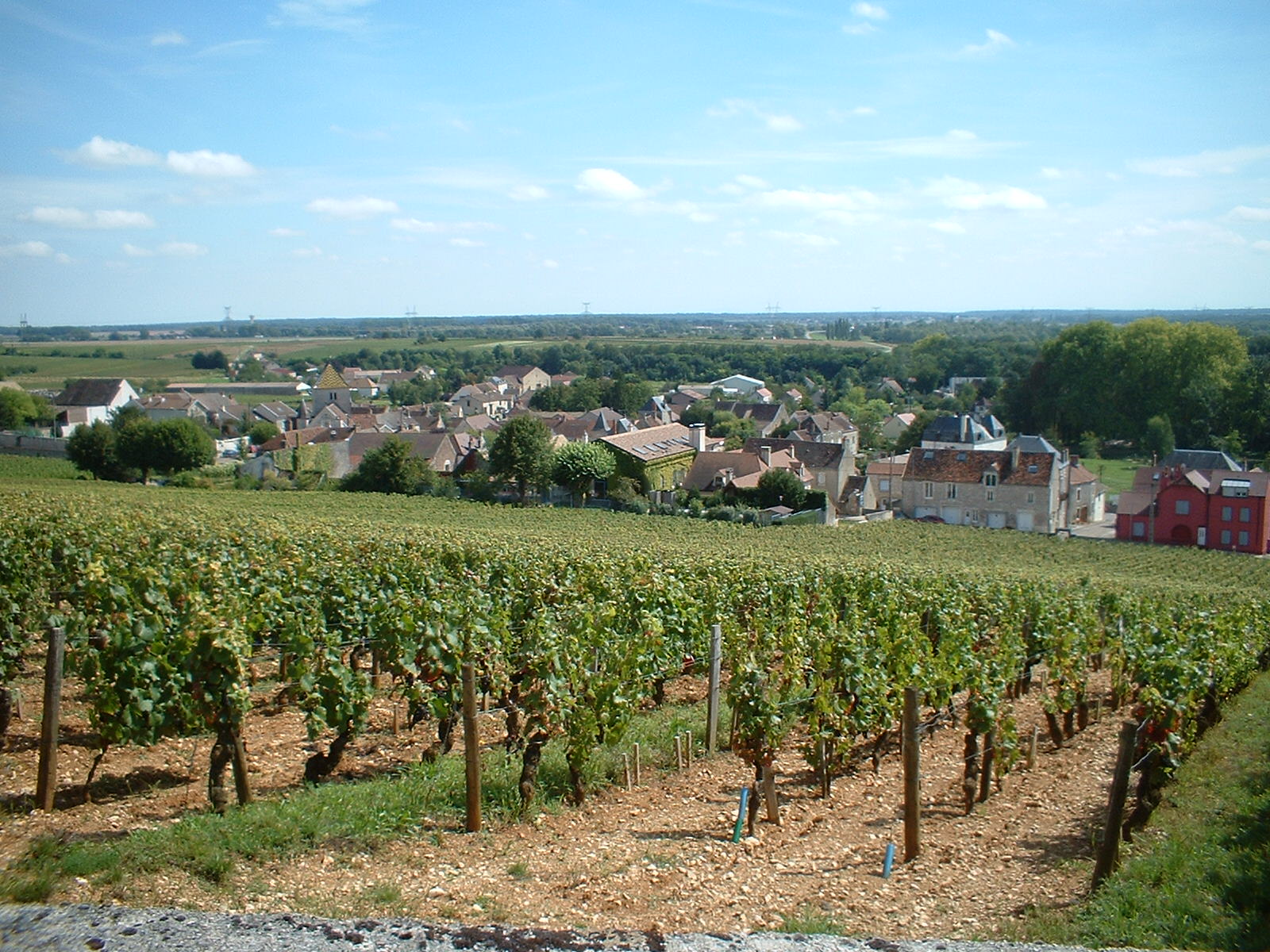
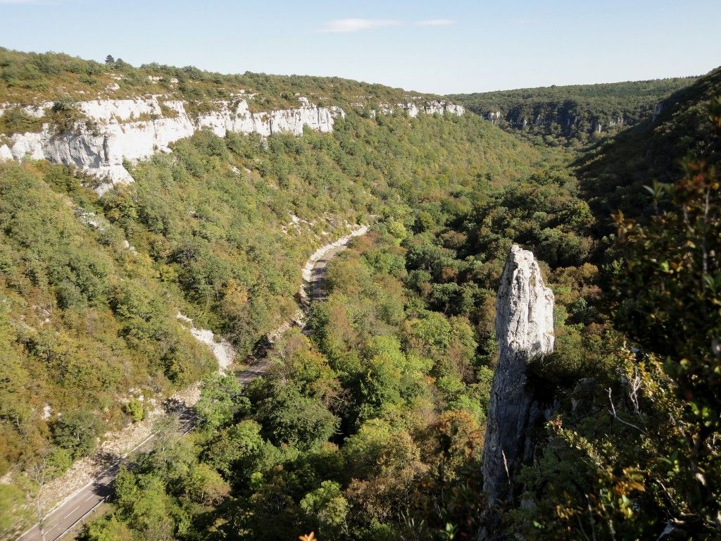
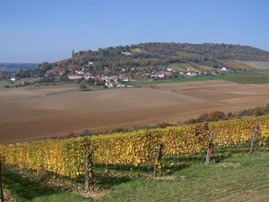
Departing from Curtil-Vergy, this walk makes a loop on the heights of the town. The path crosses fields of vines then rushes into the forest before returning to the starting point.

Already more than 200,000 users!
Uphill
226m
Highest point
512m
Downhill
226m
Lowest point
315m
Route type
Loop
Download the map on your smartphone to save battery and rest assured to always keep access to the route, even without signal.
Includes IGN France and Swisstopo.
I indicate whether dogs are allowed or prohibited on this trail
All year
0 ratings
Also enjoy:

Already more than 200,000 users!